Hope Island Marine State Park

-
 Length
- 3.5 miles of trails
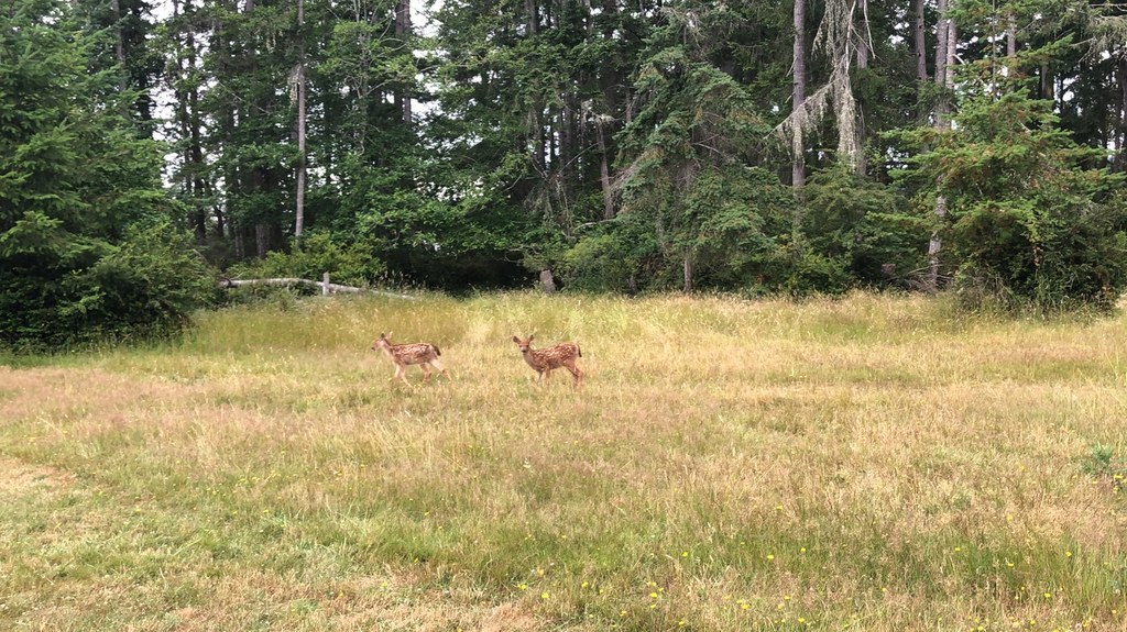
This isolated little island in south Puget Sound attracts boaters to explore it's short shoreline and hiking trail.
Continue reading

Hiking Hope Island Marine State Park
Hope Island Marine State Park
Map & Directions
 Trailhead
Before You Go
WTA Pro Tip: Save a copy of our directions before you leave! App-based driving directions aren't always accurate and data connections may be unreliable as you drive to the trailhead.


