
This destination is all about the search for solitude in the often crazy and busy South Fork Stillaguamish River valley. The trail leads to not one, but two alpine lakes. The first, Independence, is less than a mile-long hike and makes for a great first backpack for kids. The second, more difficult to reach, is North Lake, an additional 2.2 miles up the trail.
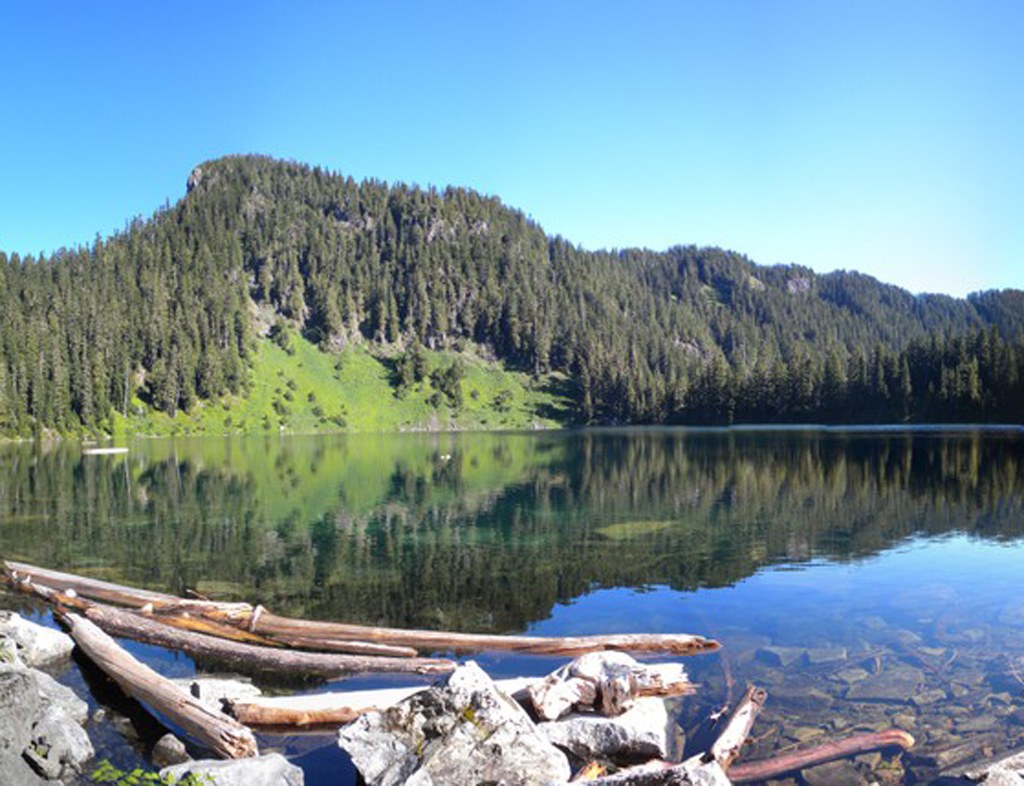
The trail starts off with a series of short switchbacks in an old clearcut before turning gentle and meandering off into old-growth forest. The trail from here to Independence is short but rough with plenty of large roots, rock and mud to navigate as well as a few unnecessary and steep downs and ups. However, these bumps will soon be forgotten when you start glimpsing the lake. The magically blue lake sits in a steep and rugged little basin, its varied shoreline ripe for exploring.
The trail continues high above the water along the west side of the lake before descending to a marshy meadow at the north end. You can stop here or continue onto North Lake. The path to North Lake begins to switchback steeply to the northeast. You’ll know you are on the right track when you come upon the immense double-trunked Alaskan yellow cedar. It’s hard to walk by without pausing to ponder the tree, while you take a drink of water.
About a mile past Independence Lake, the first of several ridges is reached with views of Mount Baker and Three Fingers. Continue on past several tarns before reaching a second ridge with views of Glacier Peak. North Lake can be glimpsed in a basin 700 feet below.
Independence and North Lakes

-
 Length
- 7.0 miles, roundtrip
-
 Elevation Gain
- 2,200 feet
-
 Highest Point
- 4,950 feet
Surrounded by a rugged topography cloaked in ancient forest, the setting is as wild as any along the Mountain Loop Highway, except for one noticeable difference. North and Independence lack the crowds that inundate nearby backcountry lakes.
Continue reading
Hiking Independence and North Lakes

WTA worked here in 2025, 2023, 2019, 2016 and 2015!
Independence and North Lakes
Map & Directions
 Trailhead
Before You Go
Parking Pass/Entry Fee
Northwest Forest PassWTA Pro Tip: Save a copy of our directions before you leave! App-based driving directions aren't always accurate and data connections may be unreliable as you drive to the trailhead.


