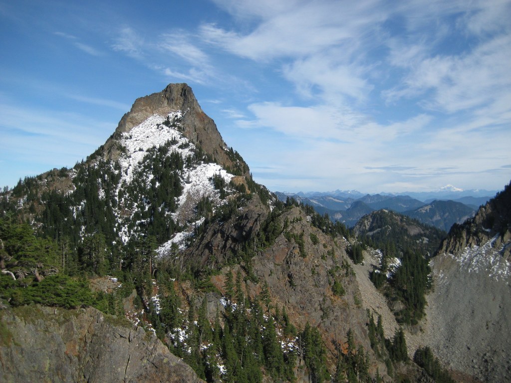

A peak near Melakwa Lake on the north side of I-90. Climbing experience and route finding necessary to gain the summit.
Kaleetan Peak

-
 Length
- 12.0 miles, roundtrip
-
 Elevation Gain
- 4,500 feet
-
 Highest Point
- 6,224 feet
A peak near Melakwa Lake on the north side of I-90. Climbing experience and route finding necessary to gain the summit.
Continue reading
Hiking Kaleetan Peak
Kaleetan Peak
Map & Directions
 Trailhead


