
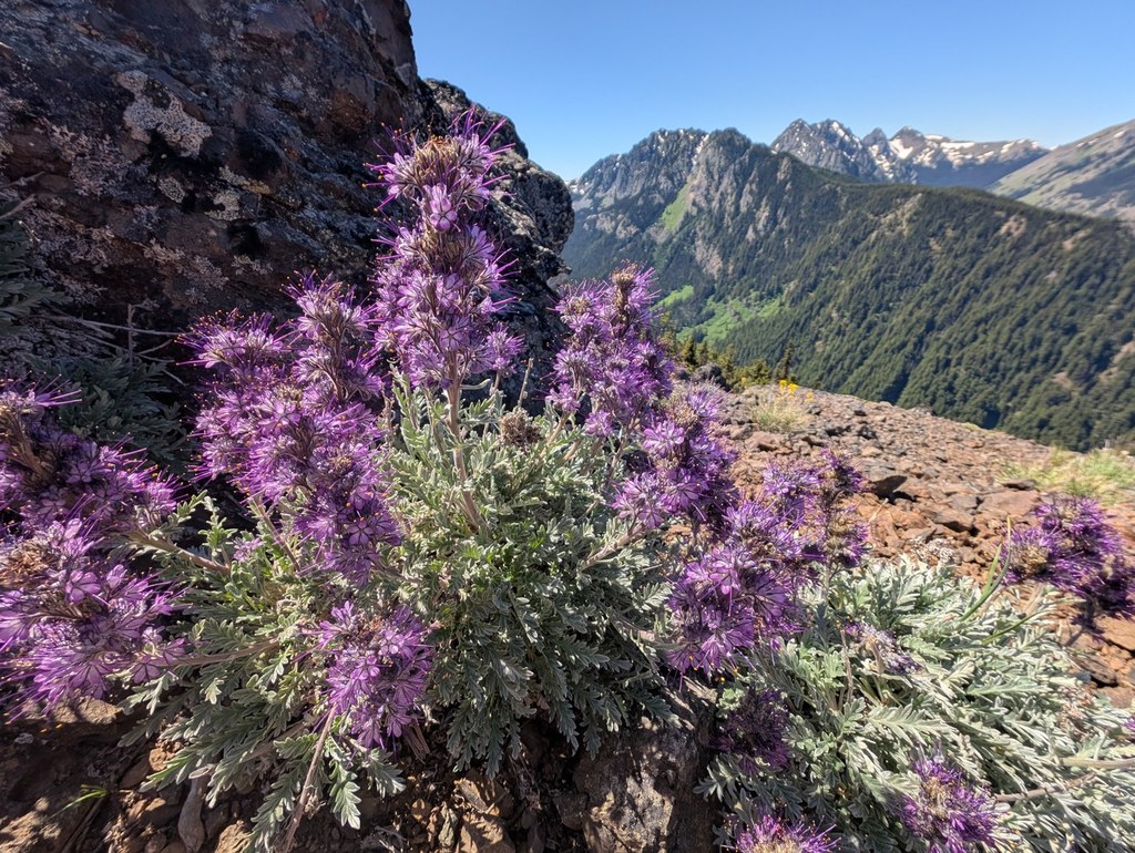
Take this lung-busting trail up the north side of Mount Townsend, through coniferous forests offering cameo views to the Strait of Juan de Fuca to the north, opening onto views of the Dungeness and Graywolf watersheds to the west.
Providing a different approach up Mount Townsend, this trail is enjoyable and steep with good footing throughout. From the Little Quilcene Trailhead to the peak of Mount Townsend is 3.4 miles and 2180 feet in elevation gain, enough to prompt more than a few breaks to catch your breath.
After two miles, the trail intersects with the Mount Townsend Trail. At this junction, the trail moves up the north side of Mount Townsend and opens up to views to the west looking into the Dungeness and Graywolf watersheds.
Finally, you'll enter the sub-alpine and alpine areas on the slopes of Mount Townsend with expansive views in every direction.
Little Quilcene River

-
 Length
- 6.8 miles, roundtrip
-
 Elevation Gain
- 2,180 feet
-
 Highest Point
- 6,200 feet
Parking Pass/Entry Fee
None
Take this lung-busting trail up the north side of Mount Townsend, through coniferous forests offering cameo views to the Strait of Juan de Fuca to the north, opening onto views of the Dungeness and Graywolf watersheds to the west.
Continue reading
Hiking Little Quilcene River
Map & Directions
 Trailhead
Before You Go
Parking Pass/Entry Fee
NoneWTA Pro Tip: Save a copy of our directions before you leave! App-based driving directions aren't always accurate and data connections may be unreliable as you drive to the trailhead.
Getting There
From Quilcene, travel north for 2 miles and turn left onto Lords Lake Road. At the lake stay left, and follow Forest Service Road 28 over Bon Jon Pass to the junction with Forest Service Road 2820, approximately 6 miles. Follow Forest Road 2820 for 4 miles to the trailhead.


