

Begin or continue your journey on Mount Rainier's iconic Wonderland Trail. This section of trail takes you around the southwest side of the mountain through some of the most stunning views in the park. Climb up and down ridges, over creeks, and through meadows on your way to South Puyallup River Camp.
Begin from Longmire. Be sure to stop by the visitor center to gather all the information you need and to say hello to the nice park rangers. The trail starts just across the street. It starts quickly, climbing right up Rampart Ridge. Reach the top at Cougar Rock, and follow the Wonderland Trail left for 0.2 mile, then right over the ridge.
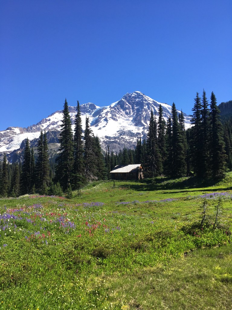
Descend into Kautz Creek and cross it. Pyramid Creek Camp is between Kautz and Pyramid Creeks. Stop to chat with others attempting the Wonderland. Quickly begin to climb again as you aim for Devil's Dream Camp between Satulick and Iron Mountains. Emerge from camp into Indian Henry's Hunting Ground, which offers some of the best views in the park. The meadow is lush with wildflowers and Rainier's summit watches over you.
Pass by a ranger cabin as you continue along towards Emerald Ridge. Descend 1,000 feet to cross Tahoma Creek, then climb back up the side of the ridge. The Tahoma Glacier is right in front of you for this climb, distracting you from the elevation gain with its beauty. Once you reach the top of the ridge, stop to admire the views. Some say the landscape from Emerald Ridge rivals that of Summerland. We'll let you be the judge.
The final leg of the journey takes you down the other side of Emerald Ridge into South Puyallup River Camp. Here you can continue on the Wonderland or connect to the South Puyallup trail, which will take you to the road.
 Trailhead


