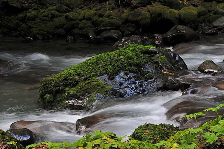
The Lower Dungeness Trail travels through mostly conifer forests along the steep slopes of the Dungeness. You'll start very close to the river with views of the lush valley floor, but soon, the trail starts to ascend to the steep valley walls.
Beginning riverside, this trail climbs up along a hillside and in the first couple of miles and passes through various stands of cedar, Douglas fir and alder. You'll occasionally be offered views of the other side of the Dungeness Valley and even the snowy caps far up to the river headwaters.
At two miles, a trail to the left shortly leads to a big rocky outcropping. From here, you will be offered a full view of the entire valley upstream all the way to Mount Townsend.
At the halfway point, be sure to detour for Three O'Clock Ridge. This makes a good spot to stop for a snack, where you'll enjoy views of the valley bottom, Dirty Face Ridge and Mount Townsend.
This overlook makes a great stopping spot, but those that want to continue are in for a treat past the viewpoint. The forest gets more gorgeous as you go, and the trail returns you to the river level again. A shelter in excellent condition sits next to the Dungeness.
The trail ends at the upper trailhead at around 6.0 miles. The upper trailhead has a campsite making it a viable option for a car camp. For day hikers, call it quits at the upper trailhead and hike the way you came.


 Trailhead


