Lunch Rock https://www.wta.org/go-hiking/hikes/lunch-rock https://www.wta.org/site_images/hikes/lunch-rock.jpeg/@@download/image/Lunch Rock.jpeg Lunch Rock Snoqualmie Region > Salmon La Sac/Teanaway Length 9.0 miles, roundtrip
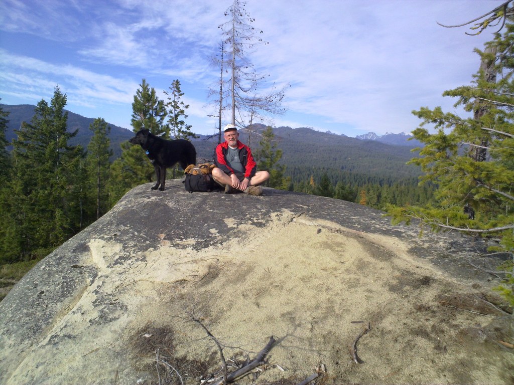
 Full-size image Add Hike to My Backpack Saved to My Backpack Continue reading Rating 2.00 out of 5 (1 vote) Log in to rate 4 trip reports for this trail Write a trip report Hiking Lunch Rock Lunch Rock Map & Directions Before You Go WTA Pro Tip: Save a copy of our directions before you leave! App-based driving directions aren't always accurate and data connections may be unreliable as you drive to the trailhead. More Hike Details Trailhead Snoqualmie Region > Salmon La Sac/Teanaway Washington State Department of Natural Resources News Hiker Headlines: Highway 20 closed this weekend, Summit at Snoqualmie parking fees November 13, 2025 Learn Hiking Maps and Why You Need Them You can improve or add to this guidebook entry! Update page