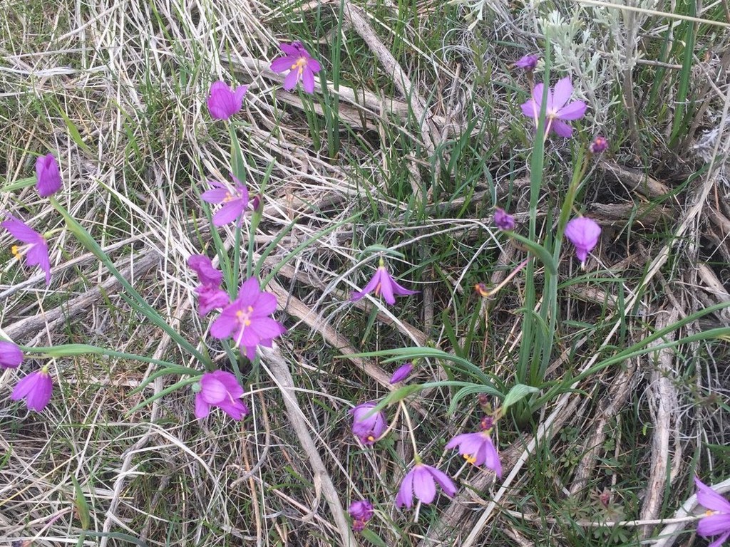
Part of the trail system at Manastash Ridge, the Prater trail allows hikers to make loops or alternate routes for the more well-known Westberg Trail.
From the parking area on Cove Road, head straight up and around the gate and shortly cross a small footbridge over an irrigation channel. This is the only water you'll see on your hike, and you won't want to drink it, so be sure to carry all you'll need.
There's also a sign here, which helps you get an idea of how the trail system works together. Follow the Prater trail (which lies west of the Westberg trail) on a fairly gradual incline.
Halfway through your hike, the grade kicks up a notch, and the trail becomes much steeper, following a ridgeline and heading straight for the top. In the woods below the summit, the trail becomes even steeper, switchbacking tightly before you pop out onto the summit.
Catch your breath and enjoy the view from the top before heading back down.


 Trailhead


