Trails for everyone, forever

Home Go Hiking Hiking Guide Cape Disappointment State Park - McKenzie Head
WTA is a nonprofit that needs you

We're just as excited as you to get the summer hiking season started. We're psyched our website, app and work for trails help you get outside.

But we're a nonprofit that runs on donations from regular people. If everyone who visited this site this holiday weekend donated $9/month, it would fully fund our work for the next 2 years. Time spent outdoors is priceless, but every donation large or small helps us support those experiences for everyone. Thank you and happy hiking!


Please take 2 minS to chip in $9

link

Cape Disappointment State Park - McKenzie Head

Southwest Washington > Long Beach Area
46.2857, -124.0632 Map & Directions
Length
0.4 miles, roundtrip
Elevation Gain
200 feet
Highest Point
200 feet
Calculated Difficulty About Calculated Difficulty
Easy
At the top of McKenzie Head. Photo by Austin Smith. Full-size image
  • Dogs allowed on leash
  • Summits
  • Good for kids
  • Established campsites
  • Coast

Parking Pass/Entry Fee

Discover Pass
Saved to My Backpack

Take a short hike near the campgrounds at Cape Disappointment State Park to gorgeous views of the mighty Pacific Ocean and the Columbia River. Continue reading

Rating
4.00 out of 5

Hiking Cape Disappointment State Park - McKenzie Head

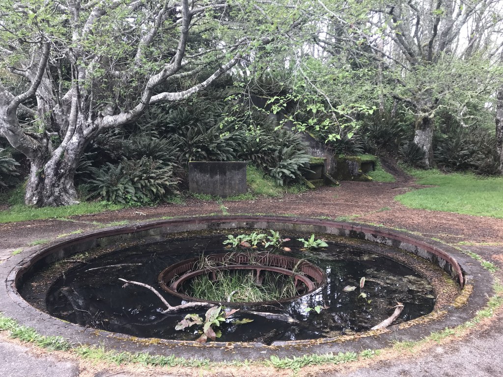
This short but steep hike is packed with history, geologic interest, wildlife, and dramatic views. Ingloriously named for a fur trader, this rocky bluff of land was Clark’s furthest western point in 1805. Since then the bluff was used by the military during World War II with several artillery mounts and heavy bunkers extant.

Today this bluff offers a short leg stretch for hikers of all ages and types. History buffs will enjoy the historical markers discussing the Lewis and Clark expedition. Birders and botanists will certainly enjoy the lush coastal environment. McKenzie’s Lagoon sits just south of the head providing good breeding ground for waterfowl.

Views from the top reveal glory in the surf crashing against the North Jetty. This is evidence of humankind's neverending quest to bend nature to our hand. Below the head’s steep western face was once the ocean. Since 1917, the jetty was built to protect the mouth of the Columbia. After its construction, sediment shifted by the ocean began to accumulate, and ever since, land has been rapidly growing at the base of McKenzie Head. This land now extends more than a mile out into the sea, complete with mature trees, campgrounds, and a fabulous beach.

After exploring the old military bunkers return the way you came. Watch the carpeted forest floor for rough-skinned newts with their orangey-red underbellies. Unlike most salamanders, thes little guys are so poisonous to predators that they can freely roam during the day. When frightened it will freeze and expose its’ underside as a colorful reminder not to touch.

As you walk down towards the trailhead you will note McKenzie Lagoon on your right. Look up at the next bluff to the south and you may see the South Cape Disappointment lighthouse faithfully doing its’ job since 1856. As an interesting side note, guns were stationed at this lighthouse to protect the Columbia River during the Civil War!

McKenzie Head is part of Cape Disappointment State Park. It is a fabulous place to spend a weekend with family and friends. Razor clam digging (in season), 19th century lighthouses, and coastal flora and fauna are among the pleasures of this small corner of Washington State.

Hike Description Written by
Austin Smith, WTA Correspondent

Cape Disappointment State Park - McKenzie Head

Map & Directions

Trailhead
Co-ordinates: 46.2857, -124.0632 Open in Google Maps

Before You Go

See weather forecast

Parking Pass/Entry Fee

Discover Pass

WTA Pro Tip: Save a copy of our directions before you leave! App-based driving directions aren't always accurate and data connections may be unreliable as you drive to the trailhead.

Getting There

Enter Cape Disappointment State Park from SR-100 Spur just south of Ilwaco. After going through the entrance take the first right following signs for the campgrounds. Keep O’Neil Lake and its’ campground on your right as your road bends to the left.

Approximately one-quarter mile past that campground the speed limit drops to fifteen miles per hour and “pedestrian traffic” signs appear. Just at a right hand bend in the road, there is a pull out on the left. This is the trailhead.

More Hike Details

Trailhead

Southwest Washington > Long Beach Area

Washington State Parks

You can improve or add to this guidebook entry!

Cape Disappointment State Park - McKenzie Head

5 Trip Reports

Hiked here recently?

Submit a trip report!
 
Trip Reports