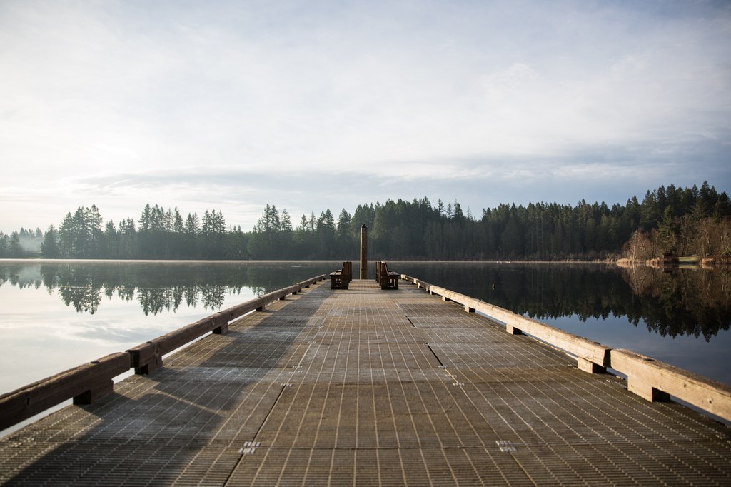

Millersylvania State Park sports camping, boating and more than eight miles of hiking trails. The trails zigzag all around, so visitors can construct a loop of up to five miles, and add some side trips on. The huge old growth cedar and fir, easy accessibility to I-5 and excellent opportunity for a pleasant walk in the woods make this an attractive place to hike, especially in winter.
The best place to start your journey is right at the park entrance. Print the park's map or consult it before taking off, it will help you plan your visit. Before entering into the forest, admire that handiwork of the park's structures, courtesy of the Civilian Conservation Corps in the 1930s.
Follow the outermost trails, paralleling road 121 before turning into the park. This area is known as 'The Fitness Trail'. To do the largest-possible loop, stay right at all intersections. Cross Spruce Creek and about a half mile past the wetland area a small loop trail branches off. Take this trail to add even more mileage. Rounding the corner near this loop trail, you're closing in on the last part of the loop. Cross through the camping area and back to the park entrance to close a three mile loop.
The park's trails can be muddy at times, but boardwalk has been constructed over the boggiest sections.
Millersylvania State Park

-
 Length
- 6.0 miles, roundtrip
-
 Elevation Gain
- 105 feet
-
 Highest Point
- 395 feet
Parking Pass/Entry Fee
Discover Pass
Millersylvania State Park sports camping, boating and more than eight miles of hiking trails. The trails zigzag all around, so visitors can construct a loop of up to five miles, and add some side trips on. The huge old growth cedar and fir, easy accessibility to I-5 and excellent opportunity for a pleasant walk in the woods make this an attractive place to hike, especially in winter.
Continue reading
Hiking Millersylvania State Park

WTA worked here in 2023!
Millersylvania State Park
Map & Directions
 Trailhead
Before You Go
Parking Pass/Entry Fee
Discover PassWTA Pro Tip: Save a copy of our directions before you leave! App-based driving directions aren't always accurate and data connections may be unreliable as you drive to the trailhead.


