
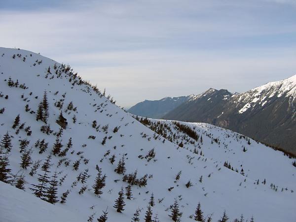
Access to Mount Gardner has been closed by a gate and a washout.
Mount Gardner

-
 Length
- 12.0 miles, roundtrip
-
 Elevation Gain
- 1,500 feet
-
 Highest Point
- 3,800 feet
Access to Mount Gardner has been closed by a gate and a washout.
Continue reading
Hiking Mount Gardner
Mount Gardner
Map & Directions
 Trailhead
Before You Go
WTA Pro Tip: Save a copy of our directions before you leave! App-based driving directions aren't always accurate and data connections may be unreliable as you drive to the trailhead.
Getting There
From Seattle drive east on I-90 to exit 39. Turn east onto old US 10 and drive 2 miles, paralleling I-90. At 2 miles turn right onto Forest Road 9020. In another mile this rough road crosses the Iron Horse Trail, then at 4.5 miles from the freeway exit you'll cross the McClel-lan Butte Trail. For the next 3.5 miles the road is rough (high-clearance vehicle recommended). At a fork in the road, about 8 miles from the freeway (elev. 2350 ft), find a place to park. The road continues, but it degrades the higher you climb, so better to trust your feet rather than your wheels from here on out.


