
A long road walk through a logging operation is required to access this trailhead.
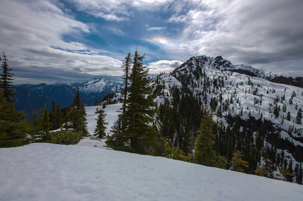
Mount Jupiter

-
 Length
- 14.0 miles, roundtrip
-
 Elevation Gain
- 3,950 feet
-
 Highest Point
- 5,701 feet
A long road walk through a logging operation is required to access this trailhead.
Continue reading
Hiking Mount Jupiter

WTA worked here in 2014 and 2007!
Mount Jupiter
Map & Directions
 Trailhead
Before You Go
WTA Pro Tip: Save a copy of our directions before you leave! App-based driving directions aren't always accurate and data connections may be unreliable as you drive to the trailhead.


