

This ski/snowshoe follows the North Fork Teanaway River Road that hikers drive on in the summer to get to the various Teanaway trailheads, passing through open forest and meadows alongside the North Fork Teanaway River.
The grade is mostly gentle and can be anything from a short and easy family outing to a 10-mile trek or an overnight. The stats listed here are for the full 10 miles.
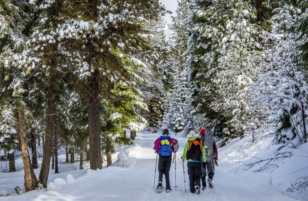
From the road end at 29 Pines Campground, cross the snow berm and start up the North Fork Teanaway Road. The road can get some heavy snowmobile use on weekends, but most of the snowmobiles tend to set out in the morning and don’t return until late in the afternoon, leaving the middle of the day mostly quiet for skiers & snowshoers.
The going is easy as the grade is gentle and there are often snowmobile tracks to walk in. The road ascends through meadows with a nice view of Earl Peak ahead of you, then enters open forest, eventually descending to the bridge across Stafford Creek and the Stafford Creek Road, 1.3 miles from 29 Pines.
The Stafford Creek Road gets little snowmobile use and offers a somewhat more pristine experience for skiers and snowshoers. Continuing up the Teanaway Road, the way ascends gently through forest and clearings, always in sound and often in sight of the river.
In about 2 miles the road passes a kiosk and a small Forest Service cabin that is available to rent. In 3.8 miles from 29 Pines you’ll come to the Beverly Creek Road and the crossing of Beverly Creek. A short ways beyond is the Beverly Campground. For those with more time and energy or looking to snow camp, you can continue, more steeply at times, another 6 miles or so to the end of the road at the Esmeralda/Ingalls Way trailhead.
Seasonal Tip: Though the lower portions of the road are generally safe from avalanches, you’ll need to be aware of the avalanche danger on the upper stretches of the road.
 Trailhead


