Trails for everyone, forever

Home Go Hiking Hiking Guide Panther Lake Trail

Panther Lake Trail

Puget Sound and Islands > Seattle-Tacoma Area
47.2939, -122.3411 Map & Directions
Length
0.9 miles, roundtrip
Elevation Gain
36 feet
Highest Point
283 feet
Calculated Difficulty About Calculated Difficulty
Easy
Flowering Oregon grape is plentiful in the spring along the east section of the trail. Photo by Catherine Vine. Full-size image
  • Dogs allowed on leash
  • Good for kids
  • Lakes
  • Wildflowers/Meadows
  • Wildlife

Parking Pass/Entry Fee

None
Saved to My Backpack

Trade the sounds of the city for birdsong and enjoy some quiet time outside just a short distance from the center of Federal Way. Continue reading

Rating
0.00 out of 5

(0 votes) Log in to rate

Hiking Panther Lake Trail

Panther Lake was formed in the 1990s after the creation of two dams to reduce flooding in the surrounding areas. While views of the lake are limited on this trail, you’ll find plenty to enjoy in this small urban oasis. This loop travels through wetlands, so stay on the main trail to avoid damaging sensitive terrain or accidentally crossing onto private property. 

Take a moment to check out the little free library at the trailhead to see if there is anything that piques your interest, or to drop off a book for someone else to enjoy. Head out to your right along the wide gravel path. As you walk along the trail on the east side of the lake, you’re actually strolling along the top of one of the dams. 

After about 0.2 mile, the trail will split briefly and head downhill before quickly regaining elevation. Stay to the left for a more gentle grade and continue along the path, where you’ll soon come to a small wooden bridge. Once you cross the bridge, you can take a short spur trail to your left that brings you down to the shore of the lake. A bench here provides a shady spot to sit for a bit and enjoy the view.

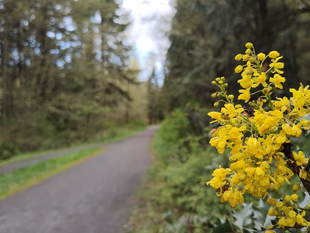
Return the way you came and connect back with the main trail. As you walk through the forest, take note of the varied habitats provided by the woods, the lake and the wetlands surrounding it. This section of the trail is a great place to catch a glimpse of spotted towhees as they flit in and out of the trees. In the spring, keep an eye out for Pacific bleeding heart along the side of the trail, as well as the occasional trillium. 

After about 0.7 mile, the trail merges onto the paved BPA trail for about 0.1 mile before crossing a second bridge and returning to the parking lot. Be alert for cyclists moving quickly along this section of the trail.

Keep an eye out for waterfowl on the lake such as buffleheads and hooded mergansers, particularly in the winter. Year-round, expect to see or hear chickadees, Northern flickers and even the occasional pileated woodpecker.

WTA Pro-Tip: After your hike, visit the newly opened Hanwoori Garden next to the trailhead. Inside, you’ll find a Palgakjeong, a traditional Korean pavilion that was donated by the city of Donghae in South Korea, Federal Way’s sister city since 2000.

Toilet Information

  • Toilet at trailhead

More information about toilets

Wheelchair Accessibility

The Panther Lake loop trail is well-graded and hard-packed, but some wheelchair users may find the wooden bridge challenging to cross, potentially making an out-and-back trip a better option. While the overall elevation gain is fairly low, the trail climbs and drops small amounts throughout. The east section of the trail provides a flatter grade than the north and west portions.

There are two ADA parking spots at the trailhead, as well as a wheelchair-friendly portable restroom. There is also one portable restroom that has a hand bar and is an extra wide width, and has no lip at the doorway. 

Hike Description Written by
Catherine Vine, WTA Staff

Panther Lake Trail

Map & Directions

Trailhead
Co-ordinates: 47.2939, -122.3411 Open in Google Maps

Before You Go

See weather forecast

Parking Pass/Entry Fee

None

WTA Pro Tip: Save a copy of our directions before you leave! App-based driving directions aren't always accurate and data connections may be unreliable as you drive to the trailhead.

Getting There

From I-5, take exit 142B. Merge onto WA-18 west and continue straight onto S 348th St., which will become SW Campus Drive in 0.8 miles. The entrance to the park will be on the right after 0.4 miles. There are two ADA parking spots at the trailhead, as well as a wheelchair-friendly portable restroom.

The park is open from dawn to dusk.

Take Transit

The DART Route 903 stops at the Aquatic Center next door to the park, and connects to the Federal Way Transit Center.

More Hike Details

Trailhead

Puget Sound and Islands > Seattle-Tacoma Area

City of Federal Way

Guidebooks & Maps

https://www.federalwaywa.gov/page/our-parks

https://itallhappenshere.org/wp-content/uploads/2022/05/ParksTrailAndParkMap_2018_horizontal_sm.pdf

You can improve or add to this guidebook entry!

Panther Lake Trail

2 Trip Reports

Hiked here recently?

Submit a trip report!
 
Trip Reports