Trails for everyone, forever

Home Go Hiking Hiking Guide Quinault National Recreation Trails

Quinault National Recreation Trails

Olympic Peninsula > Pacific Coast
47.4599, -123.8621 Map & Directions
Length
4.25 miles, roundtrip
Elevation Gain
350 feet
Highest Point
475 feet
Calculated Difficulty About Calculated Difficulty
Easy/Moderate
  • Dogs allowed on leash
  • Good for kids
  • Fall foliage
  • Waterfalls

Parking Pass/Entry Fee

Northwest Forest Pass

Providing miles of interconnected and gently graded trail, the Quinault National Recreation Trail System provides you with options to extend or shorten your trip into the Quinault Rainforest. The description provided follows Trail the Quinault Loop Trail 854, though it intersects with a few others at various points. Continue reading

Rating
2.64 out of 5

(11 votes) Log in to rate

Hiking Quinault National Recreation Trails

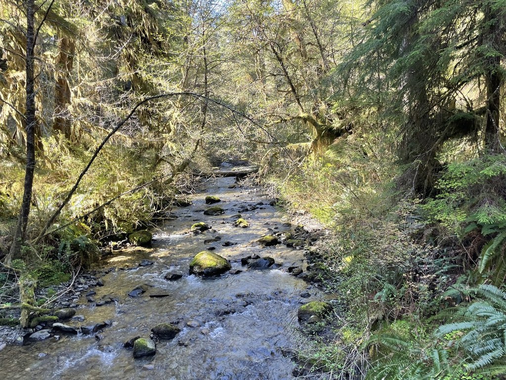
Enter a world of lush green under a towering rainforest canopy of Sitka spruce and western hemlocks. This mossy loop meanders through a boardwalked bog, past crashing creeks and the shore of Lake Quinault, returning via the shorter interpretive loop. This system of interconnecting trails provides you with options to lengthen or shorten your hike.

Begin on the Quinault Rainforest Nature Loop Trail from the parking lot for less than a quarter-mile and continue left onto Quinault Loop Trail 854. From here, gradually ascend and cross Willaby Creek, passing the junction for the Willaby Creek Trail on your right. At 1.5 miles, hike past skunk cabbages and ferns in the Cedar Bog. Benches dot the sides of the trail, where you can pause to take in the sounds of birds and other critters here, though be aware that bugs are plentiful in early summer.

Hiking onward, cross the bridge over Falls Creek and continue past the Lodge Trail junction on your left. The route ascends as you begin to see more creeks on the way to Cascade Falls at 2.2 miles. After the falls, at the next junction with the Gatton Creek Falls Trail, you’ll go left to stay on the Quinault Loop Trail. After rolling up-and-down slightly, you’ll eventually descend making your way down towards South Shore Road.

Cross South Shore Road and in the direction of the Falls Creek Campground, where you will skirt campsites along the creek (this is to the northeast of the parking area for the Quinault Ranger Station). As you emerge from the trees near the campground, the trail parallels the shoreline of Lake Quinault and passes the historic Quinault Lodge. In the early evening, the beach makes for a beautiful spot to take in the sunset.

For the last mile, the trail hugs the edge of the lake past private docks towards Willaby Campground. Pass through the campground, where the trail resumes after 0.2 miles. Hiking under South Shore Road, you’ll pass a couple of small waterfalls and rejoin the Rainforest Nature Loop Trail which leads back to the trailhead.

WTA worked here in 2015 and 2014!

Hike Description Written by
Chris Lambertz, WTA Correspondent

Quinault National Recreation Trails

Map & Directions

Trailhead
Co-ordinates: 47.4599, -123.8621 Open in Google Maps

Before You Go

See weather forecast

Parking Pass/Entry Fee

Northwest Forest Pass

WTA Pro Tip: Save a copy of our directions before you leave! App-based driving directions aren't always accurate and data connections may be unreliable as you drive to the trailhead.

Getting There

From Queets, travel southbound on US 101 for 25 miles and turn left onto Route 9. After 1.1 miles, veer left onto South Shore Road. After 0.4 miles, turn right following signage for Quinault Rainforest.

From Hoquiam, travel northbound on US 101 for 37 miles and turn right following signage for Quinault/South Shore Road. After 0.4 miles, turn right following signage for Quinault Rainforest.

The parking lot accommodates approximately 2 dozen cars and includes RV parking, with water and restrooms available. There is no self-serve permit kiosk.

More Hike Details

Trailhead

Olympic Peninsula > Pacific Coast

Quinault Loop Trail (#854)

Olympic National Forest, Pacific Ranger District

Guidebooks & Maps

Day Hiking: Olympic Peninsula (Romano - Mountaineers Books)

Custom Correct Quinault–Colonel Bob

Buy the Green Trails Quinalt Lake No. 197 map

You can improve or add to this guidebook entry

Quinault National Recreation Trails

78 Trip Reports

Hiked here recently?

Submit a trip report!
 
Trip Reports