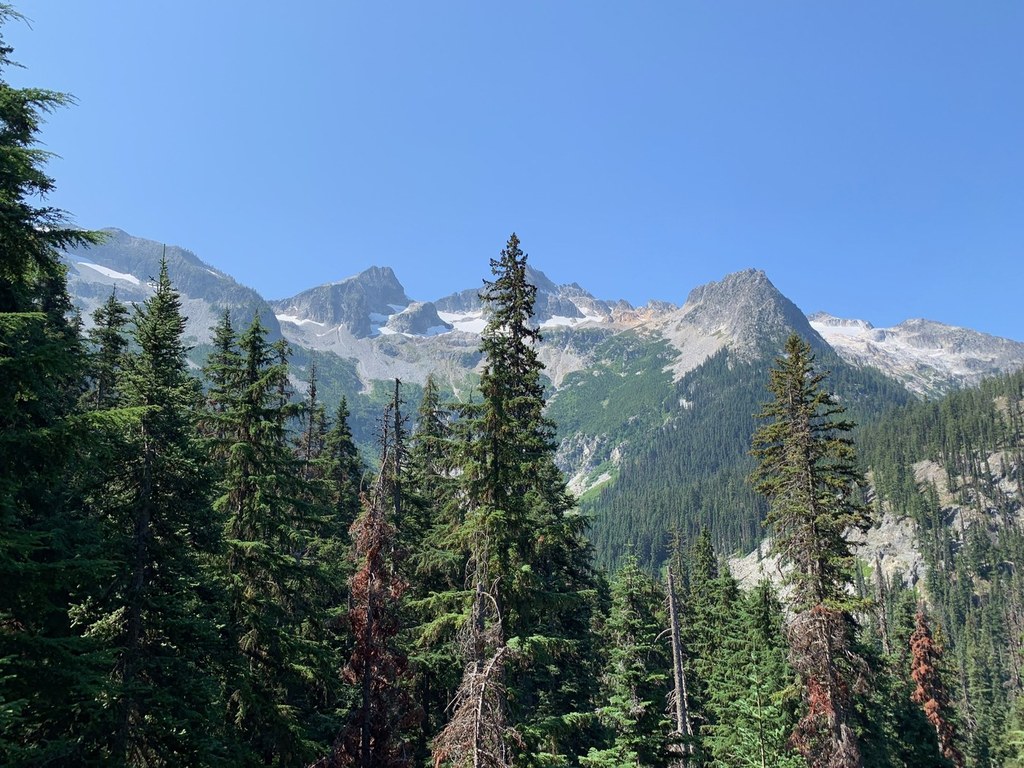

Providing access to Bowan Pass, the Rainbow Lake Trail also allows hikers access to deep blue Rainbow Lake. Used mostly by backpackers, the trail lies deep within a network of other access trails.
Its main use is in conjunction with the Rainbow Creek trail and Bridge Creek trail, to help hikers make a more than 30 mile loop through McAlester Pass, ending either in Stehekin, or just off the North Cascades Highway.
Rainbow Lake

-
 Length
- 11.5 miles, roundtrip
Highway 20 is closed between the Ross Dam trailhead (milepost 134) and Silver Star gate (milepost 171) for the winter season.
Parking Pass/Entry Fee
Northwest Forest Pass
Providing access to Bowan Pass, the Rainbow Lake Trail also allows hikers access to deep blue Rainbow Lake. Used mostly by backpackers, the trail lies deep within a network of other access trails.
Continue reading
Hiking Rainbow Lake
Rainbow Lake
Map & Directions
 Trailhead
Before You Go
A backcountry permit is required to camp overnight in the North Cascades National Park Complex (incl. Ross Lake National Rec Area and Lake Chelan National Rec Area). They are $10 per person plus a $6 non-refundable reservation fee. Permits must be picked up at the Wilderness Information Center in Marblemount. See the National Park Service website for more details on permits.
Highway 20 is closed between the Ross Dam trailhead (milepost 134) and Silver Star gate (milepost 171) for the winter season.
Parking Pass/Entry Fee
Northwest Forest PassWTA Pro Tip: Save a copy of our directions before you leave! App-based driving directions aren't always accurate and data connections may be unreliable as you drive to the trailhead.
Getting There
If you're coming from the North Cascades Highway (the more common way to access this trail), drive Hwy 20 to mile 159, a little more than one mile east of Rainy Pass. Look for the Bridge Creek Trailhead parking, located on the north side of the highway. Cross the highway and pick up the Bridge Creek Trail, then follow it six miles to the junction with the Rainbow Lake Trail. This end of the trail is also sometimes called the South Fork Trail.
From Stehekin, take the bus or walk to the Rainbow Loop Trailhead, about four miles from the landing. Begin hiking on the Rainbow Loop Trail, then branch off and follow the Rainbow Lake Trail five miles in.