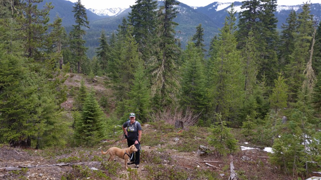


Connect between the Kachess Ridge trail and FS Road 46 as you climb up and over Red Mountain and past Little Joe Lake. The trail climbs steeply up the slopes through a bit of brush and a few places that are hard to follow, but the views along the way will make you forget about the challenge. Pass an old logging road, mine, lookout site, and over ridges that provide sweeping views of the Kachess and Cle Elum Lake areas to the south, and Alpine Lakes Wilderness to the north.
The trail begins off of FS Road 46. There isn't much parking - just a sign indicates the trailhead and there are a few parking spots. There is no bathroom or trash can at the trailhead. From here, the trail quickly climbs up the eastern face of Red Mountain. Basically heading straight up, you gain 3100 feet in 2.4 miles on a series of short switchbacks. Halfway up, pass the logging road on either side of you, but continue straight. Once you reach the top, you will pass near the mine, and the trail becomes difficult to follow for a short stretch up and over the top.
Once over, quickly descend towards Little Joe Lake. At its outlet, the trail splits. Follow it left on a hiker-only trail, and it will take you to Road 4312-123 where you can connect to the Thorp Creek trail or head back down the road. If you continue right, you will go around Little Joe Lake and back up a small ridge. Again, the trail becomes difficult to follow for a bit between the lake and the Kachess Ridge Trail. Wrap around the minor ridge, past another logging road, and finally meet up with the Katchess Ridge Trail.


