Trails for everyone, forever

Home Go Hiking Hiking Guide Sleepy Hollow Trail

Sleepy Hollow Trail

Olympic Peninsula > Hood Canal
47.9228, -123.0261 Map & Directions
Length
16.6 miles, roundtrip
Elevation Gain
2,000 feet
Highest Point
2,950 feet
Calculated Difficulty About Calculated Difficulty
Hard
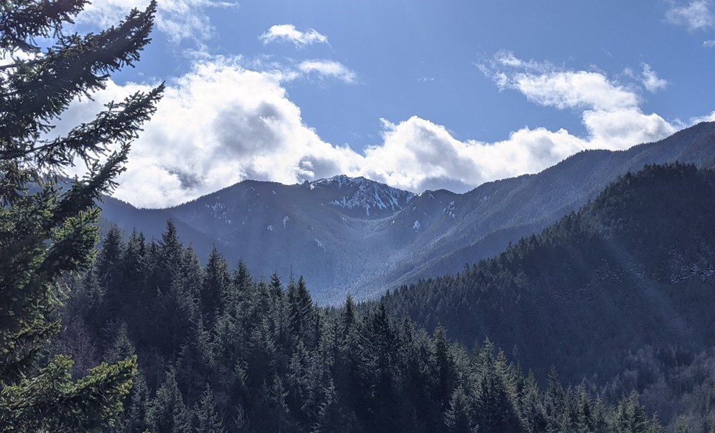
View of Tyler Peak across from Dungeness Valley. Photo by trip reporter Eric Nagle. Full-size image
  • Mountain views
  • Old growth
  • Good for kids
  • Dogs allowed on leash

Parking Pass/Entry Fee

Northwest Forest Pass

Hike along an old road being converted to trail in Olympic National Park. Continue reading

Rating
5.00 out of 5

(2 votes) Log in to rate

Hiking Sleepy Hollow Trail

The Sleepy Hollow trailhead shares Road 28 with the Mount Zion trailhead, which is two miles north of Bon Jon Pass.

The trail starts downhill immediately on an old road, turning gradually into new trail. Eventually, hikers pops out onto a more secluded route that winds down to Gold Creek.

From the Gold Creek crossing the trail continues uphill in a westerly direction on an old road. After a mile it rounds the nose of the ridge and turns south, descending a bit. There are good views into the Upper Dungeness drainage from here. After this viewpoint, maintenance has apparently ceased. The alder closes in and there are blackberry bushes to contend with as well.

WTA worked here in 2020!

Sleepy Hollow Trail

Map & Directions

Trailhead
Co-ordinates: 47.9228, -123.0261 Open in Google Maps

Before You Go

See weather forecast

Parking Pass/Entry Fee

Northwest Forest Pass

WTA Pro Tip: Save a copy of our directions before you leave! App-based driving directions aren't always accurate and data connections may be unreliable as you drive to the trailhead.

Getting There

Drive Highway 101 north from Quilcene for one and a half miles onto Lords Lake Loop Road. Continue 3.5 miles and turn left at a junction near Lords Lake itself.

Turn right onto Forest Road 28 (graveled) and proceed nearly 5 miles to an unmarked junction at Bon Jon Pass. Look for a junction with FR 27 and pass it before arriving at Bon Jon.

In Bon Jon Pass, hang a right on unmarked FR 2810 and in two miles, arrive at the Mount Zion/Sleepy Hollow trailhead. The trail departs across the road from the parking area.

More Hike Details

Trailhead

Olympic Peninsula > Hood Canal

Sleepy Hollow (#852)

Olympic National Forest, Hood Canal Ranger District

Guidebooks & Maps

Custom Correct Buckhorn Wilderness

Buy the Green Trails Tyler Peak No. 136 map

You can improve or add to this guidebook entry

Sleepy Hollow Trail

17 Trip Reports

Hiked here recently?

Submit a trip report!
 
Trip Reports