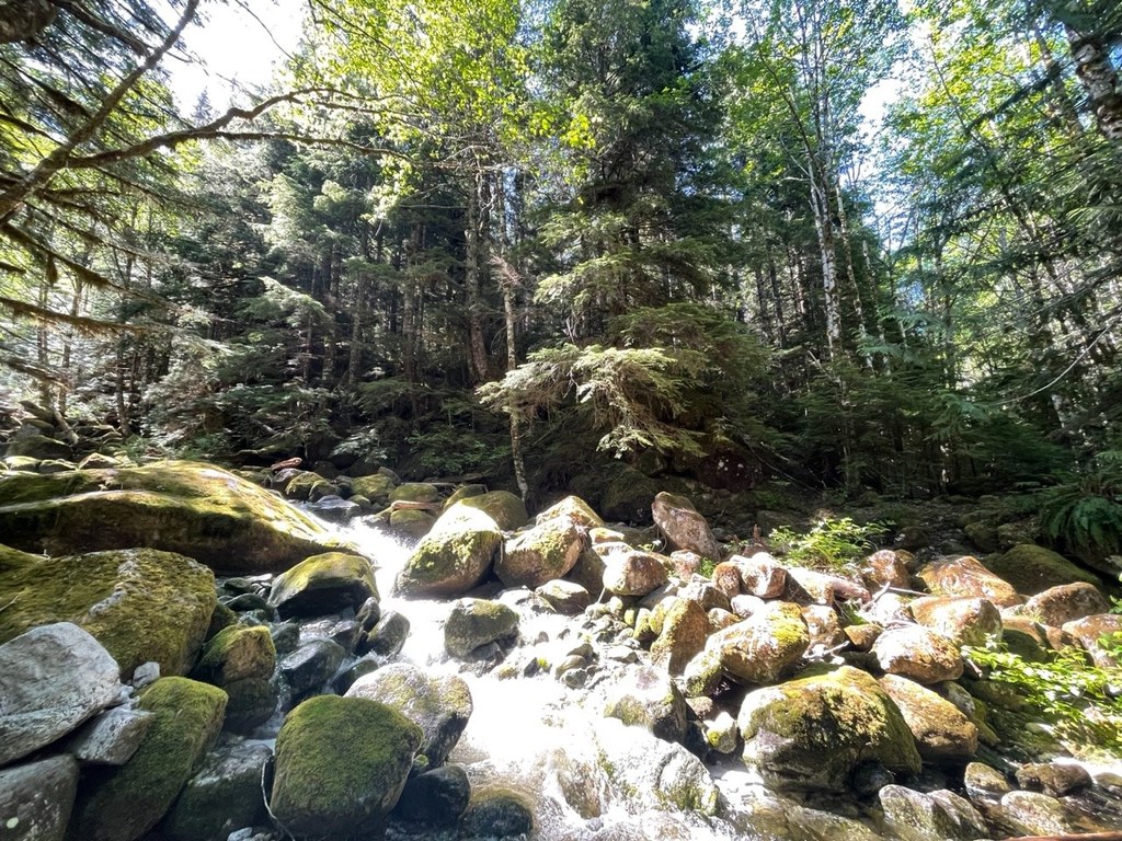

Because the way up from Squire Creek had been barred for many years due to an unstable rock slide, the trail is a mess. Bushwhacking is necessary as you approach Squire Creek Pass. The brush is high and tread non-existent in several places as you crossed avalanche chutes, rock slides and creek beds. Cairns were helpful to lead the way, route-finding skills are a must on this one.
The end of the original road, suffered several massive rockslides in 2003. The past decade has turned 2.2 miles of the road into a trail again. We had no trouble in this section, but early in the season there can be a few hairy creek crossings. Near the trailhead we were delighted to discover recent work by WTA trail crews. Maybe there is hope for rehabilitating this trail yet.
The Squire Creek side requires route-finding abilities.
Squire Creek

-
 Length
- 8.5 miles, roundtrip
-
 Elevation Gain
- 2,566 feet
Parking Pass/Entry Fee
Northwest Forest Pass
A route-finding bushwhack to beautiful views and berries in the summertime in the North Cascades
Continue reading
Hiking Squire Creek

WTA worked here in 2013 and 2012!
Squire Creek
Map & Directions
 Trailhead
Before You Go
Parking Pass/Entry Fee
Northwest Forest PassWTA Pro Tip: Save a copy of our directions before you leave! App-based driving directions aren't always accurate and data connections may be unreliable as you drive to the trailhead.


