Trails for everyone, forever

Home Go Hiking Hiking Guide Pacific Crest Trail (PCT) - Stampede Pass to Tacoma Pass
WTA is a nonprofit that needs you

We're just as excited as you to get the summer hiking season started. We're psyched our website, app and work for trails help you get outside.

But we're a nonprofit that runs on donations from regular people. If everyone who visited this site this holiday weekend donated $9/month, it would fully fund our work for the next 2 years. Time spent outdoors is priceless, but every donation large or small helps us support those experiences for everyone. Thank you and happy hiking!


Please take 2 minS to chip in $9

link

Pacific Crest Trail (PCT) - Stampede Pass to Tacoma Pass

Snoqualmie Region > Snoqualmie Pass
47.2833, -121.3512 Map & Directions
Length
10.6 miles, one-way
Elevation Gain
2,330 feet
Highest Point
4,600 feet
Calculated Difficulty About Calculated Difficulty
Hard
A PCT blaze on the trail. Photo by Lunapeople. Full-size image
  • Wildflowers/Meadows
  • Mountain views
  • Old growth
  • Fall foliage

Parking Pass/Entry Fee

None
Saved to My Backpack

Follow the Pacific Crest Trail along a lightly used section in the forests south of Snoqualmie Pass, enjoy views, old growth forest, and in season, great huckleberries. Continue reading

Rating
0.00 out of 5

(0 votes) Log in to rate

Hiking Pacific Crest Trail (PCT) - Stampede Pass to Tacoma Pass

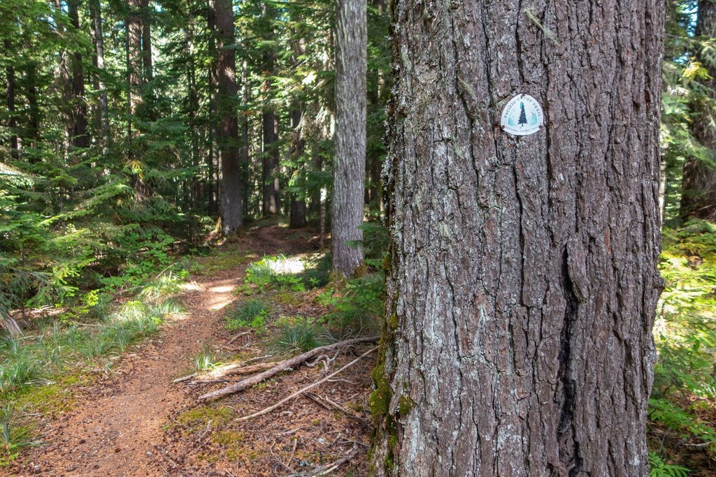
Hike a quiet but underrated 10.6 mile section of the Pacific Crest Trail (PCT) in the region south of Snoqualmie Pass. The trail crosses under two sets of power lines before settling into a pleasant track through mature second growth, old growth forest, and regrown clear cuts rich in berries.

The trail traverses the shoulder of Snowshoe Butte and provides big views to the north, east, and south. Meadows and views along the way. The southern 3 miles of the hike are largely in old growth forest. 

There are several primitive campsites on this route, but not lots of water. One spring at 4.5 miles from Stampede and a seasonal stream about 9 miles south of Stampede provide almost the only water, so carry plenty. 

Pacific Crest Trail (PCT) - Stampede Pass to Tacoma Pass

Map & Directions

Trailhead
Co-ordinates: 47.2833, -121.3512 Open in Google Maps

Before You Go

See weather forecast

Parking Pass/Entry Fee

None

WTA Pro Tip: Save a copy of our directions before you leave! App-based driving directions aren't always accurate and data connections may be unreliable as you drive to the trailhead.

Getting There

Exit 62 off I-90, head south, pass Crystal Springs snow park parking lot, across the Palouse to Cascades trail, continue on Forest Road 54, at a fork in the road in about 3 miles bear right one mile on Road 54 to Stampede Pass, parking area on left where trail crosses. Stampede Pass is about 5 miles south of I-90 

For the south end at Tacoma Pass, bear left and follow Road 52 to Tacoma Pass in 6 miles, some potholes. Watch for trail crossing, it is not well marked. Vehicle travel time between trailheads about 20-30 minutes. 

More Hike Details

Trailhead

Snoqualmie Region > Snoqualmie Pass

Pacific Crest Trail (#2000)

Mt. Baker-Snoqualmie National Forest, Snoqualmie Ranger District

Guidebooks & Maps

Hiking the Pacific Crest Trail Washington (Asars - Mountaineers Books)

Buy the Green Trails Lester No. 239 map

Buy the Green Trails Snoqualmie Pass No. 207 map

You can improve or add to this guidebook entry!

Pacific Crest Trail (PCT) - Stampede Pass to Tacoma Pass

4 Trip Reports

Hiked here recently?

Submit a trip report!
 
Trip Reports