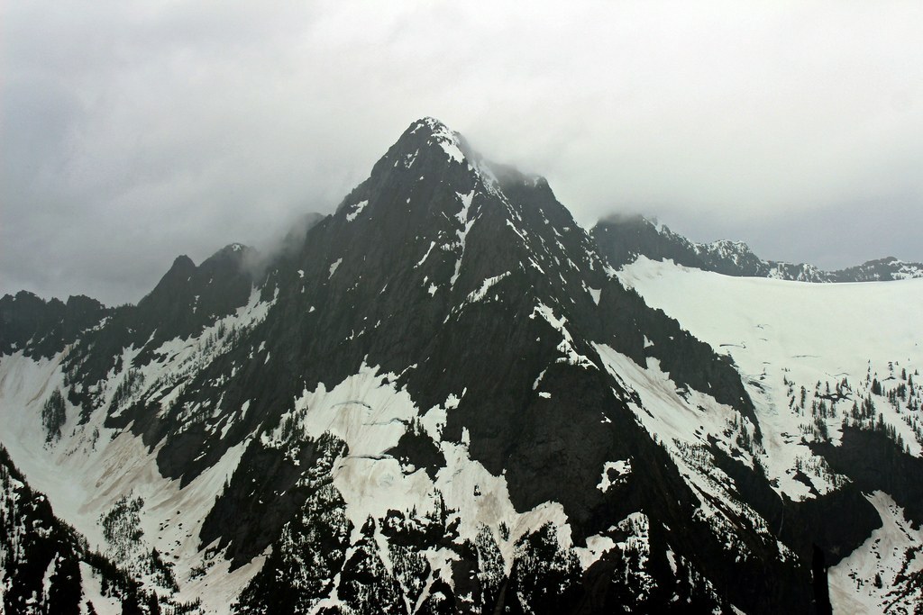

A scramble to a wooded summit near Barlow Pass. Climbing experience and route-finding skills required.
St'auk Mountain

-
 Highest Point
- 4,715 feet
The Mountain Loop Highway is closed between Deer Creek and Bedal Campground for the winter season.
A scramble to a wooded summit near Barlow Pass. Climbing experience and route-finding skills required.
Continue reading
Hiking St'auk Mountain
St'auk Mountain
Map & Directions
 Trailhead
Before You Go
The Mountain Loop Highway is closed between Deer Creek and Bedal Campground for the winter season.
WTA Pro Tip: Save a copy of our directions before you leave! App-based driving directions aren't always accurate and data connections may be unreliable as you drive to the trailhead.


