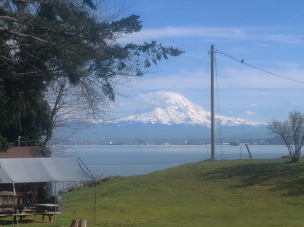

Sunrise Beach Park provides visitors with 82 acres of forest and shoreline to explore. There are picnic tables for a picnic in the park, and from the shores of the park, you'll be able to get views of Mount Rainier, Vashon Island and the rest of the Puget Sound on a clear day.
Sunrise Beach Park

-
 Length
- 2.0 miles of trails
This 82-acre park sits right on the water, providing visitors with nearly half a mile of shoreline and 2 miles of trails.
Continue reading
Hiking Sunrise Beach Park
Sunrise Beach Park
Map & Directions
 Trailhead
Before You Go
WTA Pro Tip: Save a copy of our directions before you leave! App-based driving directions aren't always accurate and data connections may be unreliable as you drive to the trailhead.
Getting There
From Gig Harbor, head north on Harborview Drive. Turn right on Vernhardson Street. In a quarter mile, turn left onto Crescent Valley Drive NW. In half a mile, turn right onto Drummond Drive NW. Turn right at where the road ends at a junction onto Moller Drive NW. Turn left shortly after onto Sunset Beach Drive NW, and the parking lot will soon be on your left.
There are portable toilets for use at the park.


