
A scramble and climbing route to the summit of a mountain in the Olympic range. Climbing gear and expertise required.
The trail to the summit of the Brothers winds through classic old growth trees, a signature feature of the Olympic Peninsula, to a large, calm lake dotted with campsites.
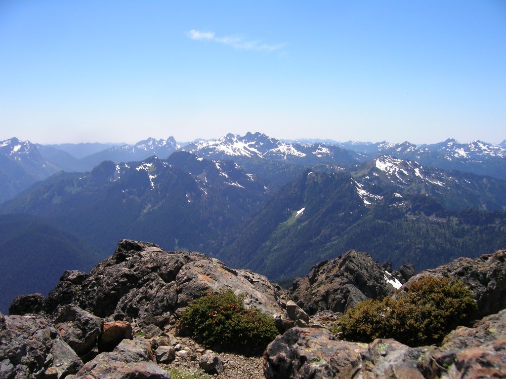
Past Lena Lake, the trail winds through a remote forested canyon called the Valley of the Silent Men. Trees stand like sentinels here. A small stream runs through the canyon, giving a burbling soundtrack to the silent surroundings. Beyond the Valley of the Silent Men, the trail becomes overgrown and rugged, as it becomes a climber's trail to the summit of the twin-peaked mountain.
In 1856, surveyor George Davidson named the twin-peaked mountain after the Fauntleroy brothers. While many know the mountain as "The Brothers", a less-well-known fact is that the peaks each have their own name. Edward is the south peak and Arthur is the north.
Additionally, nearby Mounts Ellinor and Constance were named after Edward and Arthur's sisters. Ellinor was engaged to Davidson when he named the peaks in this area.
The Brothers

-
 Length
- 18.0 miles, roundtrip
-
 Elevation Gain
- 6,050 feet
-
 Highest Point
- 6,866 feet
A scramble and climbing route to the summit of a mountain in the Olympic range. Climbing gear and expertise required.
Continue reading
Hiking The Brothers

WTA worked here in 2025, 2024, 2023, 2022 and 2021!
Map & Directions
 Trailhead
Before You Go
Parking Pass/Entry Fee
Northwest Forest PassWTA Pro Tip: Save a copy of our directions before you leave! App-based driving directions aren't always accurate and data connections may be unreliable as you drive to the trailhead.
Getting There
From Hoodsport, drive travel north on Hwy 101 for 14 miles. Make a left onto Hamma Hamma River Road at milepost 318. Continue for 7.5 paved miles to the trailhead. A privy is available at the large trailhead, that can accomodate 30 cars. Keep in mind that the parking flanks an active road, so if you must park across the road from the trailhead, look both ways before crossing!


