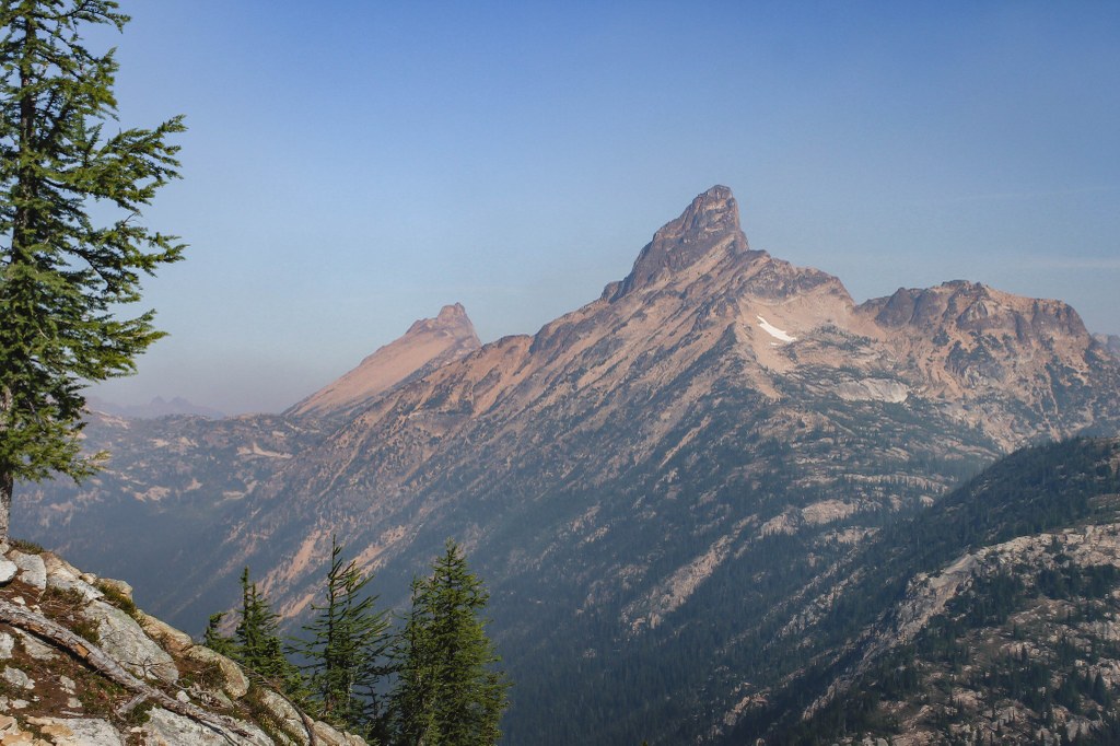

The route to Tower Mountain is a Class 3 and involved exposed scrambling. Gear and experience recommended. Tower Mountain can be reached via the Cutthroat Pass Trailhead.
Tower Mountain

-
 Length
- 25.0 miles, roundtrip
-
 Highest Point
- 8,444 feet
The route to Tower Mountain is a Class 3 and involved exposed scrambling. Gear and experience recommended.
Continue reading
Hiking Tower Mountain
Tower Mountain
Map & Directions
 Trailhead
Before You Go
WTA Pro Tip: Save a copy of our directions before you leave! App-based driving directions aren't always accurate and data connections may be unreliable as you drive to the trailhead.


