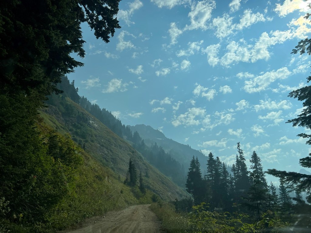

The trail to Twin Lakes is actually an extremely rough forest road that is, in theory, driveable for high-clearance vehicles. If you elect to drive it, you'll have immediate access to the trails to Winchester Lookout, High Pass and Silesia Creek. If you park at the Yellow Aster Butte Trailhead (a popular option, which makes parking difficult on nice days), you have a 2.5 mile road walk to arrive at the lakes.
Twin Lakes (North Cascades)

Parking Pass/Entry Fee
Northwest Forest Pass
The trail to Twin Lakes is actually an extremely rough forest road that is, in theory, driveable for high-clearance vehicles. If you elect to drive it, you'll have immediate access to the trails to Winchester Lookout, High Pass and Silesia Creek. If you park at the Yellow Aster Butte Trailhead (a popular option, which makes parking difficult on nice days), you have a 2.5 mile road walk to arrive at the lakes.
Continue reading
Hiking Twin Lakes (North Cascades)

WTA worked here in 2022, 2013 and 2012!
Twin Lakes (North Cascades)
Map & Directions
 Trailhead
Before You Go
Parking Pass/Entry Fee
Northwest Forest PassWTA Pro Tip: Save a copy of our directions before you leave! App-based driving directions aren't always accurate and data connections may be unreliable as you drive to the trailhead.
Getting There
From Bellingham take exit 255 off of I-5 and drive east on Highway 542 (the Mount Baker Highway) to the town of Glacier, then continue east an additional 12.8 miles. At a highway maintenance shed there is a sign that says: "Tomyhoi Trail 5, Twin Lakes 7". Turn left onto the road, designated Road 3065. Drive 4.5 miles to the Tomyhoi Lake trail sign (the Yellow Aster Butte Trailhead).
Drivers will need a high clearance vehicle to continue past this to Twin Lakes. Many people opt to park here and walk up the road the remaining 2.5 miles.


