Trails for everyone, forever

Home Go Hiking Hiking Guide Volcanic Neck

Alert: On Oct. 1 the federal government began a partial shutdown that will impact National Parks, National Wildlife Refuges and U.S. Forest Service lands in Washington. Here's the latest information we have for hikers and campers


Volcanic Neck

Snoqualmie Region > Salmon La Sac/Teanaway
47.3900, -120.8724 Map & Directions
Stuart Range behind Volcanic Neck. Photo by jrod. Full-size image
Saved to My Backpack
Rating
0.00 out of 5

(0 votes) Log in to rate

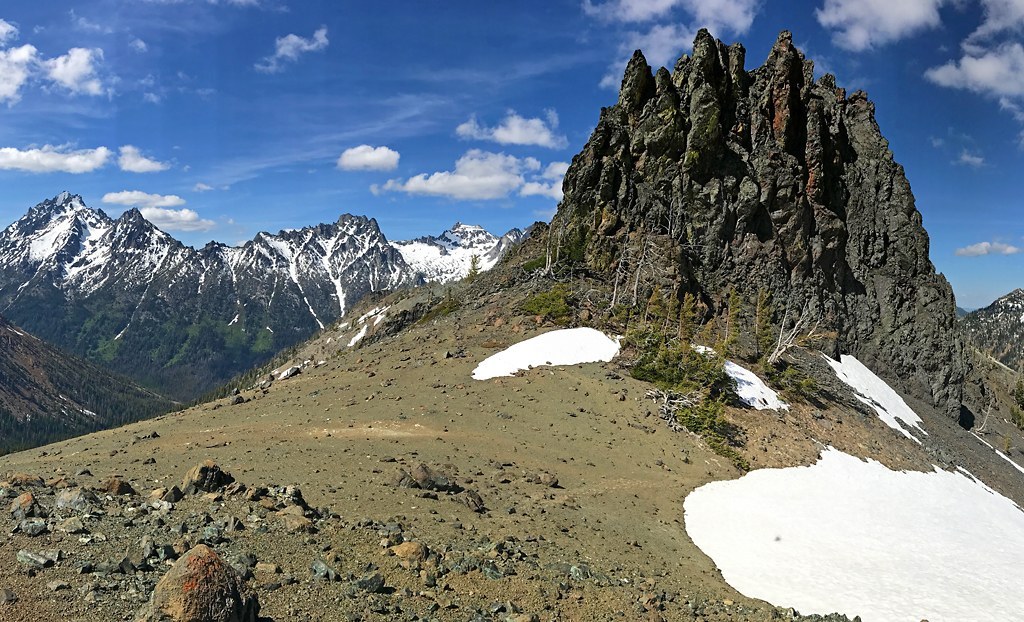
Hiking Volcanic Neck

Volcanic Neck

Map & Directions

Trailhead
Co-ordinates: 47.3900, -120.8724 Open in Google Maps

Before You Go

See weather forecast

WTA Pro Tip: Save a copy of our directions before you leave! App-based driving directions aren't always accurate and data connections may be unreliable as you drive to the trailhead.

More Hike Details

Trailhead

Snoqualmie Region > Salmon La Sac/Teanaway

Okanogan-Wenatchee National Forest, Cle Elum Ranger District

You can improve or add to this guidebook entry!

Volcanic Neck

34 Trip Reports

Hiked here recently?

Submit a trip report!
 
Trip Reports