Trails for everyone, forever

Home Go Hiking Hiking Guide Weatherwax Trail
WTA is a nonprofit that needs you

We're just as excited as you to get the summer hiking season started. We're psyched our website, app and work for trails help you get outside.

But we're a nonprofit that runs on donations from regular people. If everyone who visited this site this holiday weekend donated $9/month, it would fully fund our work for the next 2 years. Time spent outdoors is priceless, but every donation large or small helps us support those experiences for everyone. Thank you and happy hiking!


Please take 2 minS to chip in $9

link

Weatherwax Trail

Olympic Peninsula > Pacific Coast
46.9847, -124.1508 Map & Directions
Length
1.2 miles, roundtrip
Weatherwax Trailhead. Photo by phlim89. Full-size image
  • Dogs allowed on leash
  • Wildlife
  • Good for kids
  • Lakes

Parking Pass/Entry Fee

None
Saved to My Backpack

This loop trail winds through the coastal forest of the Weatherwax Preserve and skirts along the edge of Duck Lake, an important wetland ecosystem. Continue reading

Rating
5.00 out of 5

(2 votes) Log in to rate

Hiking Weatherwax Trail

This loop trail winds through the coastal forest of the Weatherwax Preserve and skirts along the edge of Duck Lake, an important wetland ecosystem. This preserve exists because of the efforts of devoted stewards and community members who fought to save it from development. The result is a beautiful forest that is home to an abundance of wildlife and plant life. 

The way is relatively flat so it’s a great spot for families and for young kids to experience the joys of the outdoors. The trailhead has parking for about 6 cars and there are no restrooms.
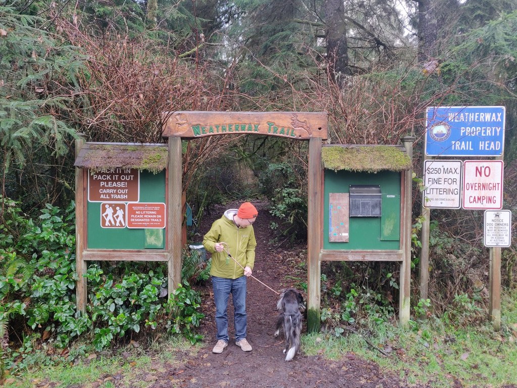


Hike Description Written by
Multiple authors contributed to this report, WTA Community

Weatherwax Trail

Map & Directions

Trailhead
Co-ordinates: 46.9847, -124.1508 Open in Google Maps

Before You Go

See weather forecast

Parking Pass/Entry Fee

None

WTA Pro Tip: Save a copy of our directions before you leave! App-based driving directions aren't always accurate and data connections may be unreliable as you drive to the trailhead.

Getting There

From Aberdeen, head west on WA-109 for 15 miles, then turn left onto SR 115 for 2.3 miles. Turn left onto Point Brown Ave for 2.3 miles. Turn left onto Ocean Lake Way for about o.3 mile, then turn right onto Overlake St. After a few hundred feet, the park entrance will be on your right. Park in the gravel pullout on the side of the road and find the wooden arch with signboards that marks the start of the trail. Parking for about 6 cars. No restrooms. 

Take Transit:

Grays Harbor Transit routes 60 and 161 stop near the intersection of Ocean Shores Blvd. and Ocean Lake Way, which is 0.8 mile from the trailhead.


More Hike Details

Trailhead

Olympic Peninsula > Pacific Coast

City of Ocean Shores

You can improve or add to this guidebook entry!

Weatherwax Trail

10 Trip Reports

Hiked here recently?

Submit a trip report!
 
Trip Reports