Trails for everyone, forever

Home Go Hiking Hiking Guide Yesler Swamp

Yesler Swamp

Puget Sound and Islands > Seattle-Tacoma Area
47.6580, -122.2886 Map & Directions
Length
0.6 miles, roundtrip
Elevation Gain
15 feet
Highest Point
35 feet
Calculated Difficulty About Calculated Difficulty
Easy
There's great birdwatching at Yesler Swamp. Photo by Austin Smith. Full-size image
  • Dogs allowed on leash
  • Good for kids
  • Lakes
  • Wildlife

Parking Pass/Entry Fee

None
Saved to My Backpack

A boardwalk winds through a literal swamp tucked into the shoreline of Lake Washington. Several viewing spots make for excellent birdwatching. Continue reading

Rating
0.00 out of 5

(0 votes) Log in to rate

Hiking Yesler Swamp

Departing from the eastern end of the Center for Urban Horticulture’s parking lot a signed trail descends to the boardwalk. Please use caution, as the boardwalk gets very slick when wet. 

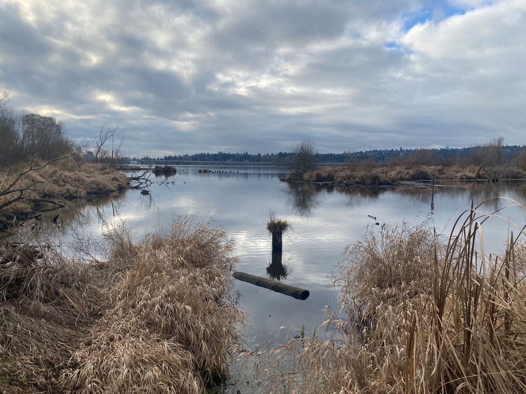
This half-mile trail makes a loop through this riparian/swampy area. A second entrance exists on the southeast corner of the loop going out to Surber Drive NE. Approximately halfway around this loop, there are two viewing areas that are excellent for their views of Lake Washington. 

In season, everything from bald eagles, kingfishers or Cooper's hawks to a host of songbirds or swans may be seen here. Frequently, birdwatchers with their scopes may be found here. Some may even help you identify and learn. Keeping your eyes a little bit lower, you may also see beavers and muskrats. 

Extending your hike

Link this trail with the Union Bay Nature Preserve, Foster Island, Washington Park Arboretum and the Lake Washington Ship Canal Waterside Trail for a much longer outing.

Toilet Information

  • No toilet at trailhead

More information about toilets

Wheelchair Accessibility

The initial access from the parking area is ~75 feet of ⅝-inch gravel and well-packed. 

Hike Description Written by
Austin Smith, WTA Correspondent

Yesler Swamp

Map & Directions

Trailhead
Co-ordinates: 47.6580, -122.2886 Open in Google Maps

Before You Go

See weather forecast

Parking Pass/Entry Fee

None

WTA Pro Tip: Save a copy of our directions before you leave! App-based driving directions aren't always accurate and data connections may be unreliable as you drive to the trailhead.

Getting There

From the Montlake Bridge, follow Montlake Ave (SR 513) north towards University Village. As this road angles eastward, you will pass U Village. After passing the University of Washington ballfields, turn right onto Mary Gates Memorial Drive NE at a traffic light. Drive about 200 yards and the road bears left. The Urban Horticultural Center will be immediately on your right. Enter their parking lot through the second entrance (towards the east). The trailhead will be immediately on the left. 

More Hike Details

Trailhead

Puget Sound and Islands > Seattle-Tacoma Area

University of Washington

You can improve or add to this guidebook entry!

Yesler Swamp

1 Trip Report

Hiked here recently?

Submit a trip report!
 
Loading trip reports...
Trip Reports