

Trails offer many different experiences to all types of users. This tail is no different. It can be a colorful place to avoid on boating days, it can be a wonderful short trail for youngsters to explore, or it can be a link in a much larger and longer network of trails in and around the University of Washington Campus.
The Ship Canal Trail itself is short half mile. It follows the southern shoreline of the Montlake Cut. This waterway, which extends from Lake Washington to the Puget Sound, was created in the early 20th century as a transport route for commerce. Today this waterway is more often than not an avenue for pleasure craft or annually the dramatic final 500 yards of the racing shell’s 2000-yard race.
Whether this trail is approached from the east or west, parking may be difficult. There is little public parking and the residential nature of the area calls for due respect be given to the neighborhood. From the east (at the corner of E Shelby and E Park Drive) the trail abuts the canal immediately. A totem pole, built by the Haida Chief John Dewey Wallace in 1937, greets all visitors.
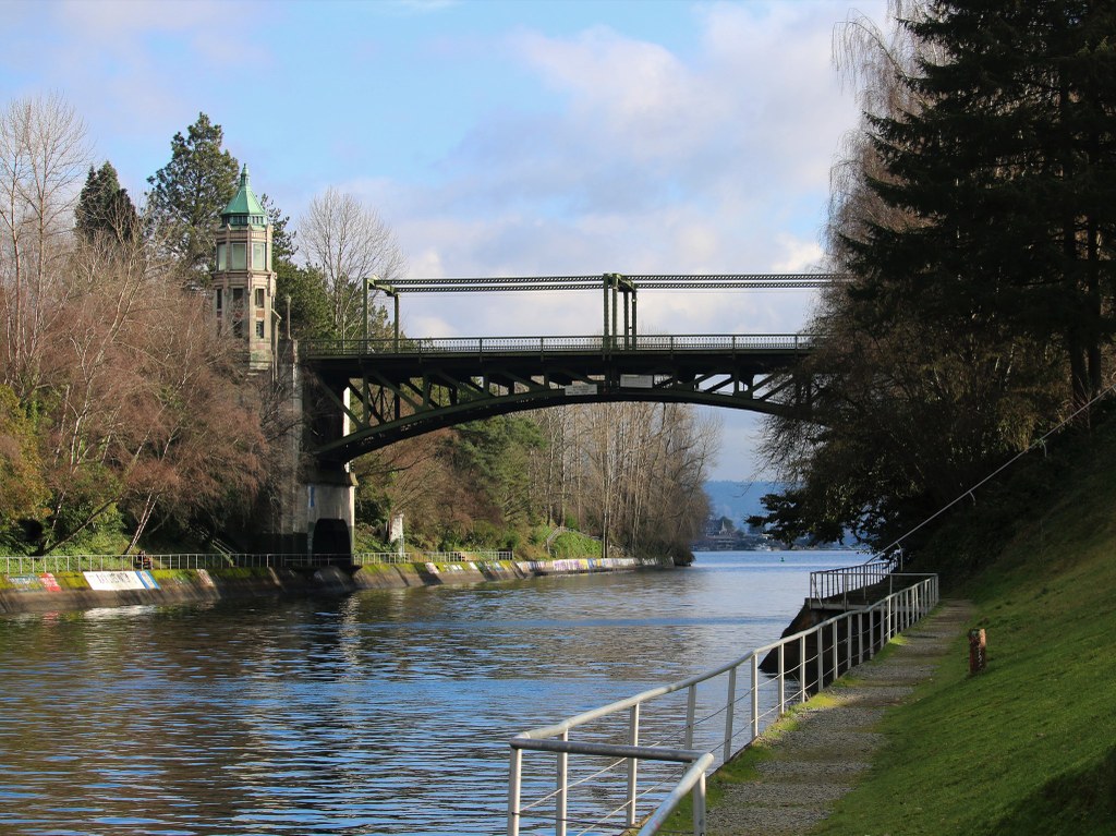
There are two trails at times but certainly no risk of getting lost. Just double back if you are unable to continue west along the shoreline. As you approach the bridge keep an eye on younger party members as there two steep staircases. The old Montlake bridge looms well overhead.
This double-leaf bascule bridge is 344 feet long and has 46 feet of clearance. The metal grating provides ominous, and to some, scary sound effects from above. The trail tortuously winds around the bridge’s balustrades right at the shoreline. It is really quite dramatic.
Once through the confines of the bridge the scenery opens significantly on the western end. There is ample grassy fields to relax upon. Portage Bay, busy with kayaks, yachts, industrial boating commerce is forever entertaining.
WTA Pro Tip: For those looking for long urban hikes, this short trail can be a link in a much longer chain. The eastern end abuts the Foster and Marsh Island trail, which itself connects to the Washington Arboretum. If a hiker takes the staircase on the eastside of the bridge, crosses the bridge, and then immediately turns right along the north side of the cut, they will find themselves on the East Campus Bike Path. By keeping close to the water this will intersect with the Union Nature Preserve and it’s trail systems including Yesler Swamp. By linking all of these trail segments together, a 10-mile round trip hike is possible with minimal pavement.
Watch for an eagle nesting high in the cottonwoods at the eastern end of the trail. It is active in late winter through early summer most years.
 Trailhead


