The Green Gulch Trail was fairly easy to find, despite fairly vague directions. The geocoordinates I got from WTA, and put in Google Maps, suggested I go about a mile past the parking area (maybe because of the road construction?), but a large sign on the left of the road was a clear suggestion otherwise. I only had a backtrack a couple hundred feet to park near an old school house.
The first part of the trail follows a canyon valley a couple of miles before reaching the highlands. It was a steep climb but conditions were great. There were only a couple of areas of wet terrain causing minimum inconvenience (if you can claim slightly muddy ankles as such). Judging from the dormant fauna along the trail, spring conditions are likely stunning, but may cause areas to be overgrown if not maintained.
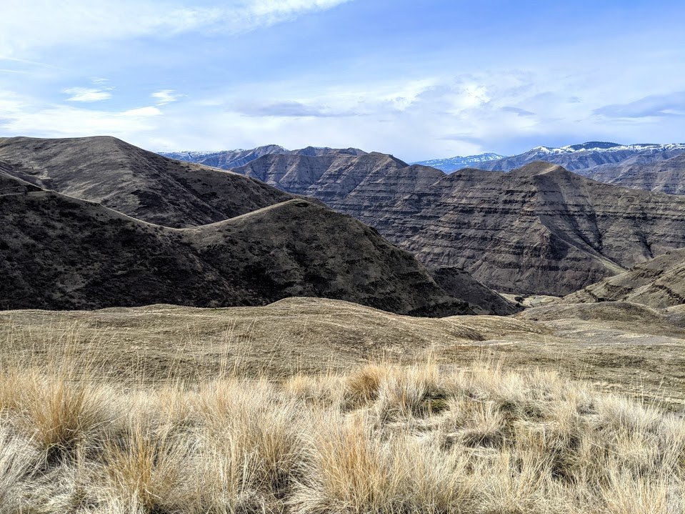
Once out of the canyon the trail opens up to large vistas with still some elevation to overcome. The trail climbs up to the first ridge and provides a wonderful view of the Grand Ronde River.
Shortly after the 4 mile mark the trail dips down into a small ravine with flowing water then to a gate. After the gate the trail splits. The route to the right climbs up a hill and peters out in at a round of rocks - which I suspect is the "correct" trail. The route to the left continues for many more miles and, judging from satellite photos, can be used to access Lime Hill.
The Green Gulch Trail is an excellent early season hike. It's also great for a leashed dog, as the road offers two lanes, one for each companion, and abundant watering holes.


Comments