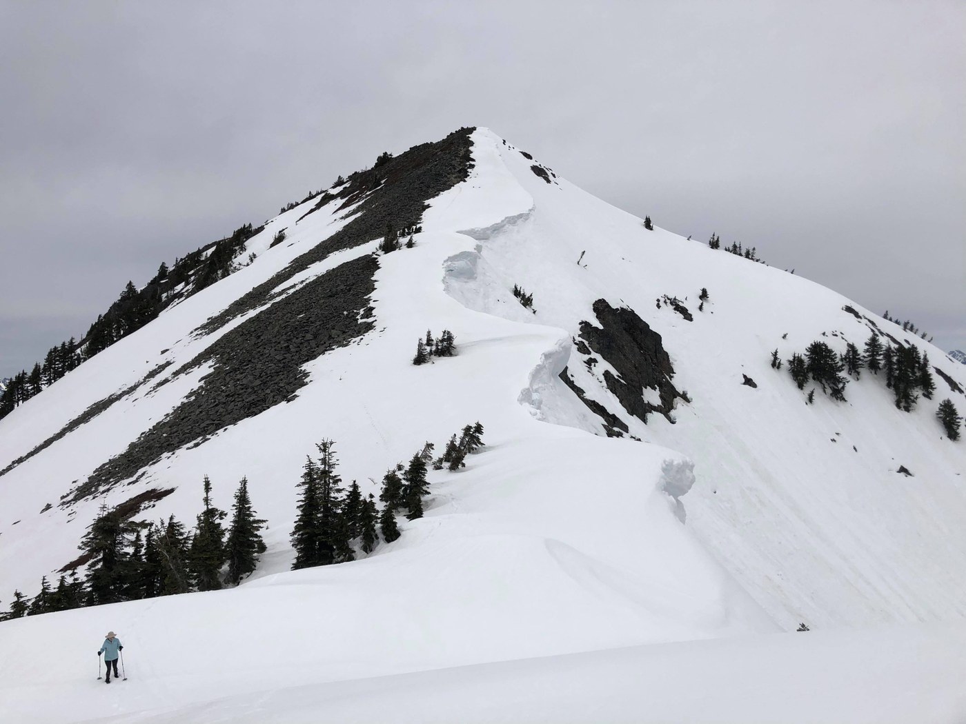
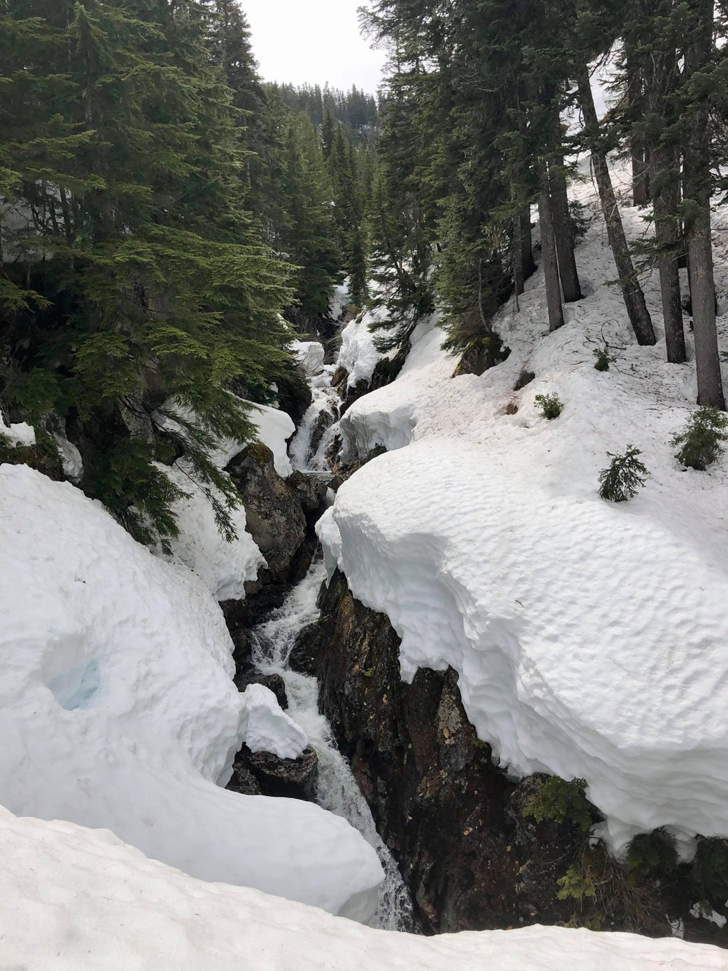
We took our preferred eastern approach from Hyak past Twin Lakes, then up the south ridge of Silver Peak. There's only ~100' on this route which is steep enough for loose wet avalanche concerns, although there are a few small stream crossings which can be difficult when there's as large a snowpack as we have currently.
We saw a cornice or other chunk of ice fall off the north face of Tinkham, while it was still early and cool. So expect the cornices on Silver to be ripe at any time of day regardless of temperature.
It dropped to freezing at 3000' the previous night, so we decided to try our luck without snowshoes. We brought our spikes, but never put them on as the snow was ideal for kicking steps. The big concern was breaking through into a tree or creek, and we postholed a few times, but overall the snow bridges are still solid, thanks in part to our route being generally shaded. We were typically sinking 3-4" through a soft top layer, so snowshoes would not have afforded much purchase. Boots were definitely the right call for these conditions.
Open areas may be melting out, but there was still easily 10 feet of snow on north faces below 4000'. Looking 15' down a creek hole is rather unnerving. But the creeks are easy to spot and mostly offer solid crossings. The creek 400' above Twin Lakes was, as always, the most interesting. Due to our warm spring, there's now a respectable overhang on the 8' wall of snow leading out of the creek. So we went up between a rock face and the snow pack, spending 5 minutes to remove snow and create steps.
We thought steep wind-blasted ice on the last 200' would prevent us from summitting, but we were pleasantly surprised when most of the south ridge near the summit had melted out, including the last 100 yards of the summer trail. So we scrambled up the rocks and enjoyed lovely views on a rather perfect overcast day.
Other than the creeks, this is a lovely hike on low-angle terrain with no surprises. We saw 2 skiers descending west from the summit as we arrived, and on our descent ran into a group of 4 hikers heading uphill on our tracks after following the PCT from the Lake Annette trailhead (somehow). It took us 4:45 to get to the summit at an easy pace, then 3:15 to descend. 12 miles round-trip, 4000' gain. See our route and tracks from the previous few seasons at the CalTopo link below.
Notes on parking: We parked in the lot at Summit East, by the Nordic Center. The lot was open, although the ski areas are still closed to hiking. In a few weeks, the beginning of FR 9070 will probably be drive-able, cutting off some distance and avoiding the ski area altogether. The Hyak Sno-Park, if it re-opens, is the preferred parking option.


Comments