
I'm exploring the less-traveled trails on the east side of the Cascades, I hiked part of the Cle Elum Ridge trail (#1326) in the Taneum Creek area. This Caltopo map, https://caltopo.com/m/4UM1 shows where I started and my out and back route is in green and red (11 miles total).
To get to where I parked (not an established trailhead), coming in on the Taneum Creek road from the east, when you see Icewater Creek Campground, reset your odometer: .3 (miles) veer right at fork.1.6 right at fork,2.7 Sharp right turn, obvious trail on west side of road (North Fork Taneum River trail), trail on east side of road is the one I took, next to a mileage info sign.
Conditions: These are all open to motorcycles which has pluses and minuses (the official season for them starts on June 15th, but both times I have been there I have seen a few preseason riders). They are all wide, they are not overgrown, and they would be easy for social distancing (the only people I saw on the trails were a pair of motorcyclists). Portions are rutted and there are often potholes (with the recent rain, these are filled with water). The beginning of the hike (green on the map) is on the North Fork Taneum Creek trail and the beginning of the Cle Elum Ridge trail. It had fairly good tread and is easy to hike. The rest of the Cle Elum Ridge Trail is in worse shape, in many areas, very muddy, huge potholes, and very rutted. These can all be walked around with a little care, but the term pig sty came to mind more than a few times. I would recommend the North Fork Taneum Creek trail. It is in much better shape than Cle Elum Ridge and was much more pleasing to my eye.
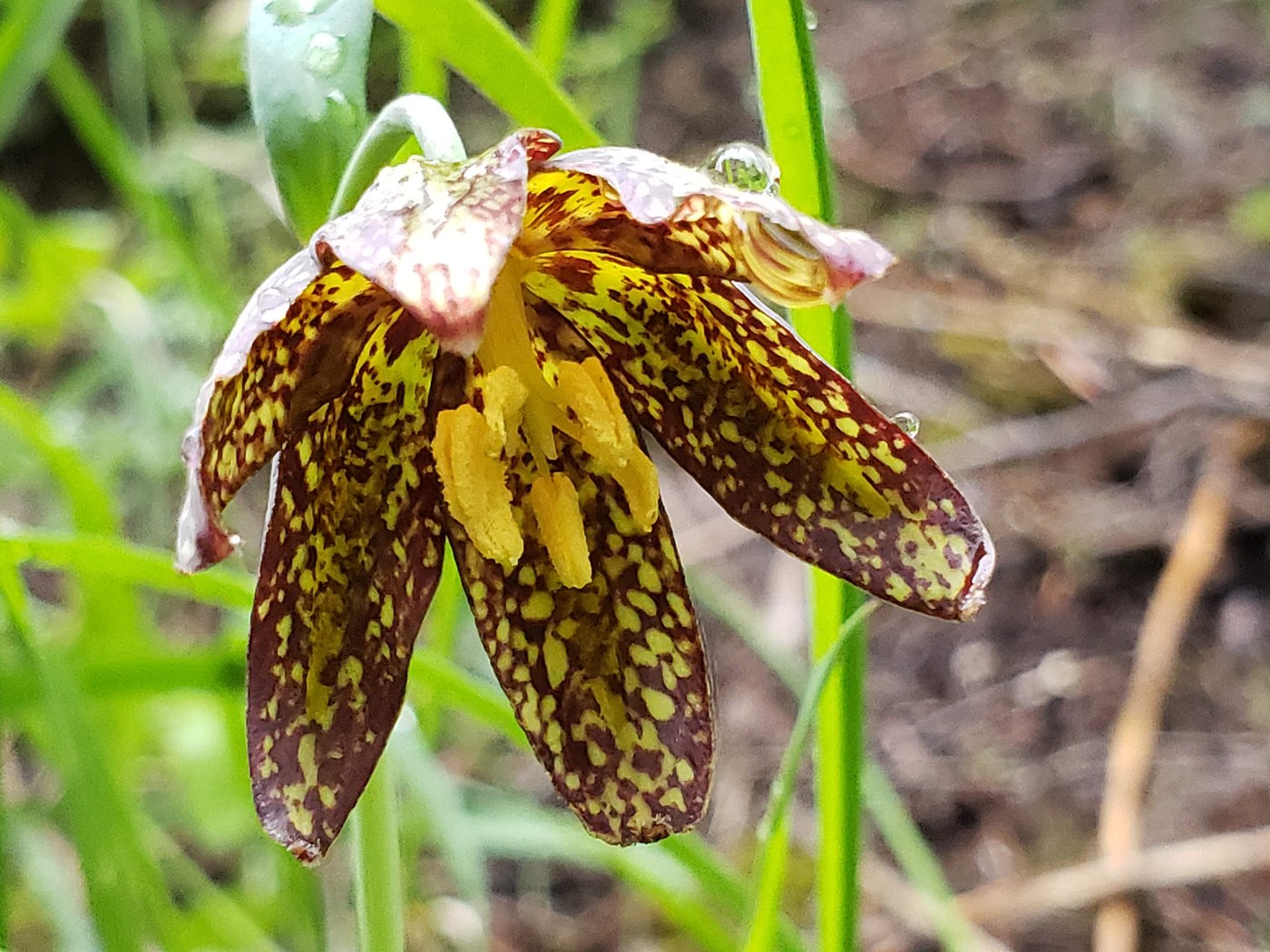
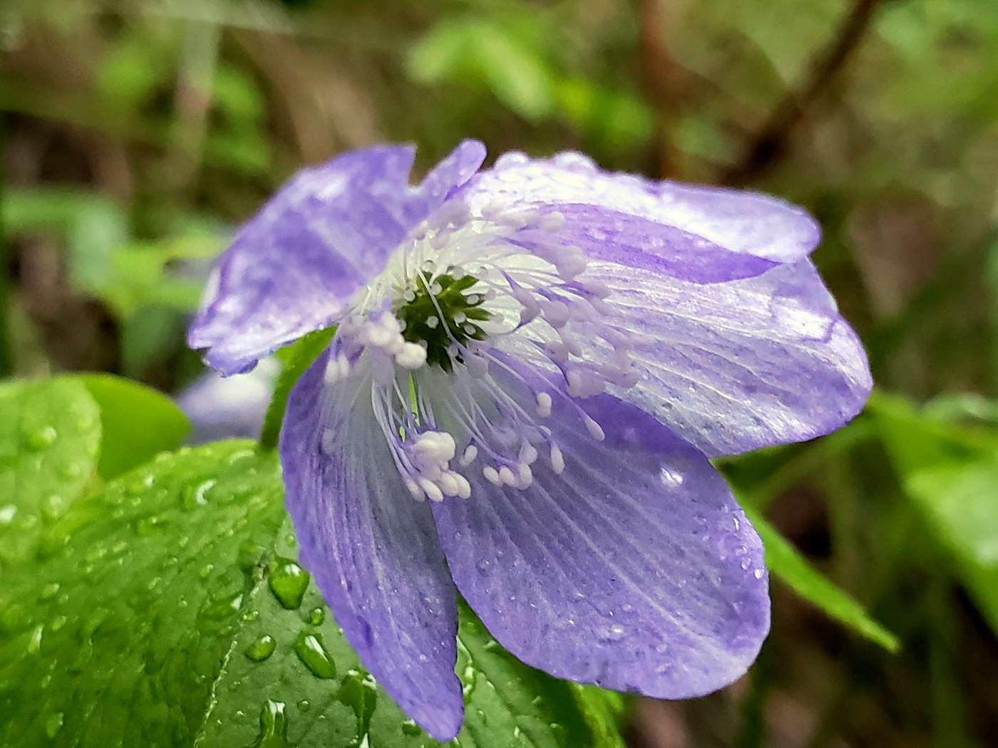
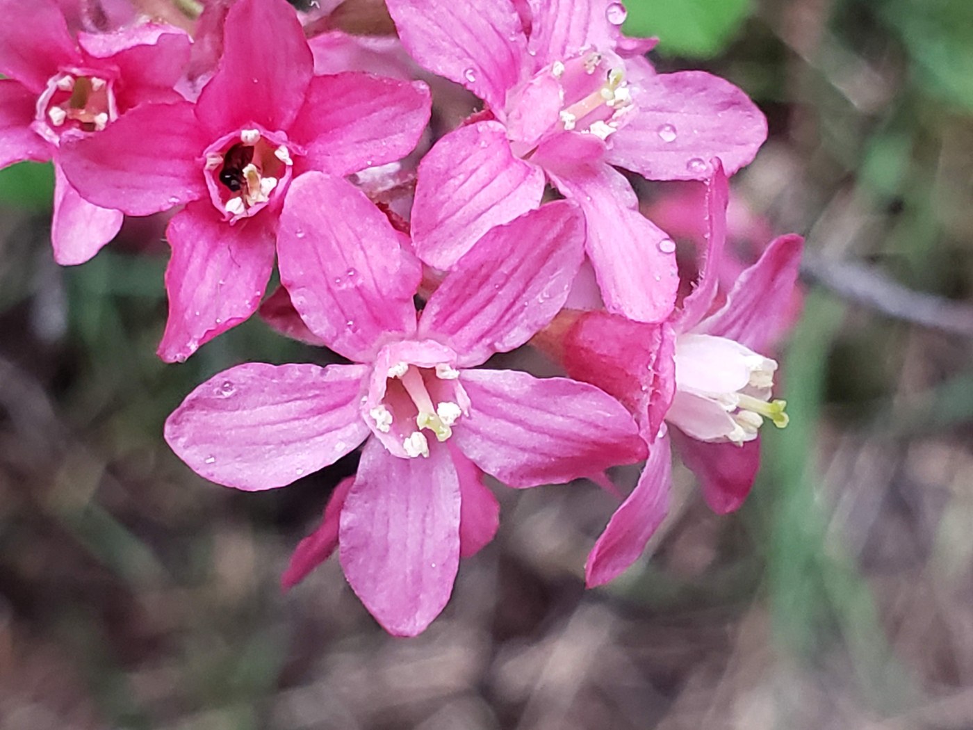
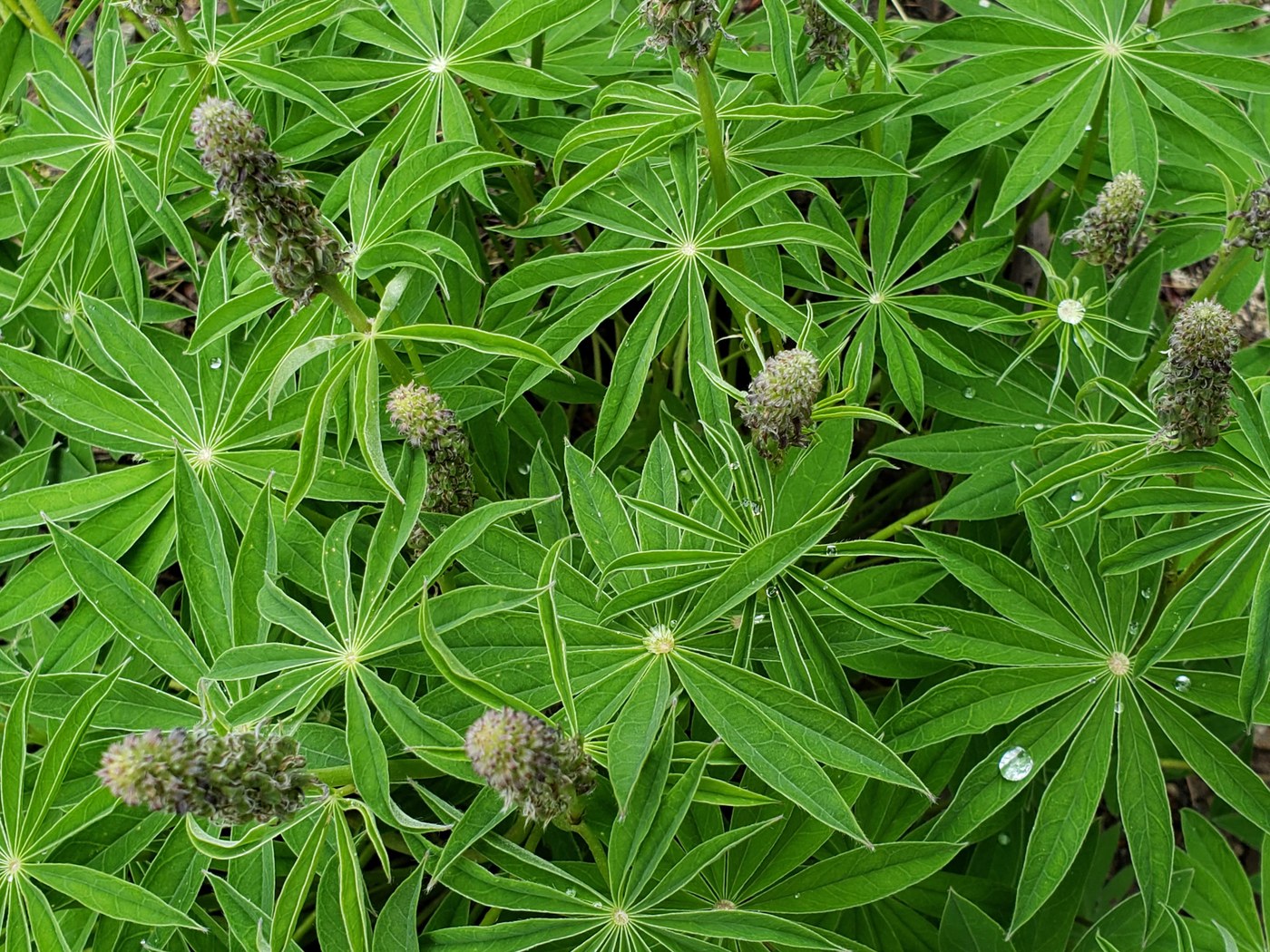
Flowers: Along the whole route there were Oregon Anemones, every time I thought I was getting tired of them, I would see another one that would strike my eye (there are so many variations in color). The green portion on Caltopo has the most variety of flowers, ballhead waterleaf, larkspur, lupine just starting to bloom, prairie stars, red (and a few orange) paintbrush, chocolate lilies (!), silvercrown (just starting to bloom), wild strawberries, red flower currant, coltsfoot, oregon grape, and more. The red portion is mostly forested and has yellow violets, strawberries, trillium, Oregon anemones, currant, silvercrown (not quite blooming), and a patch of fairyslippers (about 1.5 miles into the red portion). Towards the end of the red portion there are open hillsides that I thought might be good wildflower locations, they did not have many flowers. There are Western Larches in this area, their needles have come out and they are quite striking.
A (phone camera) photo album https://photos.app.goo.gl/7MTwmTciLNFHq72Q8
If you want to do a wildflower hike in this area, combine the green and yellow portions on the Caltopo map. It is about 8 miles, the tread isn't bad and you'll get a nice variety of flowers (from balsamroot still blooming by Icewater Creek Campground to chocolate lilies on the ridge). To learn more about the yellow portion, you can see last week's trip report 'North Fork Taneum River'.
Comments