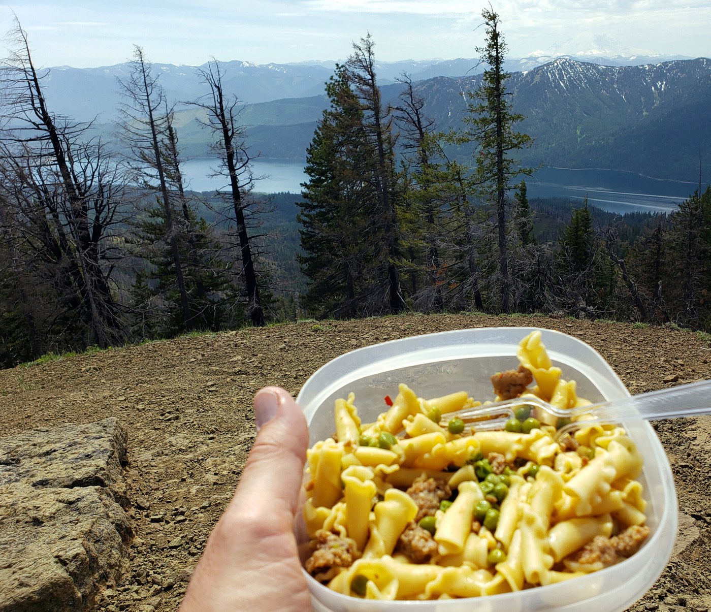
After a few hikes this month on trails closer to Seattle, it was great to get into the big mountains with their expansive views and fewer people. The direct sun made the lower half of the trail pretty hot, though a few clouds and a light breeze kept us comfortable as we got higher. The trail is consistently steep. The views from the summit, as well as the secondary summit a few hundred feet to the east, are spectacular.
Navigation is a challenge. For the main trail to Hex Mountain, I strongly recommend using an app such as AllTrails or Gaia. There are simply too many intersections to deal with and the apps make it easy. However, the way down is a different story if you take our route. We decided to take a different trail down (the Sasse Mountain Trail to the east) for variety. Here both apps failed us, as the trail did not cut across the valley and Newport Creek to the main trail as both apps clearly show, but rather continued descending until it connected with trail 4305.112 which goes down to the road a couple of miles away from where our cars were parked. Fortunately, if you descend part of the way, you come within about 500 feet of a spur that connects with the main trail, and it's easy to navigate those 500 feet off-trail. Knowing this, I'd readily go this way again. See my link below for the topo map.
Also, the trailhead is just off the Salmon La Sac Road, as described in the text directions in the Hiking Guide. But the map in the Hiking Guide mysteriously places the trailhead on a side road a mile away; I've submitted the correction, but if the map still shows the trailhead not on the main road, it's wrong.
Many flowers are out. There is no water on the trail now except a shallow stream that you cross near the end of the hike if you do the loop described above. Despite recent reports of mosquitoes, we found (or were found by) only a few flies at the summit.


Comments