
Started on FS 116 and the road goes up. No signage until you get to the trailhead, almost two miles up, but people have constructed wooden arrows at the junctions, to lead you in the correct direction.
Once on the trail, it goes straight up a ridge, with no switchbacks, through the remains of the Jolly Mountain fires. Up on top there was a pretty good wind. We could see Lake Cle Elum below is, but all the mountains were clouded in.
Type of Hike
Day hikeTrail Conditions
Trail in good conditionRoad
Road suitable for all vehiclesBugs
No bugsSnow
Snow free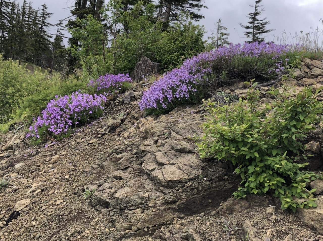


Comments