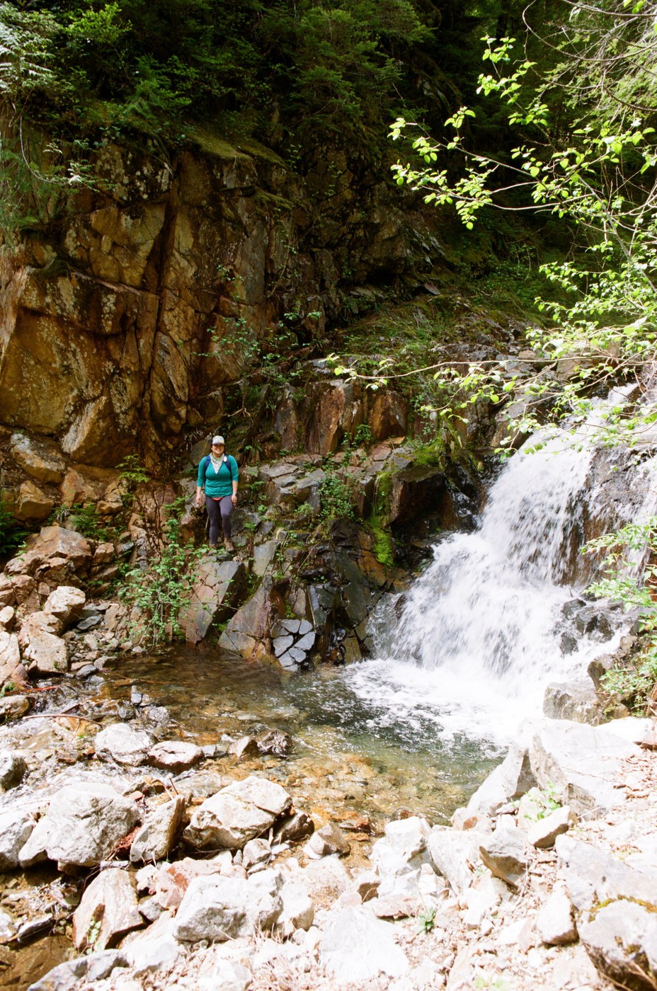
I debated on weather to write this report or not but decided the info might as well be out there since I had a heck of a time finding it. So here is the scoop: the main road (index-galena) used to access this has been washed out for some time now and looks like it will continue to be for a quite while longer. You can drive as far as you can up this road and then walk the road (this is add an extra 6 miles and change of crunch, crunch) or you can drive all the way around via jacks pass on the beckler road. This issue with the beckler road approach is there is some signage indicating that past the blanca lake turnoff it is "local travel only" I assume for the folks who or have cabins in Galena. The approach is also really really, really long on gravel and dirt. All of it is doable in a low slung car, but it will take you about an hour or more of driving depending on your speed. You also drive through the town of Galena itself this way which could make some people feel nervous. The hike itself is along silver creek, which is quite a pretty creek. There is one semi-sketchy bridge crossing than then a second one which is simply not doable or safe. The second non-doable one, people have used pink flagging to show where do descend to the creek and cross. We did not cross as we had dogs with us that would not have been able to cross but it would have been doable for a person used to stream crossings. there is a cable set up that one can grab onto. hopefully this info is helpful for anyone wondering about the current state of things up in this neck of the woods. I am hopeful hat someday the index-galena road will re-open making this more comfortably accessible to the public again.
Trip Report
Silver Creek - Mineral City — Sunday, May. 24, 2020
 Central Cascades > Stevens Pass - West
Type of Hike
Day hikeTrail Conditions
Obstacles on trail:Difficult stream crossing(s),
Bridge out.
Road
Road impassable/closedBugs
No bugsSnow
Snow free
Comments