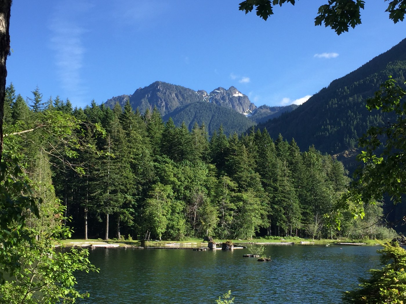
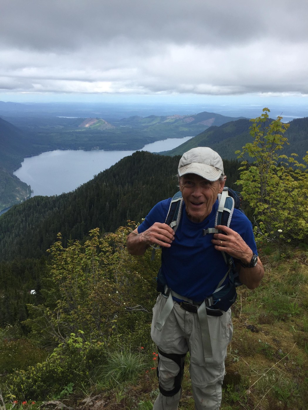
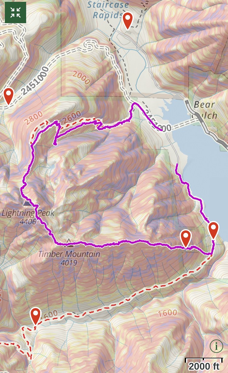
This trip report will most likely be of more interest to those who enjoy off-trail hiking. On this outing, my hiking buddy Greg and I set our sights on the summit of Timber Mountain overlooking Lake Cushman. We started at the Dry Creek trailhead which follows the west shore of the lake and offers occasional views of Mount Rose, Ellinor, and Lincoln, and a pretty trailside waterfall. We continued past a trail junction where the route swings to the right and heads up the Dry Creek drainage on an old logging road. A quarter mile uphill, we came to a large, prominent root ball sitting next to the trail draped with orange flagging. Here the surrounding terrain was open forest with low-growing Salal and Oregon grape.
Shifting to scramble mode, we departed the trail and headed uphill. Though the slope steepened quickly, we found the going fairly easy. The ground was mostly dry and traction was good. Route-finding was easy because of the open terrain which was especially nice since it was rather featureless. Occasional elk tracks appeared which were worth following when available. Mama grouse were doing daycare this day. We ran into a cute cohort on the way up. In the distance, males could be heard drumming their wings.
At around 2000', we hit a continuous rock band (not high enough to qualify as "cliff") which blocked indiscriminate passage uphill. Without too much trouble, we found our way through these and others that followed, usually through a water channel that had carved a chute.
After the first rock band, an outline of a ridge appeared and we followed it. The steepness lessened somewhat. Occasionally the forest foliage got thick enough to qualify as bushwhacking, but for the most part it was minimal. The ridge remained prominent and eventually led us directly to the eastern ridge line that descends from the summit. Here the flavor of the terrain and forest changed abruptly. The slope became quite flat and there were open, almost meadow-like sections that tempted us to think our path to the summit would be a cake-walk.
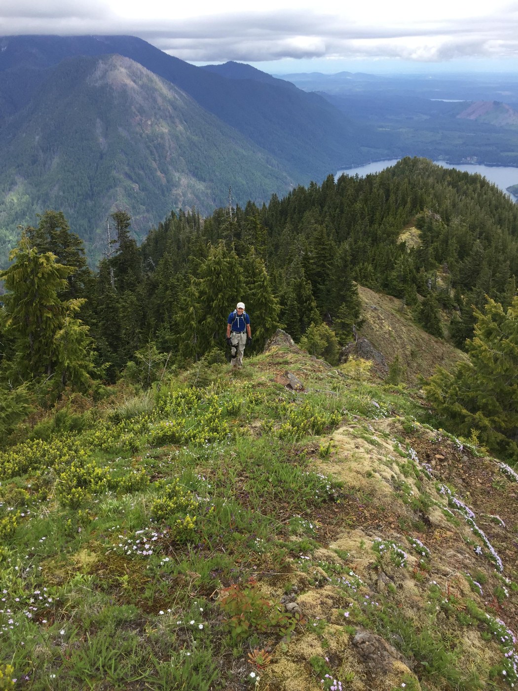
No such luck, of course. The long ridge to the summit is riddled with jagged rock, mind-numbing ups and downs, and spotty but dense vegetation. We lost count of the sub-peaks. Many of these required a side-hill, down-and-up traverse to get around, usually on the south side. We spotted maybe a dozen piles of bear scat along the ridge but saw no bruins all day. No signs of elk could be seen along the ridge.
The summit of Timber Mountain remained hidden from view until passing the last sub-peak. A short climb took us to its treeless top. It is draped with attractive meadows, much like Lightning Peak, and provides a wide and inviting area to enjoy the views of the surrounding peaks and valleys. The distant tops of Copper Mountain and Mount Lincoln were cloaked in some overcast, but we were happy with the aesthetics that nature provided all the same.
By this time we had been hiking for 6 hours and the notion of retracing our steps on the eastern ridge and down the steep slope was not appealing. As we ate our lunch and gazed towards Lightning Peak and the craggy ridge between, it seemed both daunting and irresistibly close. According to topo maps, the difference in elevation is only around 400', but the visual difference seemed much greater. Though we couldn't tell from our vantage point, there are three significant down-and-up climbs between the two. We gauged the effort required and with the clock ticking, we chose to return by Lighting Peak. Not having done the traverse before, I was half hoping for a boot path to help streamline the trek. It was not to be. Evidence suggests this area is not visited often.
The ridge line connecting Timber to Lightning was intense, mostly because we were tired, the day was slowly fading, and the route between the two was new to us. I think it was just before the second sub-peak when we were following a mellow, grassy portion of the ridge, and it abruptly ended in a huge rocky buttress which fell steeply off both sides. It would have been risky climbing straight up without protection. After studying the situation for a few minutes, we down-climbed on the south side of the ridge and rounded the corner of the buttress to find a steep but climbable chute leading to the top. The final climb to the Lightning Peak saddle was straightforward and we were soon making our way down the north-facing chute towards Copper Creek.
The top of the chute still had plenty of snow but with micro-spikes, that was an advantage because it enabled quick progress. When we hit talus halfway down, it slowed our descent, but we made it to the bottom where we finally set foot on the well-worn boot path. The remainder of our on-trail hike got progressively easier. We had to stop and fill water from Copper Creek the first chance we got since there were no water sources before that and we had consumed all of our two liters. The stats reported by my GPS were about 7 miles, 3750’ elevation gain, and an embarrassing 13 hours of hiking time.


Comments