Decided to attempt the Mt Fremont Lookout before Sunrise opened and crowds start to appear - in short, totally worth it.
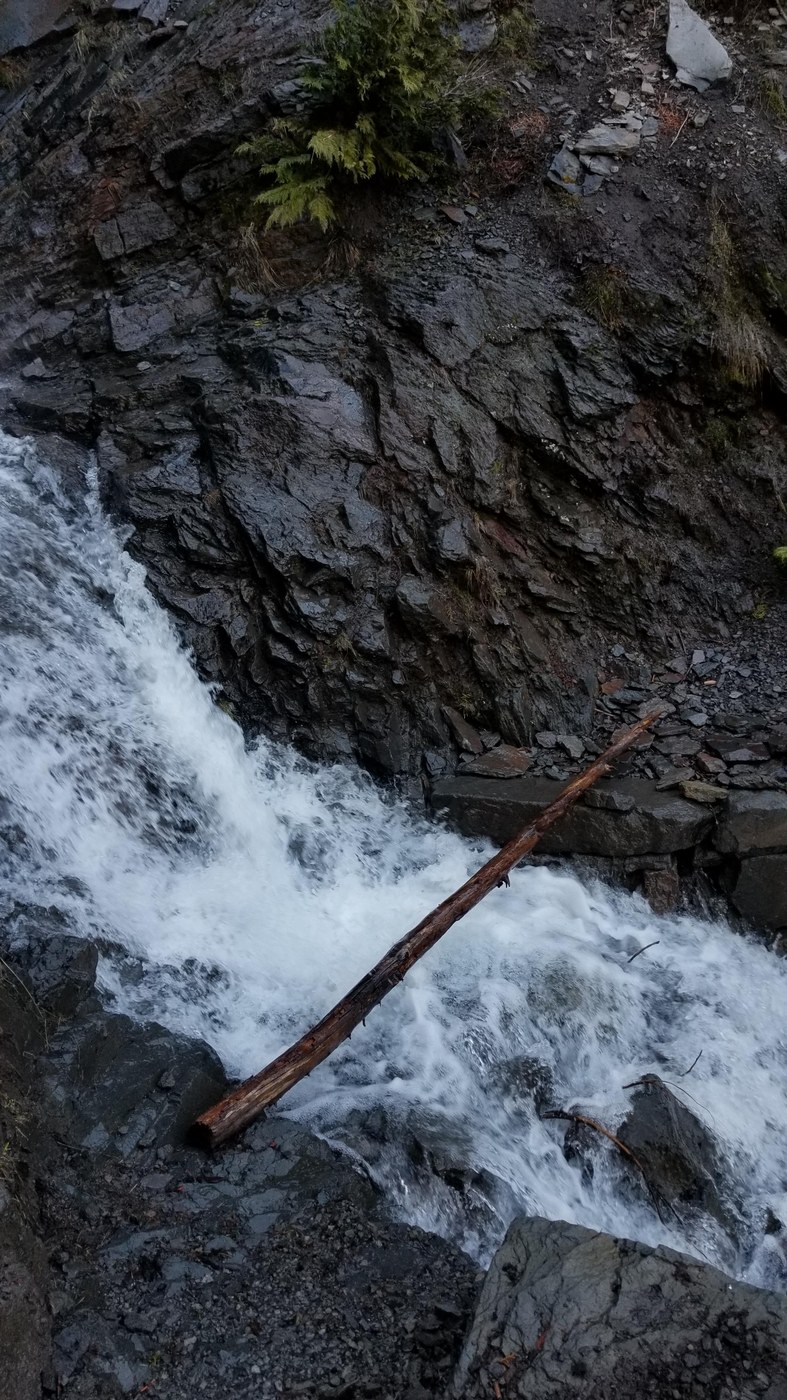
Got to the trailhead at White River Campground Parking area (since Sunrise Road is still closed) at 0700. Temp was 51F. Hit the Wonderland Trail at 0715 to take us up to the Sunrise Camp/Sunrise (visitor center) junction. This is probably the most strenuous part of the hike, as you will gain almost 2000 ft of elevation in 2.4 miles. There was a blowdown about 1.8 miles in (approx. 5614 ft elevation) that was easily skirted as end is on edge of trail. There are some patches of snow on the way to the junction, but it comes and goes; in one of the more prolonged sections, it helps to have or know the route. But always goes back to bare/clear trail eventually. There is also a pretty swift creek crossing at the bottom of some seasonal falls, which are running pretty good right now (2.1 miles in at 5820 feet). There are two logs that can help you across, but you will get damp from spray. You might be able to ford it if the logs have gotten knocked away, but that's up to you. You could probably jump across, depending on your agility/comfort.
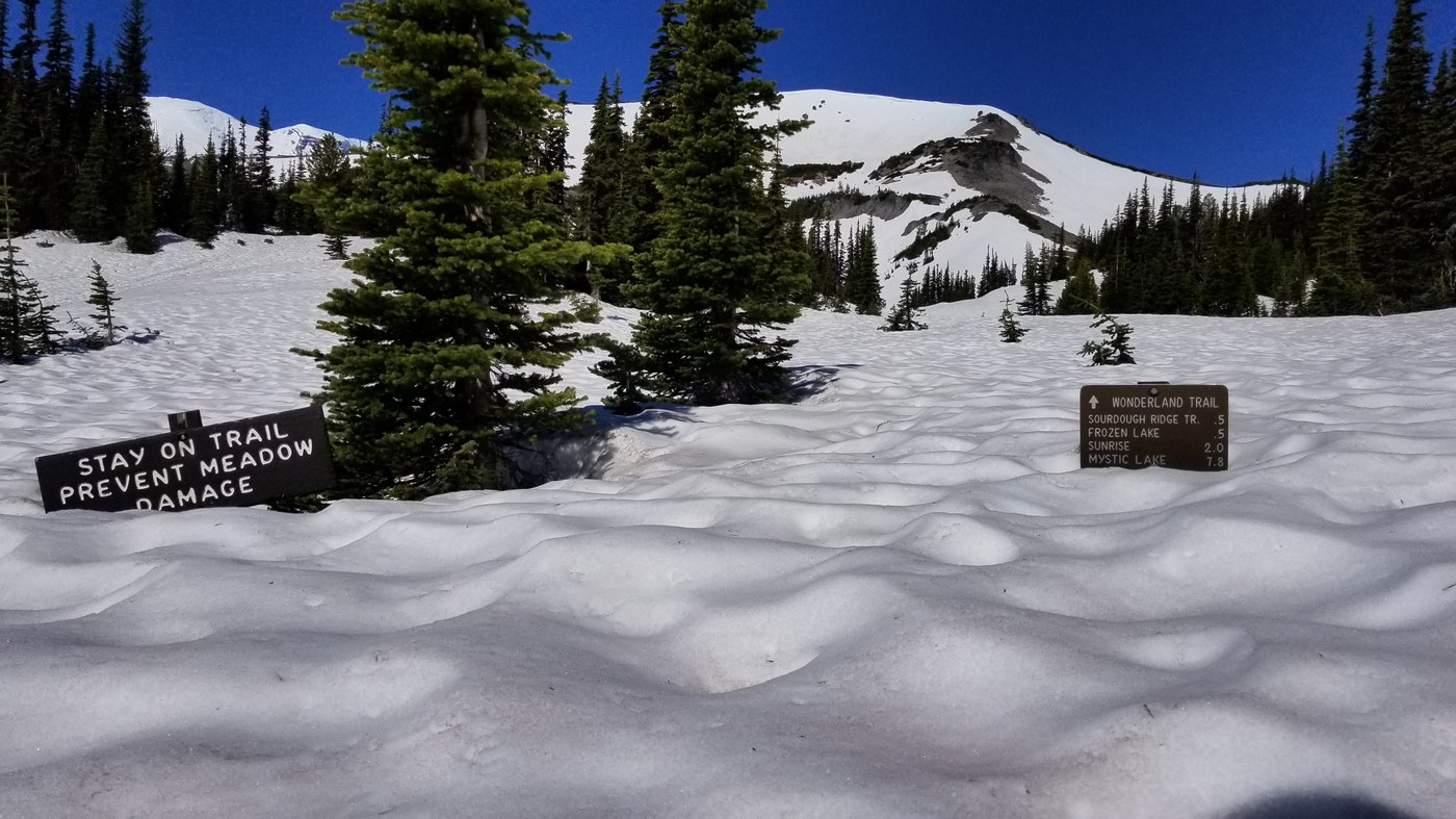
Once up to the Sunrise Camp/Sunrise junction, it's pretty well snow covered until you get up to the edge of Frozen Lake. We never donned any traction, as the snow wasn't too steep or too frozen. We started off toward Sunrise Camp, but having studied the route, with still-good snow cover, we cut up to the road/trail that lies between the Sunrise Camp and Sourdough Trail (it's not a named road/trail, but exists on all maps and takes you up to the Frozen Lake/Wonderland/Burroughs Trail junction). If still snow covered and won't damage any meadows, it will save you approximately about 1 mile of routing. But if it's melted out, please stay on the trail to protect the meadows (probably only about 1, maybe 2 weeks before that happens). There is pretty easy-to-follow bootpack once on the unnamed road/trail all the way to the Frozen Lake junction.
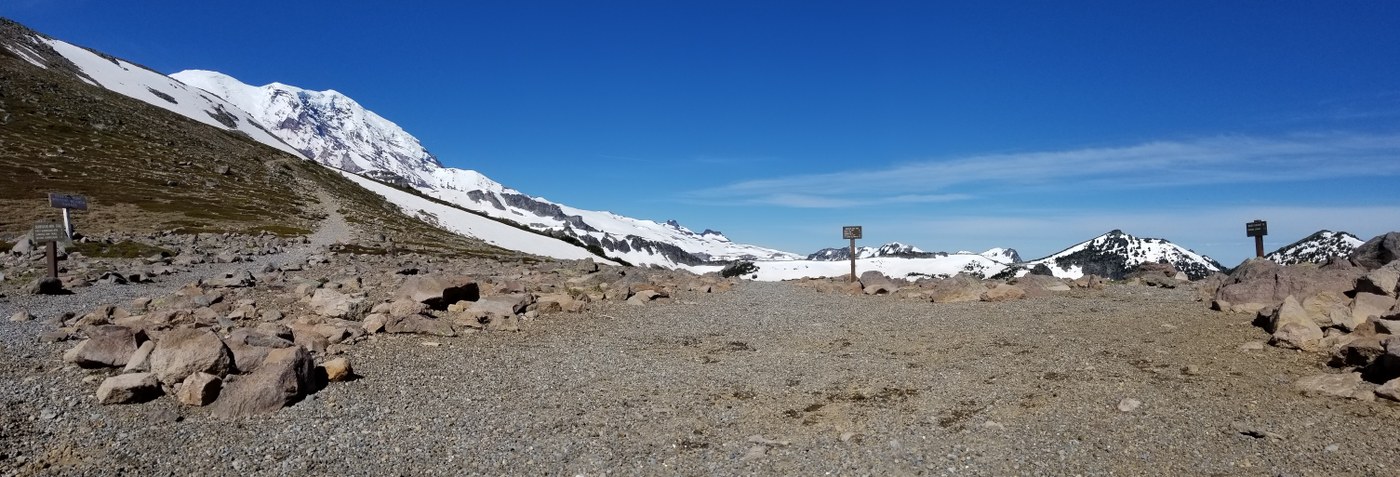
Once up to the Frozen Lake junction and making the way towards the stairs, the snow is pretty well gone. There are some soggy sections by the lake, but for the most part, it's all exposed and easy to follow trail. It was pretty warm, as there was little breeze along the traverse from Frozen Lake to the Lookout. Be prepared with sun protection and enough water, as there is little of either once past the lake. Also, if it's a clear day (like today), as you make the high corner between Frozen Lake and the Lookout, you can spot the top of Mt. Adams to the south - but only the tip-top of her and you have to look at the right time.
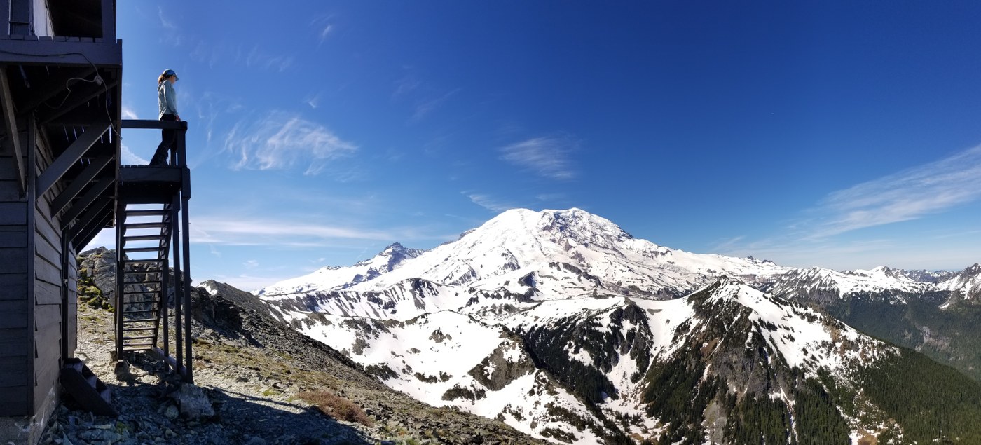
Got to the lookout around 1015. Beautiful day, with views of Tahoma (obviously), Mt. Baker, Sloan, Glacier, Stuart, the Olympics, and could even see Seattle. The falls over below Vernal Park are also flowing, which is pretty awesome to see, especially if you have binoculars - clearly lots of water with long drop, given how far away from the lookout it is (it's to the west). The lookout is currently boarded up and locked (usually locked unless manned by park employees/volunteers), but you can still go up and enjoy the views from the catwalk. Hung out for about 2 hours around the lookout, having some lunch and enjoying the superb day. Then we did some exploring around the lookout before heading down.
It was great to be able to make it up here so early, before it gets crowded with the usual summer Sunrise crowds. Only saw 3 others all day - 2 that had made their way up to the lookout about 1 hour after us, and then briefly one other person (not sure where they had been) that had already crossed the water on the lower part of the Wonderland Trail (never saw them again by the time we finished taking pictures and crossing the water).
Other G2: spotting from the lower trail and having done it in early July before, it looks like there's still some snow on the Sourdough Ridge Trail route. Boots (over sneakers) and poles would probably be helpful if you choose to go that route. Also, wildflowers are barely starting - saw a lot of avalanche lillies getting ready to open, but might be a week or two depending on the weather. Still quite a bit of snow up higher around Sunrise, so that area should bloom be later on (per usual).
By the numbers:
10.2 miles roundtrip
3192 ft elevation gain (7196 ft at lookout)
2 hours 55 minutes to top
2 hours 15 minutes down
Car to car time: 8 hours
Equipment: poles, (GPS, recommend but not necessary)
Trip Report
White River to Sunrise, Fremont Lookout — Tuesday, Jun. 23, 2020
 Mount Rainier Area > NE - Sunrise/White River


Comments