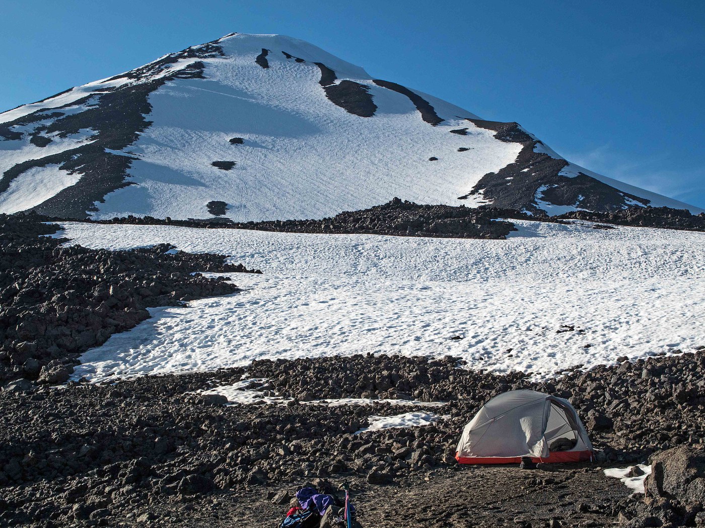
It was an oven! OK, it was only the inside of my tent, but at 9,200 ft on the Lunch Counter under a glaring sun, it felt like an oven. Rewind 24 hours... Shenon and I decided on a south side climb, it was his first time my third. We wanted to acclimatize a bit so we camped the night before at the TH (Cold Springs). We got there in the early afternoon and it was mellow, we knew it was going to get busy later, but not that busy- it was a joke. People driving in until nearly midnight, then people getting up and banging around starting at 2 AM.
We were on the trail by 6:30 AM under partly cloudy skies with a light to moderate east wind. We hit the persistent snow just above the junction of the Around the Mountain Trail, approx. 6,300 ft. The snow was firm and remained so all morning. We took the route via the South Butte but there were tracks on the west of Crescent Glacier as well and the cornice did not looking menacing from where we were. The South Butte route was very straight forward and we arrived at the Lunch Counter in the late morning. Only a few other campers around at that time. Most of the folks on the mountain that day seemed to be on day climbs.
It was hot in the tent...we wasted away the afternoon. I did mange to walk over to the east and look over from the edge of Suksdorf Ridge. There is a good sized streaming which drains the snowfields here. Back at the lunch counter, most of the camping spots are melted out or in the the process. Plenty of snow to melt and spotted a number of small rivelets if you do not want to melt for drinking water. After the heat of the day we were rewarded with a nice sunset aided by all the haze in the air.
We were off by 5:45 AM for the summit. Instead of using the bucket steps we took a more easterly route to the top of Suksdorf Ridge- we headed for the top of the crescent shaped rock formation. It took about two hours to get to the ridge but were rewarded with excellent views of the headwall of the Mazama Glacier and points east. Proceeded up the ridge and joined the bucket steps for the finally 200 ft to the point below Pikers Peak. The snow had been firm on our route, but definitely used the crampons as there were no tracks to follow.
We got into some 30 knot NW wind at this juncture, but made good time across the crater to the summit. Took the route just below the summit block as everyone else was taking the chute to the east, our route was bit steeper and got into some deeper snow at times but still fine. Great views from the top, could see all the way to the Three Sisters in the south and Alpine Lakes in the north.
Descended with undue difficulties, I tried to do some standing glissades but gave up and did a butt slide in the chutes. After packing up camp, we were able to make the descent in 1.5 hrs despite the soft snow.
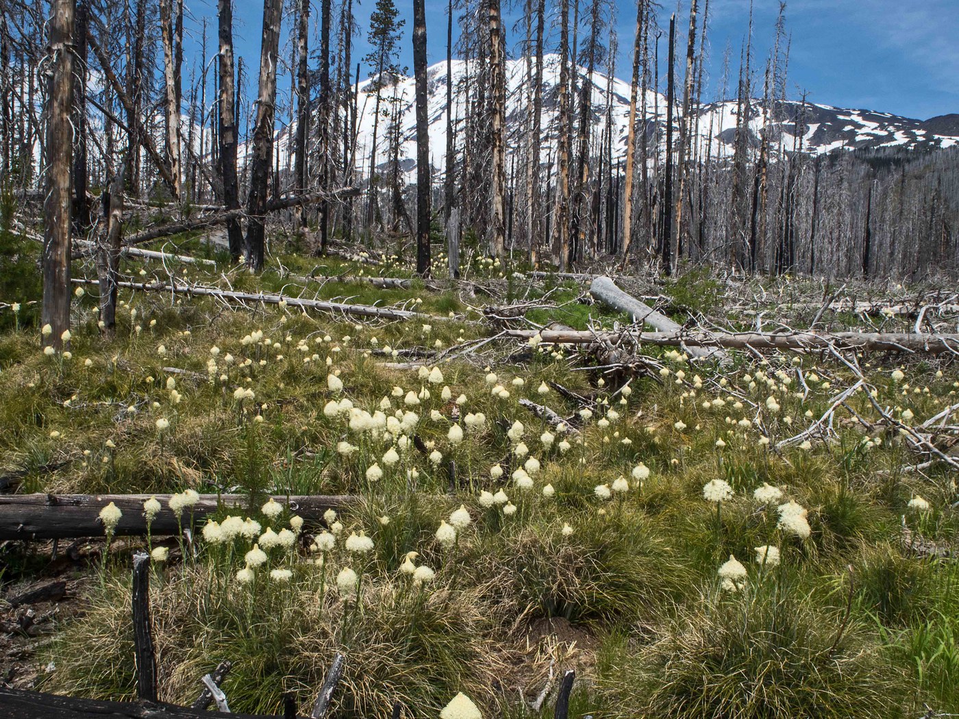
Flowers: For those of you inclined towards wildflowers here is what we saw. On the drive up the road: red columbine, yarrow (white), wallflower (yellow), skyrockets (one small pocket of these elusive guys), and thick stands of beargrass in bloom. On the trail its mainly phlox with a few lupine and one small cluster of Indian Paintbrush. Up at the Lunch Counter Pussypaws and Alpine Candytuff were eking it out.


Comments