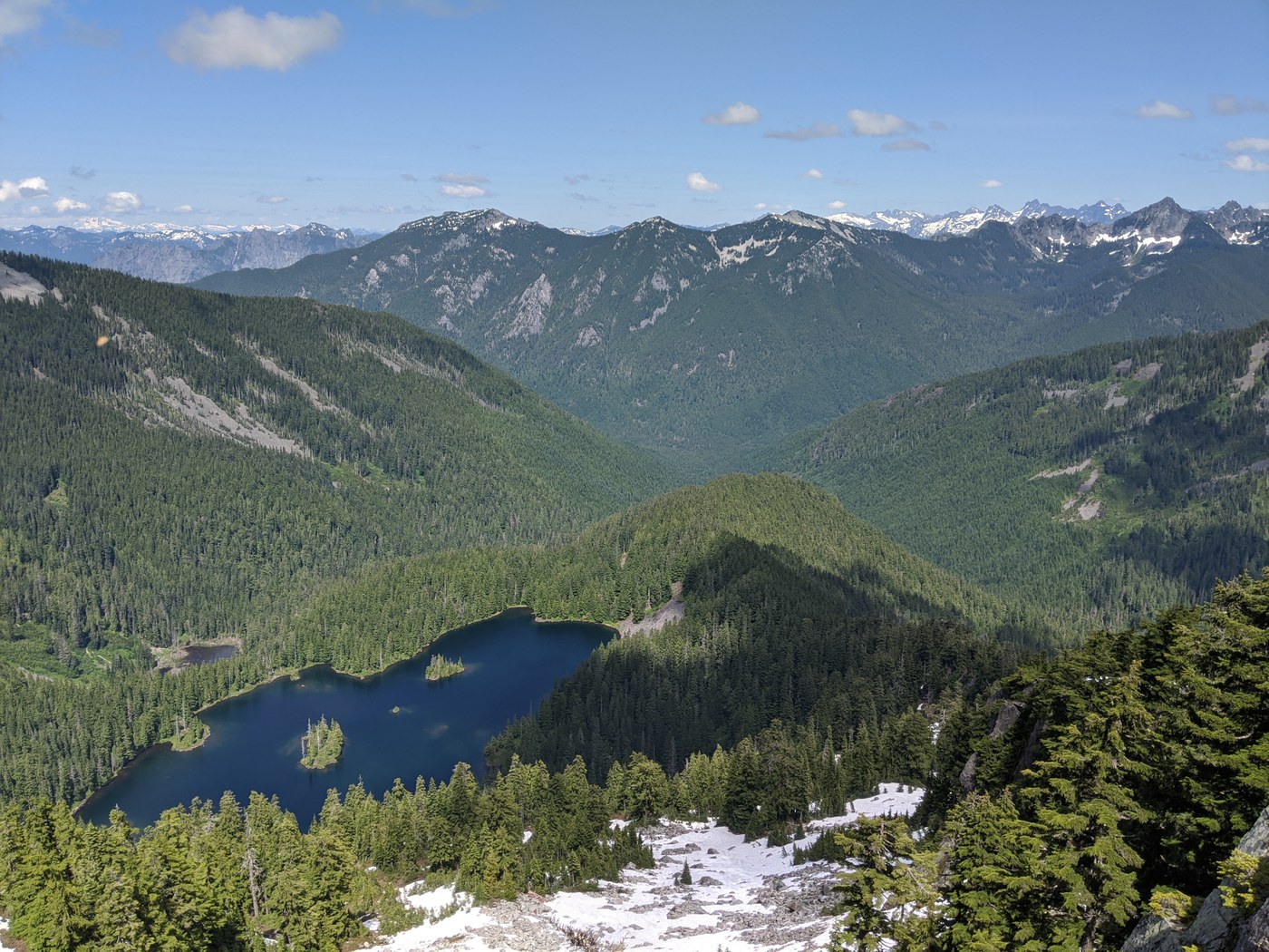
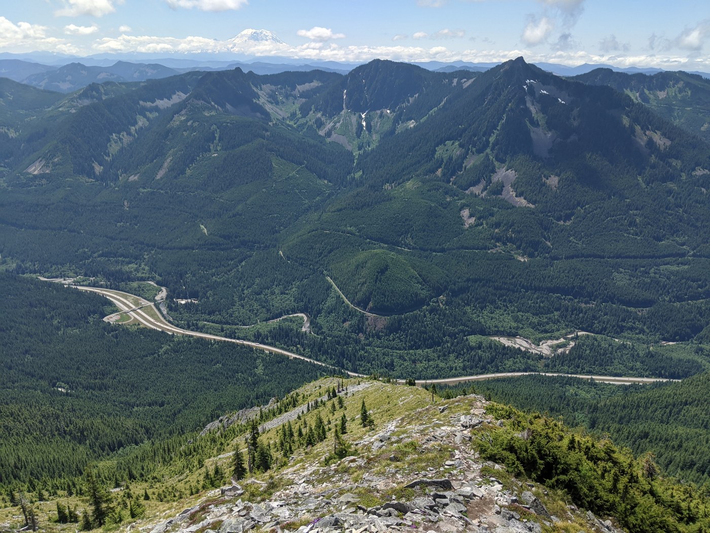
Friday dawned cloudy and cool, but with the promise of clearing later in the day I delayed my start to take advantage of the views I knew would await me. Reached the trailhead at Grouse Ridge Road a bit before 10am to find a few spots remaining in the parking area and plenty of parking along the road. Headed up towards the balcony on the recently completed Birdhouse Trail, which replaces the old trail that followed a roadbed farther north. For peakbagging types, the spot elevation requires a short bushwhack on the forested hill just west of the balcony itself.
Admired the balcony view for a few minutes before continuing on the Ira Spring Connector towards the Putrid Pete's Peak (P3) Trail. The connector is easy to follow with only a couple rougher patches and mud in the shade. No trouble locating the P3 turnoff, after which the trail switchbacks several times before attaining the ridge to the summit. From there, one gains 1500 feet in the last half-mile. If the final pitch of Mailbox isn't a challenge, I'd suggest trying this route. Mostly big steps up rocks through vegetation, with one small talus field and a short scramble up the summit block. Nothing treacherous when dry, and no particular routefinding issues. Summited P3 at 1pm to spectacular vistas. Then traversed to Web Mountain staying south of the ridgeline and following occasional bootpaths. Even better views from there, so stopped for lunch near the ammo-can geocache. Waved at two or three folks summiting P3, who would be the last people I would see until I was back at the car.
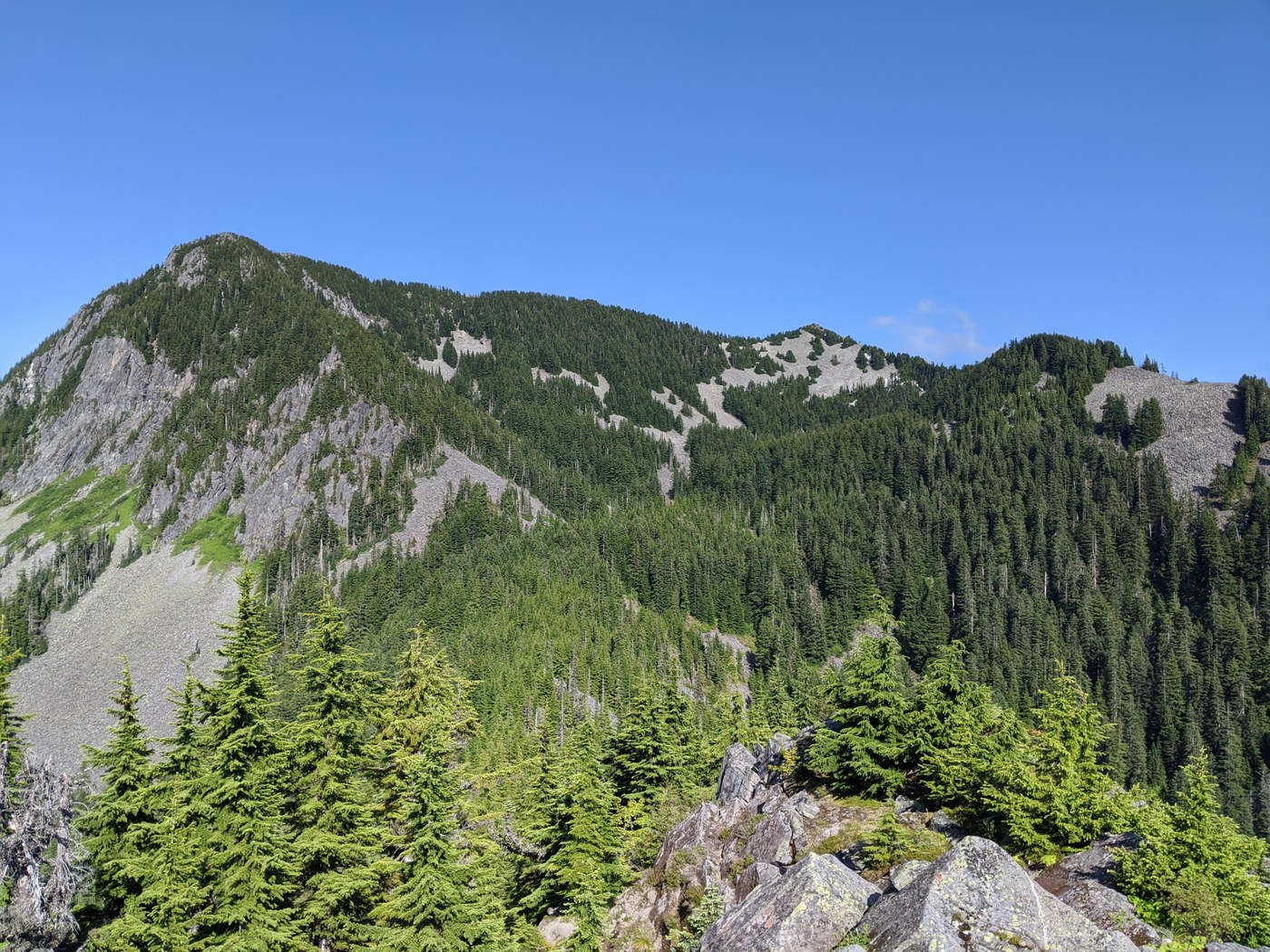
Continued around the summit of Web to gain the north ridge and begin the traverse to the north peak ("Web N 5320" on Peakbagger). The traverse was extremely slow going—the ridge is quite brushy, cliffy, steep, and narrow. Faint animal trails exist on alternating sides of the ridgeline, but it's nearly impossible to know when it's best to cross over. Nothing super unsafe if you choose your way wisely, but caution is warranted and there's not much aesthetic quality to this route. The north summit itself, however, is a stack of broad, flat rocks that offers an outstanding 360-degree view of the area.
My original plan had been to backtrack on the ridge to the saddle just north of Web and then descend 1000 feet of talus to the area of Dirty Harry's Bathtub. After the generally unpleasant traverse, though, I decided to at least take a chance at finding a way past the cliffs just below the north summit and descend directly from there. I first backtracked about a hundred yards south along the ridge to where I could spot a small area of talus through the trees. After a descending traverse of that field, I hit a very steep forested section and almost sketched out. But I could see that getting one more tree farther downhill would bring me to the edge of the cliff where I could scout, so I gingerly lowered myself to it, and found that it guarded a perfect series of steps and ledges with enough vegetation to hold me on descent. Praising my luck, I scooted down that section and thus bypassed the worst of the cliffs. Beyond that, it was more steep talus and forest that required a couple ski-pole self-arrests when I got careless, but picking a good line down into the basin was not a major challenge.
Arriving at the south end of the bathtub, I picked up the ridge around to the west and hit a thick bushwhack to summit the point I'm calling Dirty Harry's Shower Curtain for its guarding said bathtub. More dense vegetation obscured a clean route, but I eventually made it to the ridge leading to Coincidence Point. It was back onto talus here, which I was getting awfully tired of, but the mountains do not care what you're tired of. The summit itself has great views in all directions and provided an especially good point to look back at the Web Mountain ridge and admire my success in getting down. The rocks immediately west of the summit looked a little more rugged than I wanted to tackle, so I dropped down to the south and found a reasonably easy bypass route. Turns out I would have been fine staying on the crest, but it was here that I spotted eight ridge lift–riding raptors in a spiraling ascent below me, eventually reaching my elevation and continuing skyward. Something about trading talus for talons went through my head, but even when no one is around I know enough not to embarrass myself out loud.
Once back onto the ridge, it was a relatively easy traverse to the Dirty Harry's Peak Trail on its last pitch to that summit. A couple old roadbeds tried to entice me off the ridge, but these are even less passable than the older forest. The peak itself doesn't have much in the way of views, and the location of the highest point is not abundantly clear on the ground. Upon descent, I located the upper turnoff to Dirty Harry's Museum (difficult without GPS) and worked my way down the overgrown road to the logging truck. A bit surprised at how much of it is still there. Followed the excessively-carined trail below the museum back to the main trail.
My final adventure of the day was to see what remains of the old road-trail that was decommissioned when the Birdhouse Trail was completed. I first tried to directly follow the roadbed, which has indeed been thoroughly and aggressively decommissioned with boulders, logs, and really sharp plants. Finding it almost impossible to make progress, I was about to bail back onto the official trail when I spotted a promising way into the more open woods next to the road. To my surprise, I found myself on a decently worn trail providing a clear way through the forest. Soon, pink flagging started to appear, guiding a trail that largely parallels the old road, occasionally using it when it's clear enough and otherwise staying in the trees alongside. I hopped off to cross a creek and tag the high point I'm calling Never Peak because the Neverland climbing area is on its flanks. After doing so, I continued back towards the paved road, but it was pretty dark by this point so I'm not sure how much I was on the trail. Definitely wasn't when I finally saw the road and headed straight for it, only to find myself in an 8-foot-high thicket of devil's club, blackberries, and other such things along the shoulder. Thrashing my way through and heading down the road, I found that I was a bit north of where the trail comes out. Note: I returned to this area about a month later. Almost all the flagging is gone and there is a sign near the road stating that the area is closed for restoration.
All told, 11.5 miles and 4900 feet up/down.


Comments
Hikerbabe50 on Web Mountain, Dirty Harry's Museum, Ira Spring Connector Trail, Dirty Harry's Peak, Dirty Harry's Balcony, Coincidence Point
Would like to try to repeat this or something similar on a week day. Can you tell me the name of the trailhead off of Grouse Ridge Road? I typically use AllTrails for mapping and looking to find the best route using that app. Thanks!
Posted by:
Hikerbabe50 on Aug 28, 2020 09:44 AM
Peter Schilling on Web Mountain, Dirty Harry's Museum, Ira Spring Connector Trail, Dirty Harry's Peak, Dirty Harry's Balcony, Coincidence Point
Trailhead is here: https://goo.gl/maps/2QYP5jKa5BjoLdF97
You can get my GPS track off Peakbagger: https://peakbagger.com/climber/ascent.aspx?aid=1422356
But I would caution against trying to take the unsanctioned "old trail", as it seems like there's an effort to keep people out of that area.
Posted by:
Peter Schilling on Aug 28, 2020 10:08 AM
Hikerbabe50 on Web Mountain, Dirty Harry's Museum, Ira Spring Connector Trail, Dirty Harry's Peak, Dirty Harry's Balcony, Coincidence Point
Ok thanks! I think we are going to try P3, to Web and then on to Dirty Harry’s Peak. Still researching routes in that area. Happy trails!
Posted by:
Hikerbabe50 on Aug 28, 2020 10:45 AM
Hikerbabe50 on Web Mountain, Dirty Harry's Museum, Ira Spring Connector Trail, Dirty Harry's Peak, Dirty Harry's Balcony, Coincidence Point
Ok thanks! I think we are going to try P3, to Web and then on to Dirty Harry’s Peak. Still researching routes in that area. Happy trails!
Posted by:
Hikerbabe50 on Aug 28, 2020 10:46 AM
Hikerbabe50 on Web Mountain, Dirty Harry's Museum, Ira Spring Connector Trail, Dirty Harry's Peak, Dirty Harry's Balcony, Coincidence Point
Sorry user error with posting all three times! LOL....
Posted by:
Hikerbabe50 on Aug 28, 2020 10:47 AM