When I got to the Upper Big Quilcene trailhead at 7 a.m. on a Tuesday, there was plenty of room to park. I had the trail to myself for almost the entire way up to Marmot Pass before I started encountering a few other hikers. The temperature was ideal, and there were no bugs. Plenty of wildflowers out.
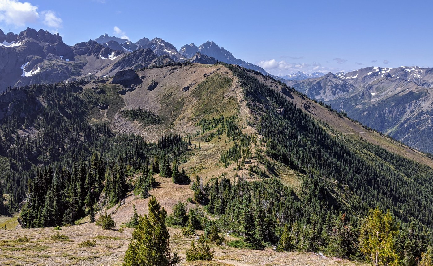
I then turned up the ridge toward Buckhorn Mtn. As I ascended, I started hearing the buzz of a helicopter, then I saw it hopping low over ridges around Mt. Constance and dropping into valleys. I wondered: sightseeing flight? Search and rescue? Then I realized they were looking for mountain goats, as part of the translocation program. The helicopter flew right past me, and when I waved they waved back. It was an amazing display of pilot skill. Later, I saw the helicopter headed toward Port Angeles with a bundle dangling below, presumably a goat.
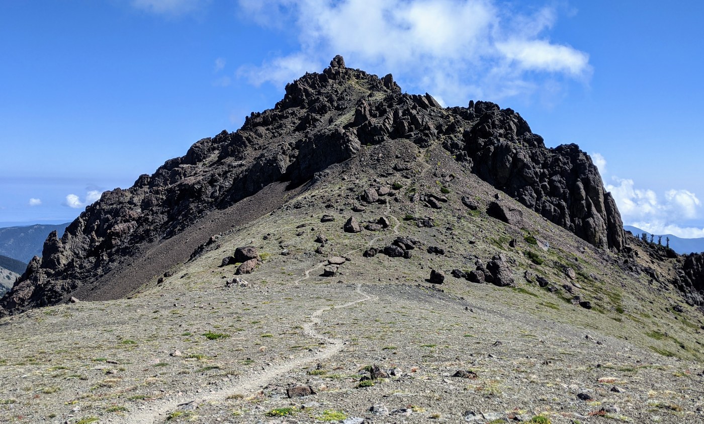
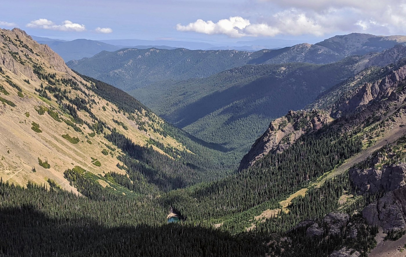
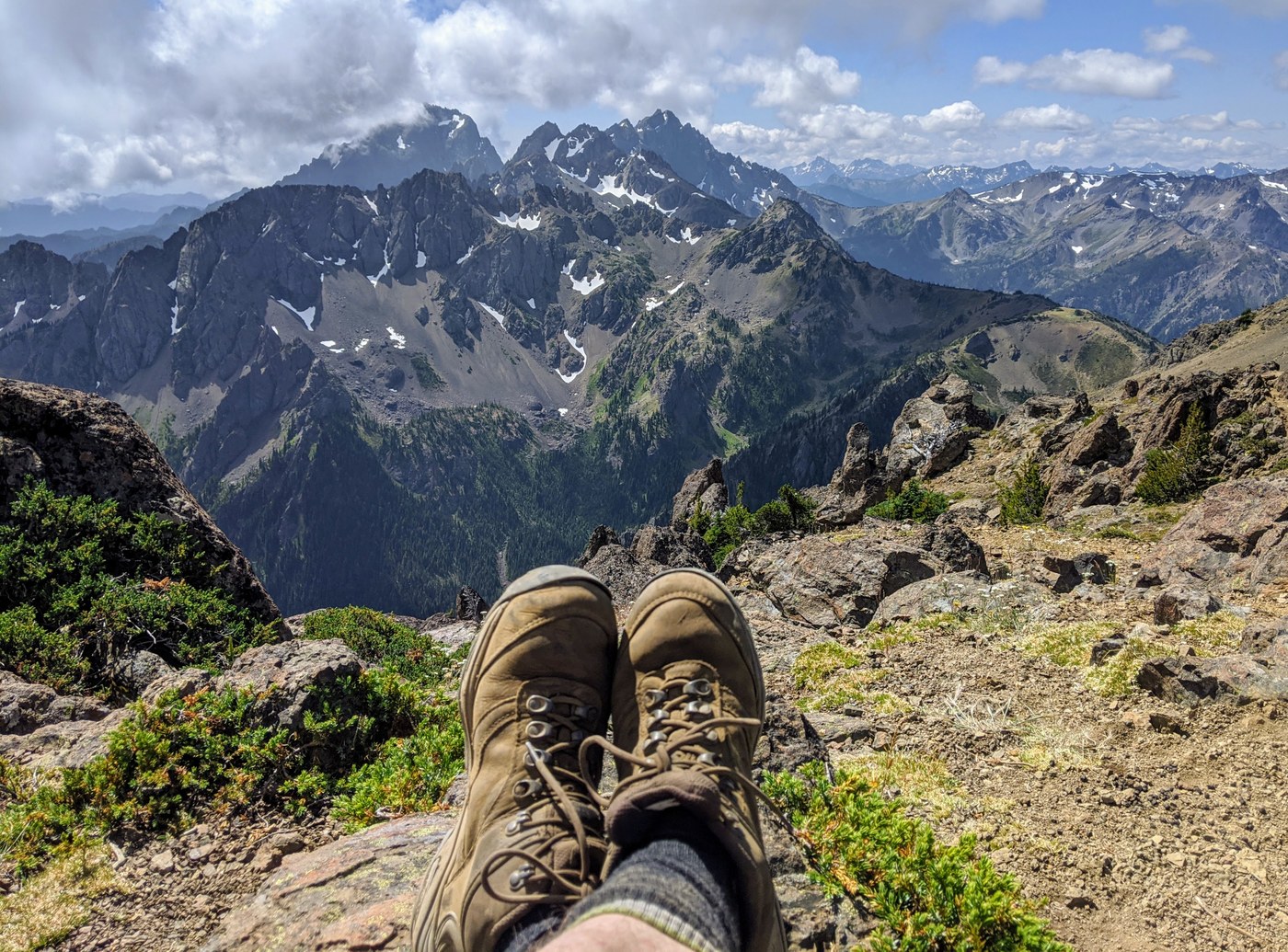
The one-mile ascent to the top of Buckhorn is, for the most part, just a steep grind on loose soil and gravel. Most of it isn't especially treacherous. But there's a section just below the top that's much steeper for about 75 feet, requiring both hands and feet. Probably a Class 3. It's kinda sketchy, because there's a lot of loose rock, and you can't be sure what you can rely on. But I made it past that without mishap, and enjoyed 20 minutes on the summit, from which I could see a vast panorama of the eastern Olympics: Mt. Constance, Constance Pass, Buckhorn Pass, Copper Creek Valley and Buckhorn Lake, Big Quilcene Valley, and out east to Hood Canal.
Descending the steep stretch was more sketchy than ascending, but I made it past without a problem. From there, it was an easy ramble back down to Marmot Pass and then down to the trailhead. I probably passed about dozen hikers on the way down, most equipped for overnights. Camp Mystery seemed to be filling up with tents in early afternoon.
Total mileage was almost 14, and total elevation gain was about 4400 ft.


Comments