The Bridge Creek parking lot was full at noon, but there was plenty of space in the pullout at the trailhead on the south side of Hwy 20.
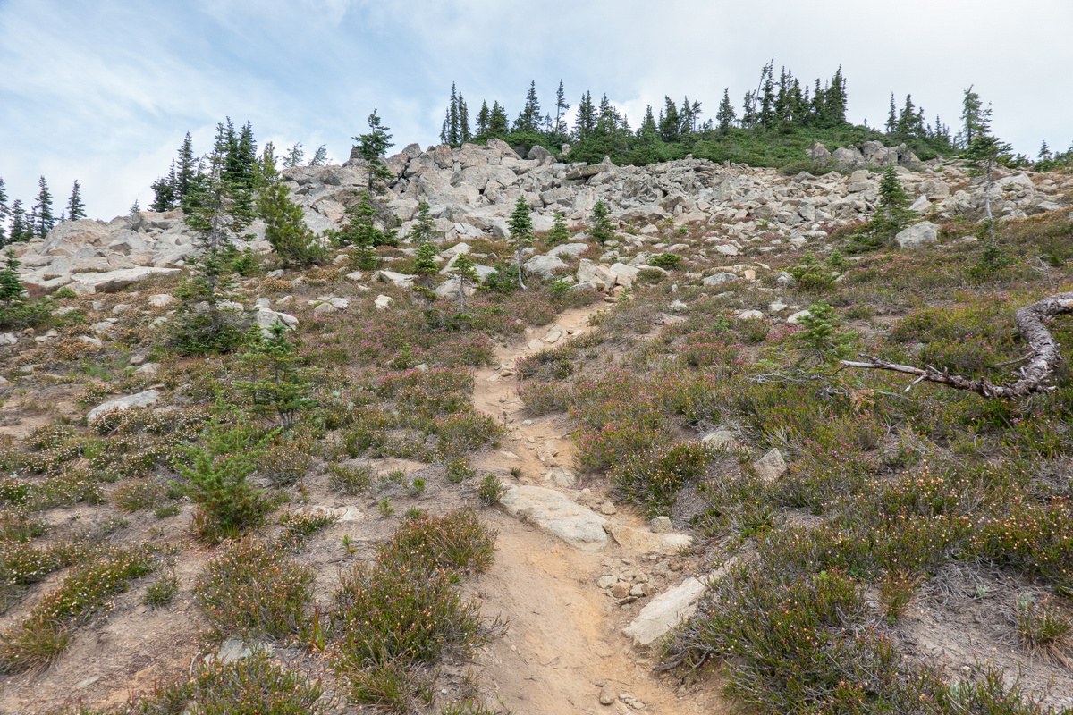
Started out on the Pacific Crest Trail, and then followed the Stiletto Spur Trail and the Stiletto Peak Trail up to the former lookout site (and a little bit further along the ridge, to get better views up the Copper Creek valley).
Trail junctions were all signed (but could easily have missed the final junction for the Stiletto Spur Trail). Two stream crossings (State Creek, Copper Creek) required balancing over short logs/planks to keep dry feet, the rest were step-overs. No water past a small stream near the bottom of the Stiletto Peak Trail. Several large blowdowns to climb over/around, but they didn't add much to the overall effort. The trail was slightly overgrown in a few places, and I could imagine losing it near the top in poor visibility.
Stiletto Peak Trail is incorrect on older maps (including NW Topos), but appeared to be correct in OpenStreetMap (except for the last section; fixed).
Plenty of marmots, pikas, and other rodents up in the meadows. Blueberries there weren't ripe yet, but there were some at lower elevation.
Encountered 2 parties on the Stiletto Peak Trail on the way up, 2 on the way down, and a similar number on the Pacific Crest Trail.


Comments
Bob and Barb on Stiletto Peak
I really like your picture of the 2 bees on the pearly everlasting!
Posted by:
Bob and Barb on Aug 10, 2020 09:11 PM
ejain on Stiletto Peak
Turns out flowers are easier to identify than bumblebees! https://www.pnwbumblebeeatlas.org/species-illustrations.html
Posted by:
ejain on Aug 10, 2020 09:37 PM
Bob and Barb on Stiletto Peak
Interesting link! Thank you for sharing!
Posted by:
Bob and Barb on Aug 12, 2020 09:51 PM