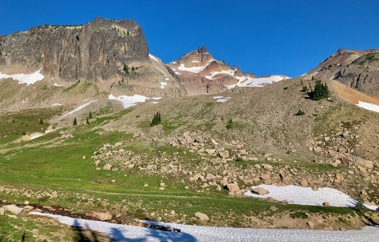
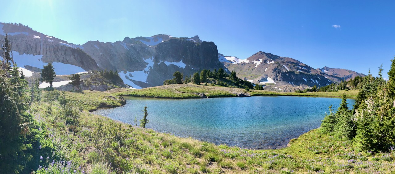
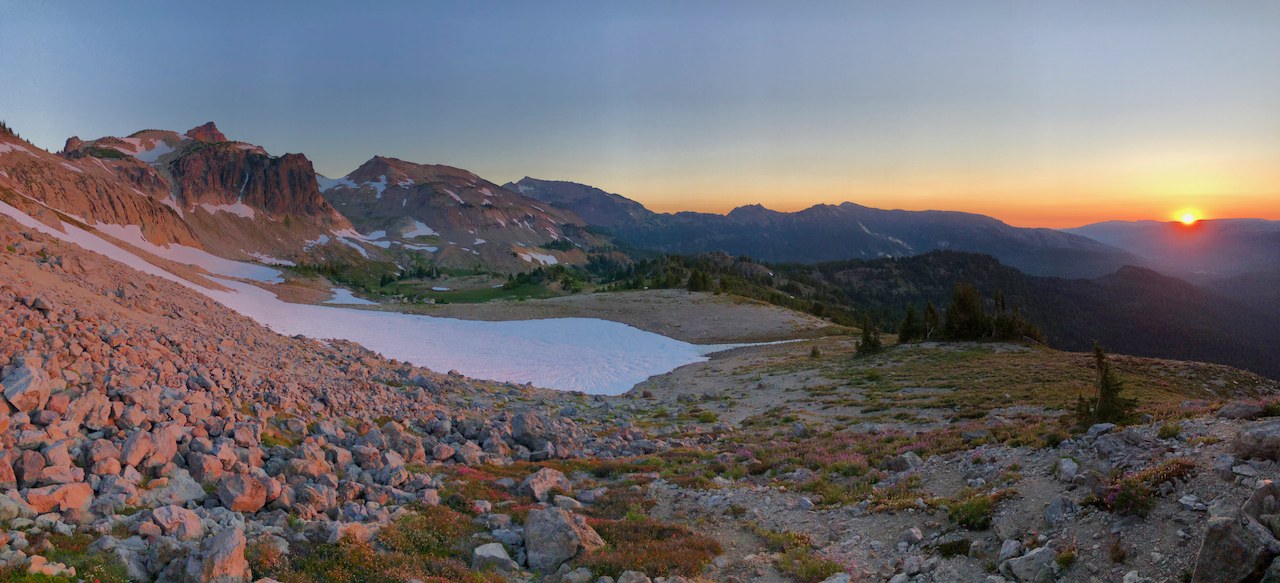
Ok, Surprise Lake is pretty, but I just walked by it because the real show is up in the vast meadows of Goat Rocks' eastern side! I don't know why Warm Lake isn't described yet on wta.org considering the western side of Goat Rocks is a mob scene even on weekdays in the summer. I went up for a solo one-nighter on a Tuesday, and yes, a Tuesday is bound to be less busy than about any other day, but it was EMPTY. So empty, I had a bear sniff my pack hanging on a dead tree branch around 3 am. What an incredibly beautiful place! Go!
Ok, so the hike on the South Fork Tieton River trail is long and not so thrilling - hot and bone dry down low and even more miserable on the endless switchbacks up to the level of Surprise Lake. Throw out looking at USGS maps for the trail distances because the NFS has rerouted the trail on both sides of the loop (directly up to Surprise Lake or up the northern side of the valley, which one would think is the shorter and more direct route to the Warm Lake trail cutoff. It's not!). Both ways have new switchbacks, I imagine to reduce erosion that more straight-up old routes were causing. I think the Surprise Lake route up is probably less distance now, but even if not, it is the nicer trail with prettier meadows past Surprise Lake. The cutoff to Warm Lake is easy to find although the first part of the trail is a bit steep and eroded and even overgrown in a few places. But nothing difficult. The 200 ft climb up the steep slope that puts you up into the vast meadows below Gilbert and Tieton Peaks is an exhausting haul, but short.
What can I say? I was giddy the entire time! Once up there, I think I liked this side better than Snowgrass Flats. It's more interesting and varied and full of waterfalls and a few pools and small lakes, including Warm Lake. And only here can you see Gilbert Peak, the tallest of all the Goat Rocks Peaks! And only here do you get to see sunrise so spectacularly over the Yakima plateau and the Columbia basin. And only here do you get to do it virtually alone! Yes, the drive is longer from Seattle, but do you want solitude or not?! haha.
Fyi, although the Warm Lake trail is noted on sites like hikingproject and some maps, it is not always obvious to follow. It is clear all the way up to the meadows and the first crossing of the south branch of the So.Fk. Tieton River. Don't cross it if you want to go to Warm Lake. Follow the left side of the river up and view the cool double waterfall, but backtrack 50 ft and head up the steep meadowed slope just back before the trees on the side of the waterfall. Then, whether you follow a visible trail or not, it's easy going all the way up to Warm Lake. The vast meadows beacon you to explore! Have fun! I did!!!


Comments
amart005 on Surprise Lake, Warm Lake
Maybe it’s not crowded because there aren’t trip reports...
Posted by:
amart005 on Aug 16, 2020 05:16 PM
yep!
well, that and that Warm Lake is described at all by wta!
Posted by:
urbanefarmboy on Aug 16, 2020 07:43 PM
BigDMama 77 on Surprise Lake, Warm Lake
How cold was it at night? My husband and I are doing this hike tomorrow and I don't wanna freeze overnight. :)
Posted by:
BigDMama 77 on Aug 16, 2020 06:08 PM
Oh, honey,
I can't predict your weather! haha. This is Washington State! But it wasn't that cold for me. I use this site to look at predicted mountain forecasts! You can select your elevation, too! It's great! Um, tomorrow? I think you'll be fine! i.e. NOT COLD. HAHA. https://www.mountain-forecast.com/peaks/Goat-Rocks/forecasts/2494
Posted by:
urbanefarmboy on Aug 16, 2020 07:45 PM
BigDMama 77 on Surprise Lake, Warm Lake
Thanks for the link! I'm sure it'll be fine too. I'm a pretty novice hiker though...and a worry wart! Now I'm paranoid about bears because of your report. LOL. But my husband assures me it won't be a big deal. Looking forward to hopefully some solitude.
Posted by:
BigDMama 77 on Aug 17, 2020 08:50 AM
Hikerjim on Surprise Lake, Warm Lake
We spent the night at Warm Lake on Wednesday, Aug 26. Shared the valley with 7 other groups, that we knew of. So don't expect complete solitude. Suggest you set up camp in the valley just before the lake, the lake is small and there is not a lot of level ground around it. Plan to spend a day hiking in the area and up on the ridges before going home. The hike in is 9.5 miles from the trail head with 2200 feet gain and some rough trail sections. After doing the final steep rocky climb leave the trail on a well worn boot path for the last mile to the lake, look for it starting 100 steps from the pass at 6000 feet. It does fade in and out in the meadows.
Posted by:
Hikerjim on Aug 30, 2020 12:34 PM