
Drove in from Seattle to the May Valley trailhead - reached there around 1pm in the afternoon. Hardly any cars around - just one party of 2 adults and 3 kids. 1 restroom still open - thankfully, and had hand sanitizer :)
Started hiking and hit South Access Road almost immediately - did the little Pretzel Loop (which is actually fun, even for an adult). I realized that woodpeckers actually drill holes that other animals make their homes in. Till today I just thought woodpeckers purpose of life was to peck wood. Anyway moving on..
Back on South Access road, walk uphill a bit and take a left into the forest (signed trail). Make sure to stay on the main trail, with a lot of upward climbing switchbacks - its often very unclear which it is. I went off down a couple of wrong trails a few times and then the undergrowth would get really thick and it'd be evident I was wrong. Anyway, I think this is called the Lower Bullitt Gorge Trail (as per the 60 hikes book anyway). This keeps climbing all the way fairly uneventfully, until you reach a junction where there is a big barn on the left and a sign saying something like "Private Equestrian Trail". There's also a road that turns right here. You almost certainly want the right going road :)
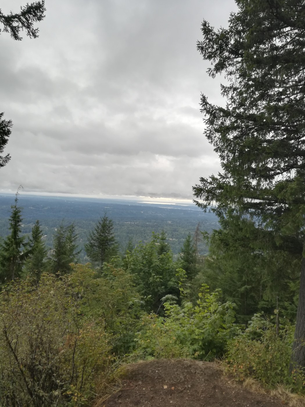
I went down the equestrian road as well (as the book says to go left - which is wrong) but that just ends in a gravel road with a lot of private entrances. Helpfully it also started raining at this exact point :|. Anyway I came back all the way to the junction, took the "right" route and went on upwards. Eventually there's a sign for the Perimeter Loop trail and then Debbie's viewpoint (which seems to take an awfully long time to come) with a nice view that is South facing. I think here you can see Rainier on a clear day. This was not one of those days with a lot of cloud cover. Anyway there's a nice bench where you can enjoy a snack and gaze out over the treeline into the emptiness.
Head back out to the Perimeter Loop trail and take a left (not the way you came) where there is a fork with the Chybinski trail. I didn't take that trail but took the one to the right saying "West Peak Trail" instead. That kept going for a while until you reach and pass West Peak (I didn't even see it) and reach another intersection telling you to go towards SR900 or Mountainside, as well as a helpful permanent marker inscription that says to take a right to go to the Bullitt Fireplace. That's what I did.
You see the fireplace and a picnic table where you can stop for another break or keep going till you hit the Central Peak where you should be able to stand right under the radio station equipment - this is the highest point. Go round the building, find the Summit trail, then Phil's Creek trail and stay on Phil's creek for a long time - where its fairly wet and muddy - but totally walkable.
Now you're nearly there and with signs towards the South Access Road. You can do this, but you'll end up walking for a mile on gravel like me which was awful and a pain. So go the other way at this point (I think this is the Equestrian Trail, as per the book) but its not marked.
Eventually you will end up back at the parking lot.
Its a nice hike overall, but a lot of forest walking and it can get a bit boring at times, but it is very peaceful and you see very few people. Those I did see were always very respectful and practiced social distancing.
Comments