
Saturday: We arrived to the TH late in the evening to camp at the Johannesburg campground. The camp is somewhat difficult to find. If you park in the TH and are looking at the board, head to the left and back down the road. You will see the post for the camp in the brush on the right-hand side approximately 100 ft down the road. Please note – camping in your car at the TH is not allowed; however, there is disbursed camping allowed all along Cascade River Road while in the National Forest if you are looking to get an early start.
Sunday: We started at 9 AM to make our way to the Pelton Basin campground and get set up so we could do some day hiking. The first ~2.5 miles consists of a LOT of switchbacks through the forest while gaining 1400 ft. Once you finish these the trail opens up to walk along the ridge for another mile or so along flat trail until you reach Cascade Pass. Walk to the left and the trail separates to stay left for Sahale Arm or turn right to descend into the basin. About ¾ of a mile will bring you to a junction to stay right for the Pelton Basin Camp, or continue on the left to head to horseshoe basin (see below for discussion of day trip). The campground is really nice with two bear boxes, a cooking area, easy water access, and 6 or 7 nice camp sites.
After getting camp set up we started the journey to Horseshoe basin and Black Warrior Mine. This was about 4 miles from Pelton Basin Camp and had no net elevation change, though you lose and gain ~1000 ft along the way. The trail is well maintained and there is a gorgeous waterfall about halfway to split it up. It is a great spot for a snack, refill water, etc. About ¾ of a mile after the waterfall there is a junction where you can cutback to descend to Basin Creek, or continue up for Horseshoe Basin (this is important to remember for the return trip, we almost found ourselves going right past the path back to Pelton Basin). The final 1.5 miles is a climb into the basin, and when you think you’re almost there, you’ve got quite a bit to go since you hike all the way into the basin. Once you reach the talus fields there are some cairns, though they are hard to follow and there aren’t enough to easily find your way to the mine. My best recommendation is to start climbing while staying to the right hand side and you will eventually see the mine over to the right. The mine is closed for health reasons and there is a gate up to keep it safe as a bat habitat, so there is not much to see there other than the plaques on the outside and the first two rooms. We wish we had not fought to get up there, but if this is something of interest to you definitely still make your way up! On the way out of the basin, we noticed a couple fresh spots of bear scat that weren’t there on our way in and when we returned to camp there was a black bear across the basin eating berries up on the hill.
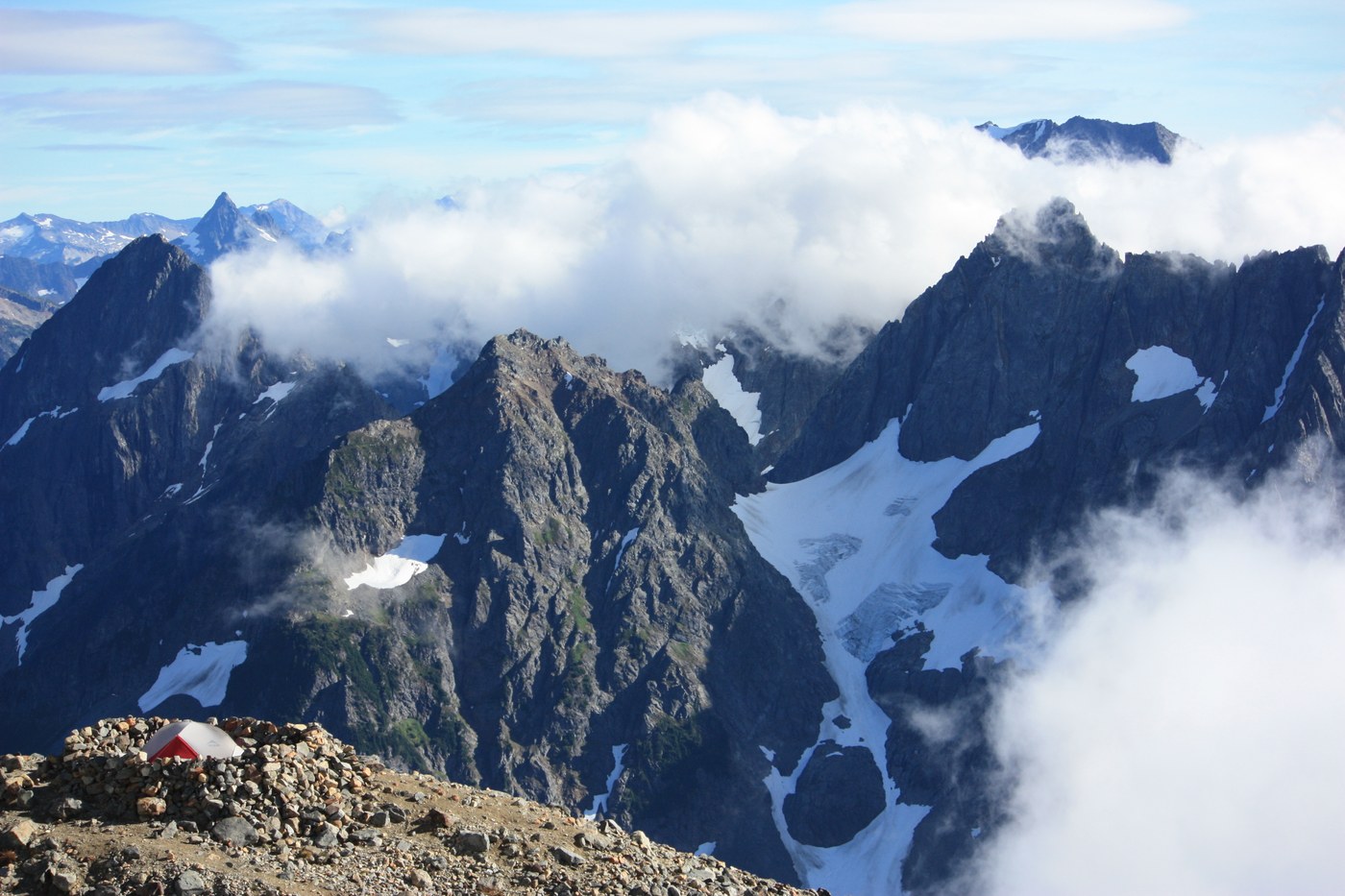
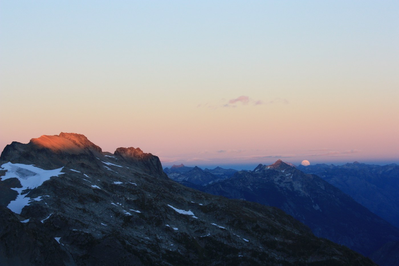
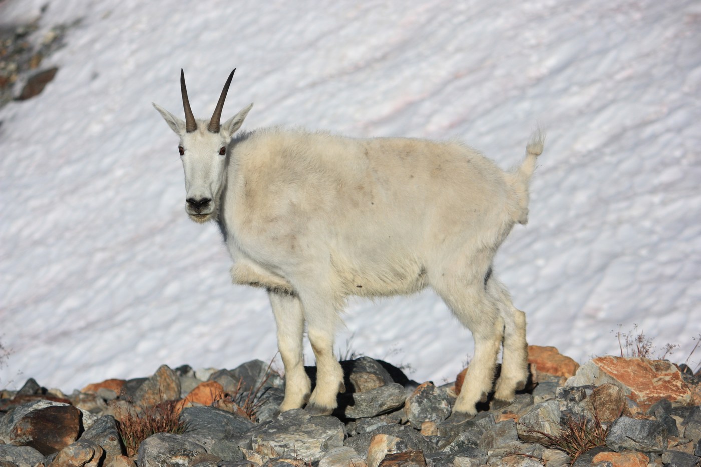
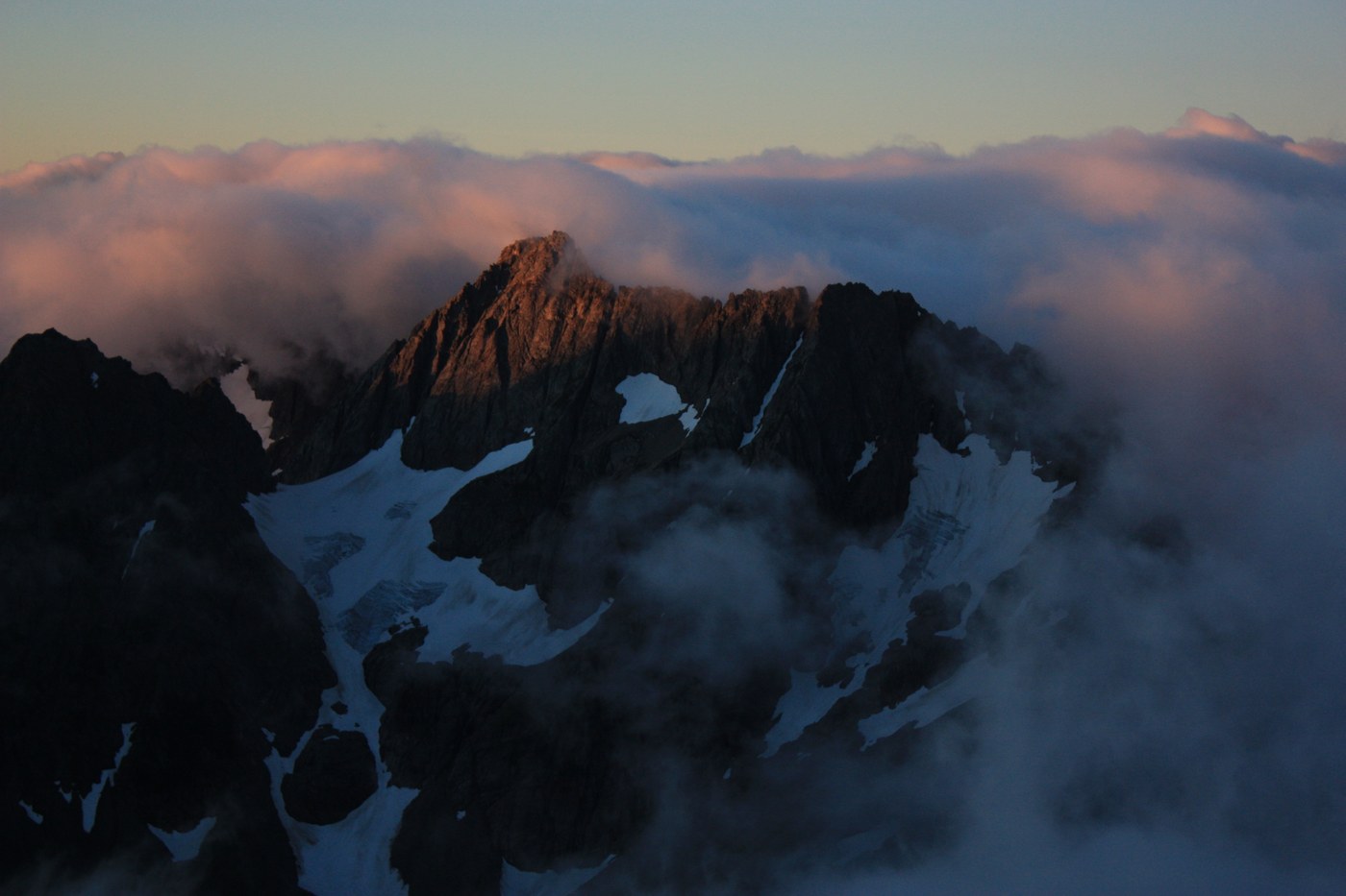
Monday: We started our steep climb to Sahale Glacier around 8:30 AM. The first mile is back to Cascade Pass out of the Basin, then things get interesting. Over the next 3 miles you will gain ~3200 ft of elevation, most of which is in the first mile and the last half mile. You will climb up switchbacks for the first mile, until it flattens out and you hike along the arm with stunning views of doubtful lake and lots of wildlife (marmots, chipmunks, birds, etc.). This area still has some elevation gain, but it is relatively mild. The last half mile is an incredibly steep climb up some rock fields, though there are spots of dirt trail that keep appearing among the rocks to make sure you stay on the right path. You will see a good number of cairns, and at times the trails separate and then re-converge, do your best to stay along the center path as this is the easiest and safest path. It’s tough, but once you climb through the clouds and emerge above them, the views are worth it. At the top there is a composting toilet with the best toilet views you’ll ever have and it’s in good condition. There are 3 campsites right on top of the knolls, and others spread around. The wind is insane up there, so make sure you are fine-tuned on setting up guylines and using extra tie-downs on your tent. The plus side to this is that we didn’t see a single mosquito up there. There’s a good amount of dayhikers that make this trip, but once late afternoon sets in it’ll only be you and the other backpackers on what feels like the top of the world.
Comments