Map directions given are accurate. You can simply go to the point given in the WTA app.
Trail length: I was testing a GPS watch and my phone and the entire length was registered as 7.5 miles RT. Please keep that in mind.
The "trail" is really just a gravel forest road. It was wide and nothing troubling.
No one else on the trail or at the hut, my dog and I had the whole place to ourselves.
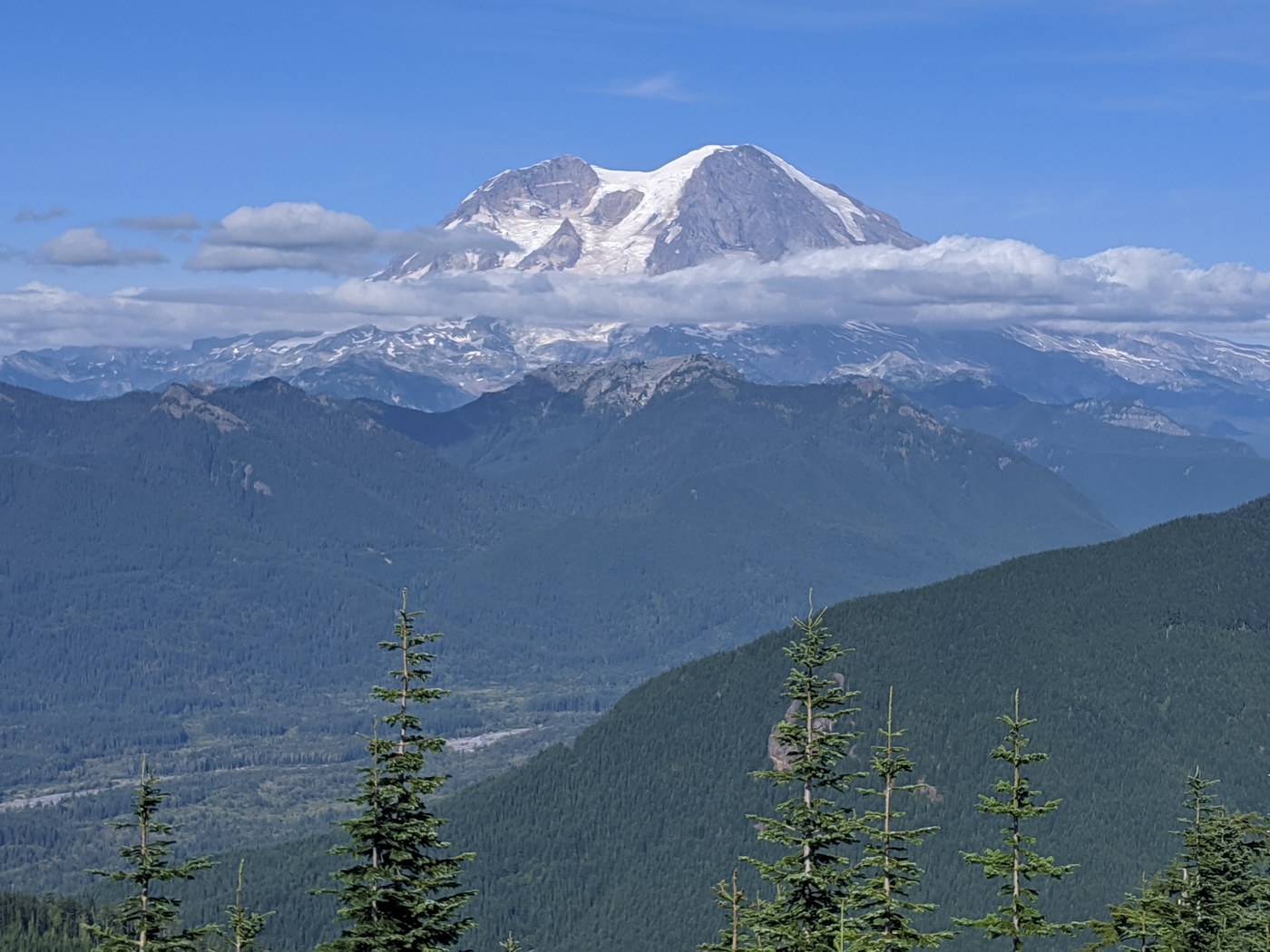
Hardest part was the constant uphill and basically no views until the very top. However, the views at the top are worth it, you can have lunch and just stare at Mt. Rainier for inspiration.


Comments