Honestly, the hike into Oval Lakes isn't the most enjoyable, especially when you hit the trailhead during the hottest part of the day. The first four miles are in a burn area and the trail is in okay shape, but eroded in places and pretty brushy in others. Once you leave the burn area, the trail flattens out for a bit before 1.5 miles of steep switchbacks to the West Oval Lake junction. The hike in itself does not have a lot of interesting features, but occasionally runs along a beautiful, clear creek.
We decided to continue past the West Oval Lake junction to Oval Pass and down to Tuckaway Lake to make camp. It's about another mile of steep uphill to get over the pass and then half a mile of steep downhill to get to the lake. The lake is small and quiet and full of fish (mostly too small to eat, but great for catch and release).
The second day we set out to climb Gray, Courtney, and Star Peaks. What a day of incredible views! From Tuckaway Lake, we climbed back up to Oval Pass and followed the user trail to the top of Gray's peak. It's a straightforward walk-up with a small register in a plastic container at the top.
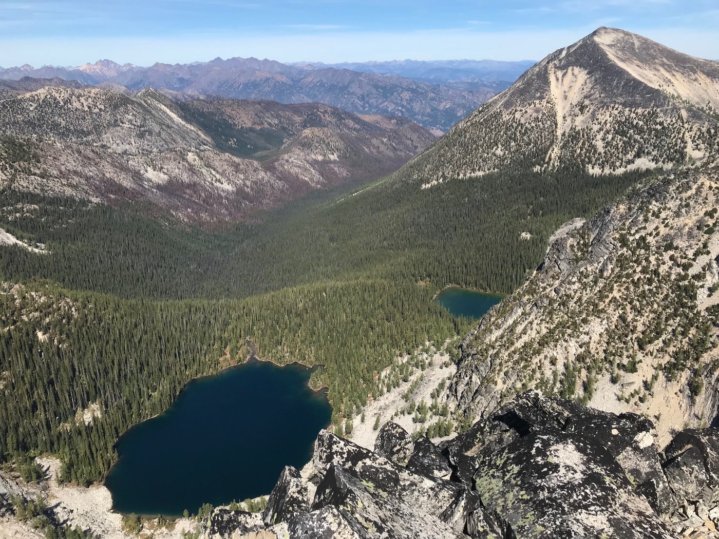
From Gray we followed the ridge down and over to Courtney Peak. The approach from this side was a bit challenging. It was mostly a scramble over large boulders with a few areas that we exposed enough to get the adrenaline pumping a little. It's a bit of a choose-your-own-adventure situation from this side of the mountain without much of a defined trail to follow. There are several false summits. The views of middle and east Oval Lakes from the top were outstanding!
We then made our way down the other side of Courtney towards Star Lake. This side was much, much easier! If you were to climb Courtney from Star Lake, it'd be fairly quick and straightforward with very little scrambling.
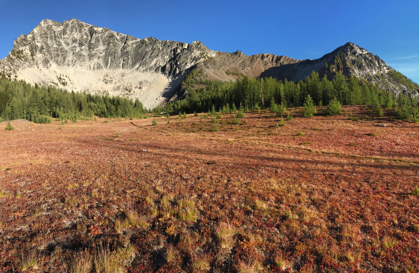
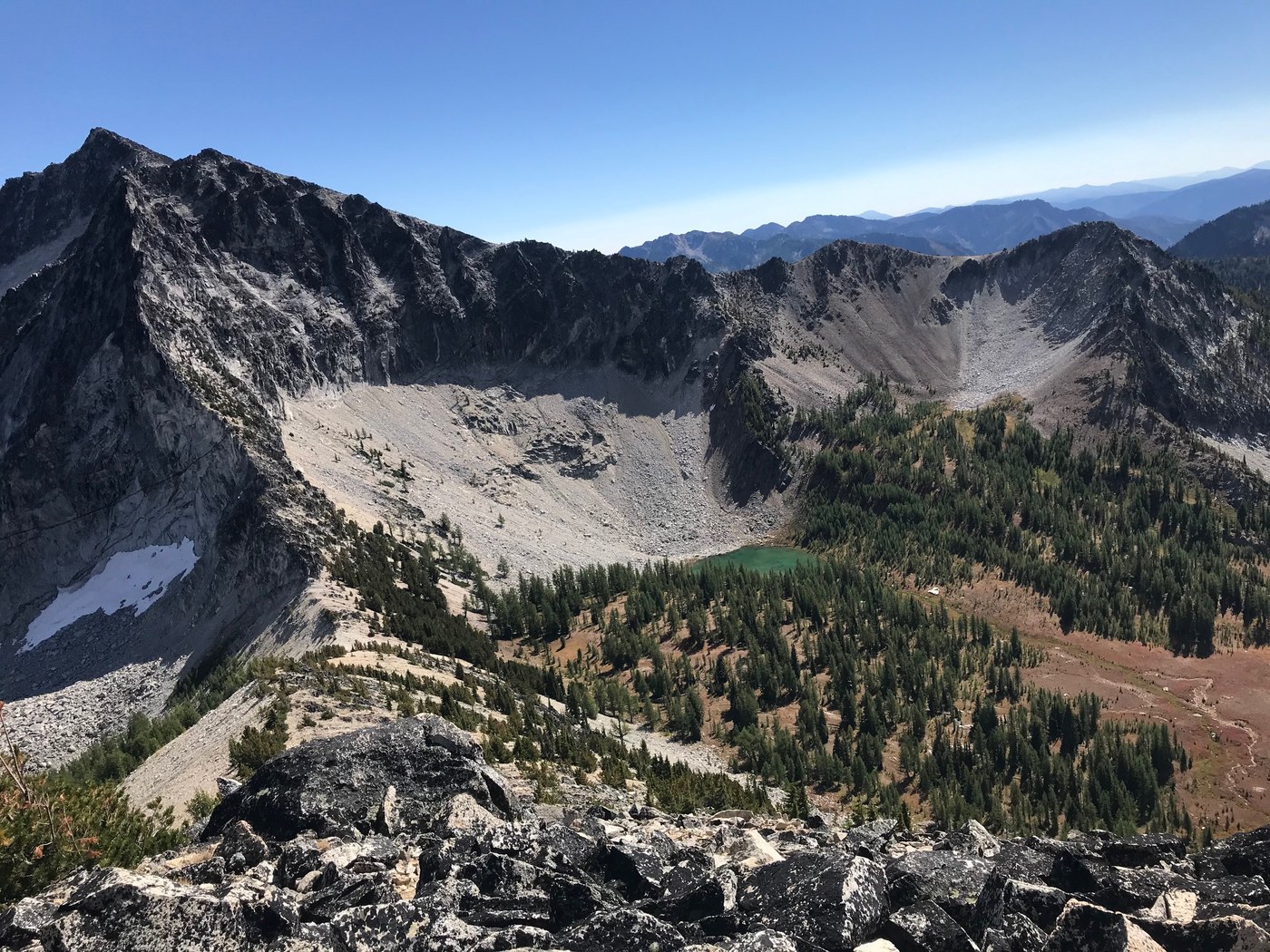
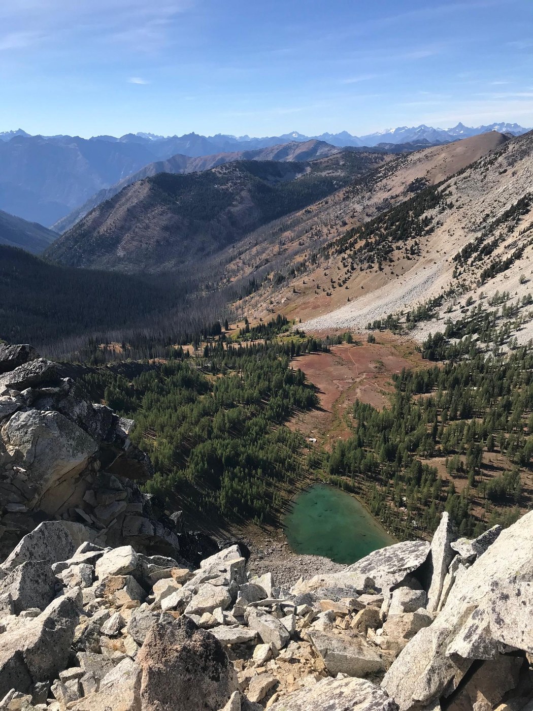
We stopped for a swim in Star Lake - very cold, but very refreshing - before heading up to the summit of Star. Note that the peak you see from Star Lake is the false summit, but the backside of Star Peak is much more gradual than what you see from the lake. Star Peak was the most challenging climb of the day mostly because the scree fields and boulders towards the top were a bit like ball bearings on the way down (and our legs were already tired from the rest of the day). There is a register at the top in a Mountaineer's water bottle at the top, but it's fallen deep between the rocks and we could not reach it. Make sure to check out the views from the false summit. The lake and meadows are amazing from this vantage point.
To return back to camp, we hiked through the incredible meadows at Star Lake and connected to the Summit Trail which brought us back to Tuckaway Lake.We saw some adorable marmots and lots of bear activity, but no actual bears.
Our total distance for the day of peak climbing was 8.88 miles with 4,322 ft of elevation gain.
The next day we woke to strong winds so we packed up fast and made quick work of the long hike back to the trailhead.
Definitely stop at Cinnamon Twisp Bakery in Twisp on your drive home!


Comments