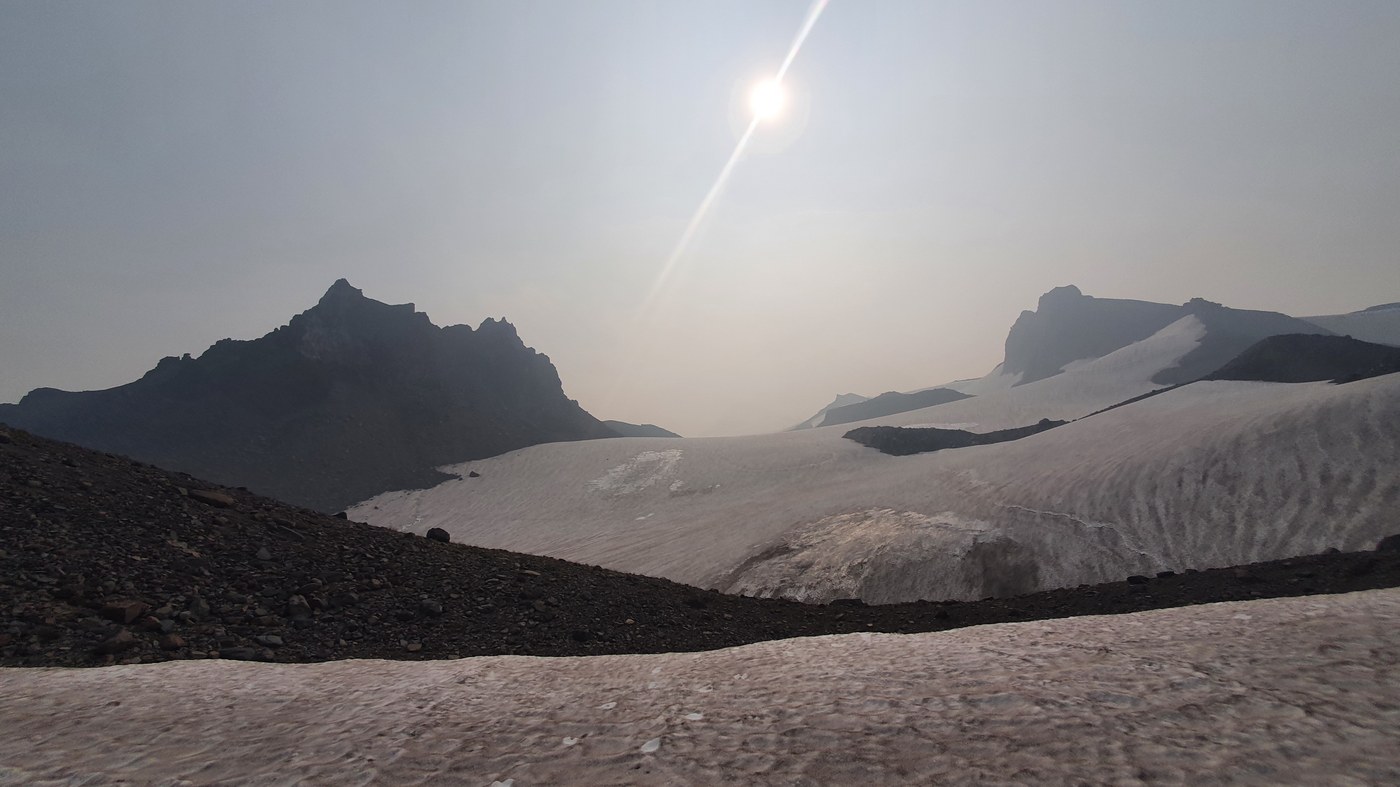
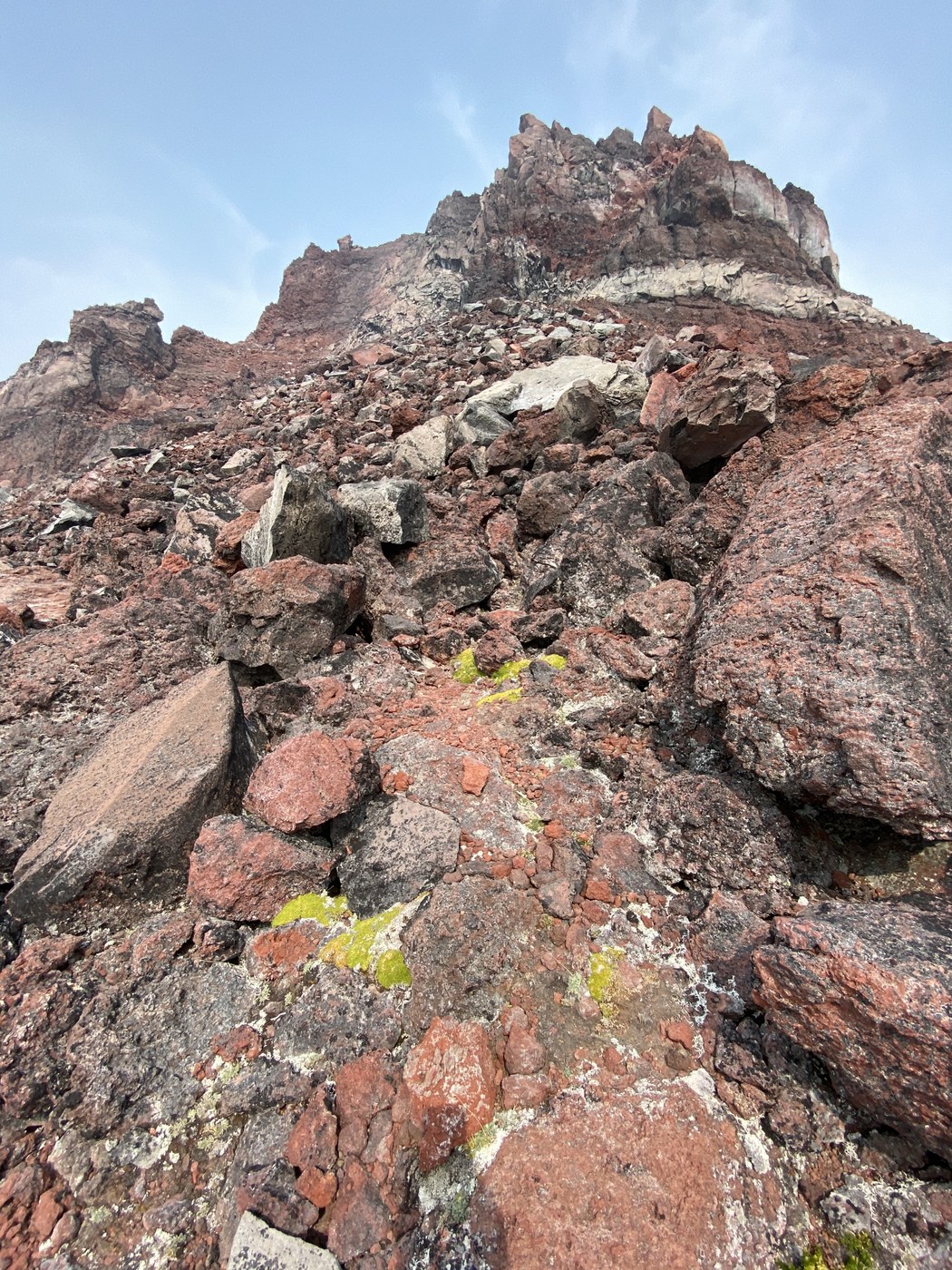
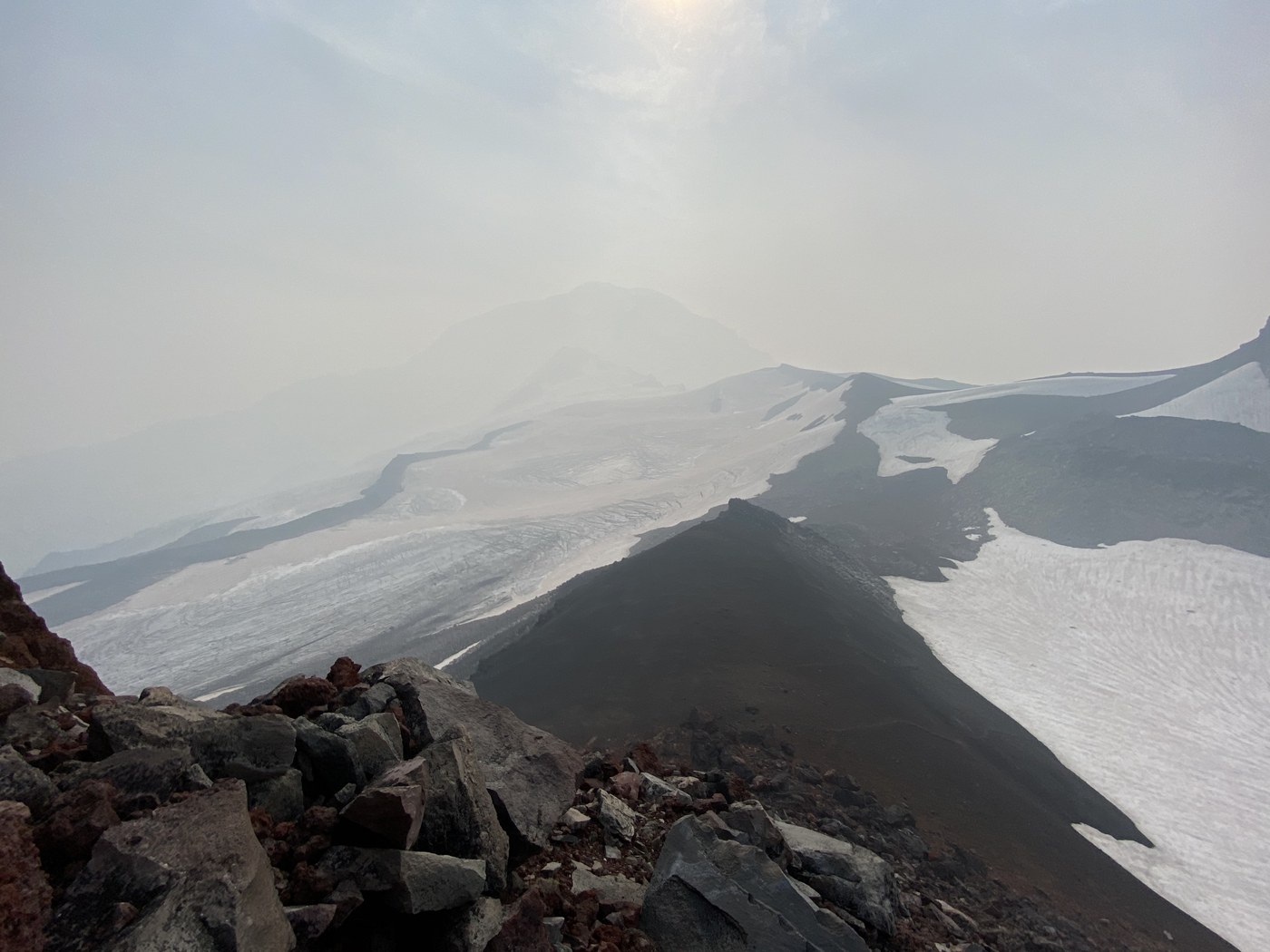
Decided to take a chance and see if we could escape the smoke and haze by going up high for a scramble as weather blogs indicated smoke level at 5-6k'. Chose Echo Rock, approached from Mowich Lake at Mount Rainier. While the weather did clear up higher, we did not fully escape the haze even at 8000'. Even though we were right beside Rainier, and could hear major rockfall every 15 mins, we could only see an outline of the mountain. But turned out to be a good hike and scramble and we saw only a few other people the whole day, with no one going to Echo or Observation Rock as far as I can tell. It wasn't a super strenuous hike compared to what we are used to, but definitely was a little more winded due to the conditions. Partner brought an air quality monitor and measured 160-180 at the trailhead. Unfortunately, he forgot it in his trunk when we left for the hike! We had planned to measure throughout. Stats were 11.5 miles round trip, with 3300' gain. Weather was perfect otherwise, t-shirts and shorts the whole way and no wind. Perched atop Echo Rock, we decided to forgo an Observation Rock scramble due to smoky conditions. It was enough lung damage for one day. Gear included hiking boots, poles, and micro spikes. There's a good 30+ mins of snow travel required, but no harder than Muir snowfield. The snow was pretty firm, so it was good to have spikes in the steeper sections. The scramble portion is volcanic choss with lots of loose stuff, would have been good to wear a helmet in hindsight.
Road and TH Conditions: Last 15 miles or so is gravel with minor washboard and occasional but infrequent potholes. Can be navigated in most vehicles. I chose to bring the higher clearance vehicle anyway. Was able to maintain a decent speed for the most part. TH is part of the camping area, so in great shape with clean restrooms and garbage facilities, picnic tables, etc. Met almost no one on the road the last 25 miles, but parking lot was surprisingly filled - maybe 15 cars. Still plenty of space. I assume many of them were camping as we saw some tents and groups.
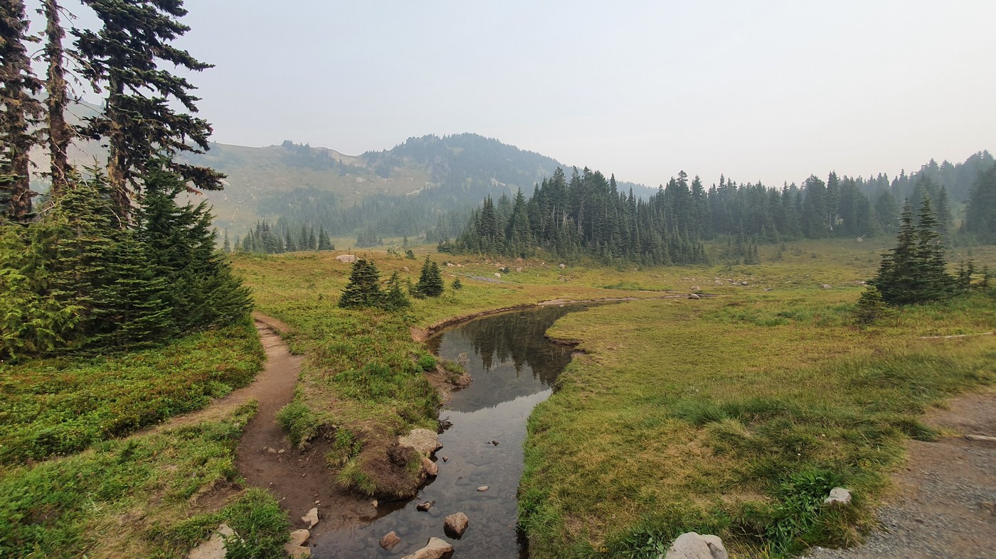
Trail Conditions: First 4 miles or so is a decent hard dirt path with lots of steps created by logs inserted across the trail, going through forest then into alpine meadows. Following that are boulder fields that alternate between hiking on the rocks and dirt paths. Finally you hit a small snow field up and down, traverse down more rock field and get on the final large snowfield that goes up to the base of Echo on the left and Observation on the right. The scramble up Echo is reasonably straight forward. Once you're in it, the path becomes clear. Lots of chossy rock and loose boulders all over, so you have step delicately. A few class 3 scramble moves here and there. The actual summit was very small, just enough for the 2 of us to take a photo before heading down 20 feet to an open ridge overlooking the outline of Rainier for lunch and a rest. I'm sure the views are amazing when not so hazy.


Comments