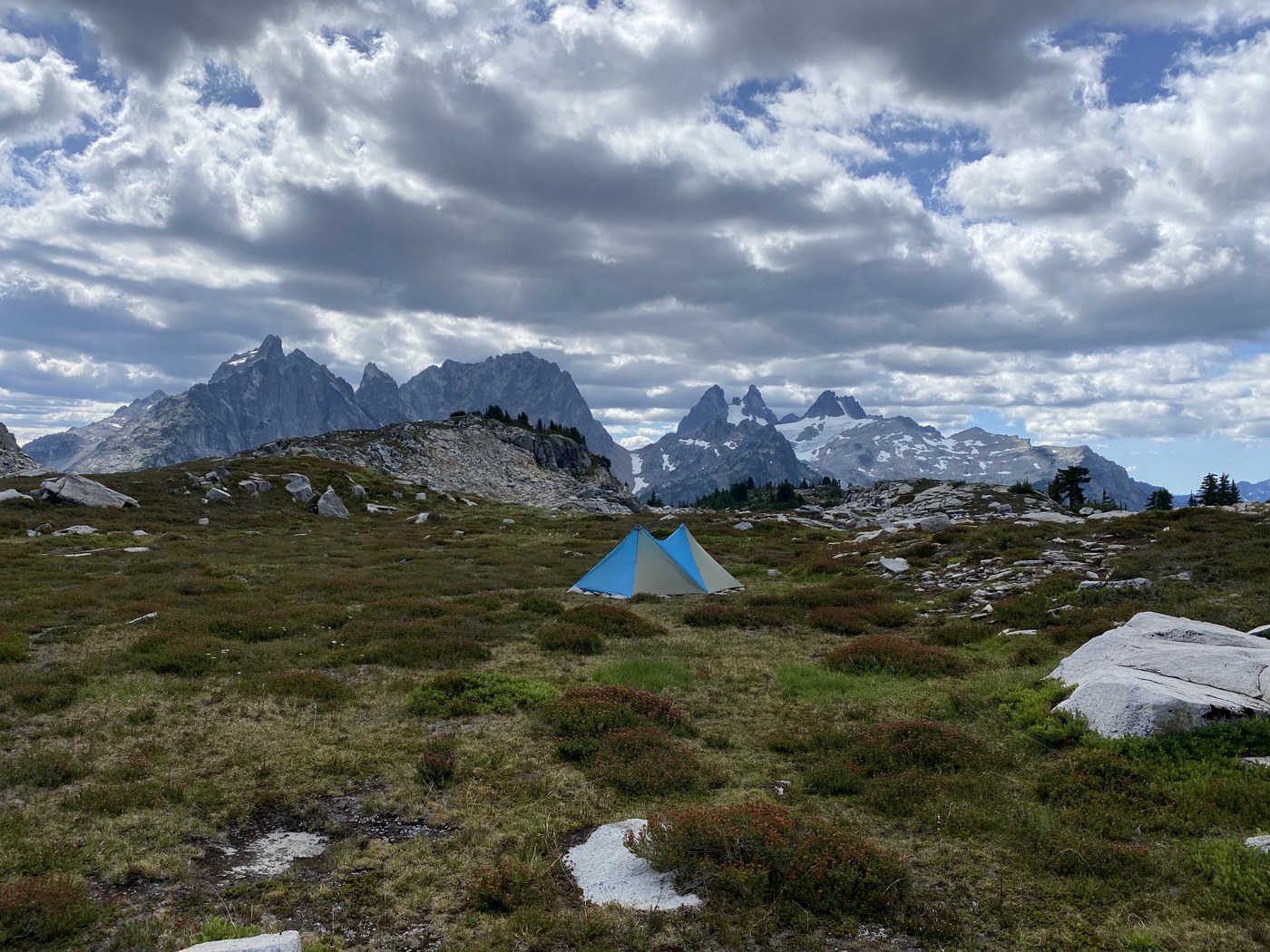
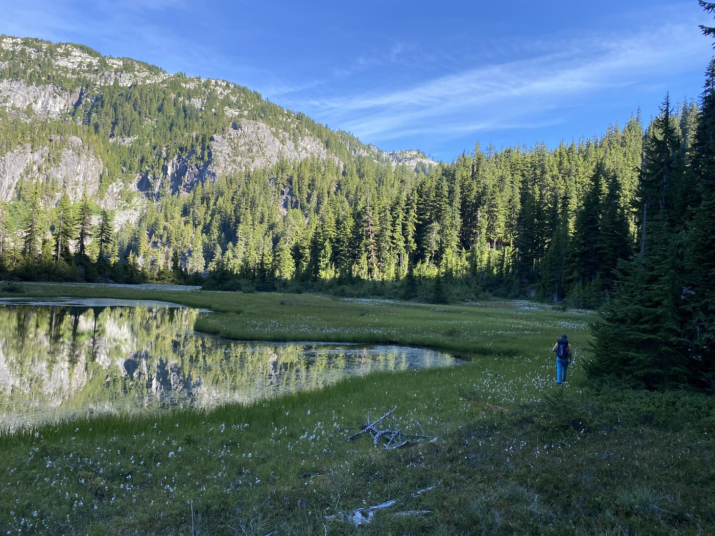
We took a variant of the alpine lakes high route over the course of a four day backpacking trip. Strava route link for GPX track below. Bugs were not too bad - we had treated everything we were wearing with permethrin and that really helped.
Day 1 - W Fork Foss TH to small tarn near Chetwoot Lake
Day 2 - Chetwook Lake to Tank Lake
Day 3 - Tank Lake to small campsite in Necklace Valley
Day 4 - Exit via E Fork Foss TH
Day 1
Trail from W Fork Foss through to Big Heart was unremarkable. Some route-finding getting from Big Heart to Chetwoot, but you can mostly follow cairns & a relatively beaten path the entire way to Chetwoot. Beautiful views looking down on Big Heart and Angeline heading out to Chetwoot. There wasn't any water between Big Heart and Chetwoot except a small tarn (marked on the map), so make sure to stock up on water at Big Heart.
Day 2
This was the tricky day. We knew we had two route alternatives - from Chetwoot we could either head up to Iron Cap Lake, or we could go around Azure and Azurite, find the "key ledge", and then head up Iron Cap Pass. We wanted to minimize exposure, and I'm not a climber, so we decided on the second route. There is no trail from Chetwoot to Iron Cap Pass - it's all bushwhacking and route finding. Bring a GPS, and be very comfortable with route finding. We saw no parties beyond Chetwoot lake, it felt very remote.
Getting from Chetwoot to Azure was the more straightforward section of the route. Lots of boulder fields to traverse. Finding the "key ledge" was also relatively straightforward - on our GPS track you can see what we believe is the "key ledge" at the little loop above Azurite. When you are above Azurite, you'll reach a very distinctive overturned tree at about 1390m (the roots are entirely facing you). If you want to avoid anything that feels like a ledge or exposed, head up to your right at this point and you can go above the "key ledge". After the "key ledge" from Azurite to Iron Cap Pass was the crux of the day. Very steep, pine-needle covered forest. Thankfully there were a lot of blueberry bushes we could hold onto. No exposure, but definitely not fun. It certainly felt at places that if you let go of the blueberry you could easily slip about 20 feet down into the forest. Thankfully no devils club. The forest alternates with boulder fields to traverse. Once you've reached the base of Iron Cap Pass you are home free all the way to Tank - heading up Iron Cap Pass is significantly less steep than Aasgard or Headlee Pass & the rocks are very secure. Would recommend filling up water both at Azurite and at one of the little tarns at the base of Iron Cap Pass. After Iron Cap Pass all the streams marked on the map all the way to Tank were either dry or very out of the way of the trail. Stunning views of Summit Chief/ Chimney Rock will greet you at the top of Iron Cap Pass as you head to Tank Lake.
Day 3
We hung out at Tank most of the day, then the smoke blew in around 6 PM and we decided to head a little lower for hopefully less smoke. We had Tank to ourselves the entire day - amazing swimming. We saw quite a few tadpoles in the lake and a couple marmots. The solitude was nice, and we would have been the only one's camping there Monday night.
We headed down Necklace Valley and passed Opal, Emerald, and Jade lakes. We continued down and camping along the trail at a small campsite about 5 miles from the E Foss trailhead. Heading down from Tank to reach Opal was the most difficult part of the day - it's steep boulder fields with difficult to follow cairns that often dead end. You'll still need to be on your route finding game for this section. Once you hit Opal, it's trail all the way out.
Day 4
Not much to remark here - walking out on trail from our campsite all the way out to the E Foss TH, then walking 2 miles along the road to the W Foss TH. The last couple miles in the forest are thankfully flat and pass quickly.


Comments