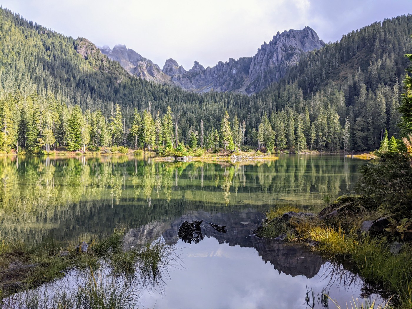
We did a one-night backpack to Flapjack Lakes, Gladys Divide, and Mt. Gladys. Left the Staircase trailhead at 9:30 am. There were no other cars at the trailhead. The trail up the N. Fork Skokomish 3.5 miles to the junction with the was in fine shape. It's essentially an old road, so the grade is easy. The trail up to Flapjack Lakes was steep but generally in pretty good shape, except for one huge blowdown about a mile up that required some acrobatics to get across.
We reached the lakes at about 2:30, with no sign of anyone else. We explored the campsite options and eventually settled on a good one at the eastern lake near a latrine. There are several sites on the isthmus between the lakes that are closed for restoration. After making camp, we headed up to Gladys Divide. The day was overcast with intermittent drizzle, but we thought we'd give it a shot and try again the next morning if the views weren't good. It's a 1.6-mile hike to the divide from the lakes, with 1300 ft of elevation gain. The trail was in generally good shape, with a few step-over blowdowns and one crawl-under blowdown. It took us about an hour to reach the divide from the lakes. With the clouds and drizzle, the views weren't the best. We could see the massive wall of Mt. Cruiser to our right, and could see northeast across the upper Hamma Hamma valley to Mt. Henderson. So we decided to return the next morning. After our return to camp, we could hear another party camped across the lake.
The next morning dawned clear and cold, and we headed up again. As we ascended, the world took on a frosty edge, with ice crystals crunching underfoot and the red leaves of huckleberries rimed with ice. The view from the divide was dazzling: upper reaches of the mountains dusted with fresh snow and a rosy morning glow on the mountainsides. We continued on the boot path to the top of Mt. Gladys, another half-mile and 500 ft up. The path was generally easy to follow, with a few cairns. At one point, it disappeared in scree, but the way up was pretty obvious.
The view from the top was even more dazzling, and well worth the effort. There are several different vantage points around the summit area, and it's worth going to all of them. To the west, we could see across the N. Fork Skokomish valley to Mt. Olympus, Mt. Queets, and the Baily Range. Further north were Mts. Duckabush and Steel, with bits of Mt. Anderson peeking out from behind them. To the east of them were Mts. LaCrosse and Deception. Across the Hamma Hamma valley were Mts. Henderson and Skokomish. There were two good bivouac spots at the summit.
After our return to the lakes, my remarkably hardy hiking companion spent an hour exploring the chilly underwater world with snorkel and mask. He saw lots of brook trout. On our hike out, we encountered a couple of hikers on their way up. When we reached the turn for the suspension bridge over the N. Fork, we took it to finish up the hike with a more scenic view of the Staircase Rapids. We were at the trailhead by 6 p.m.


Comments