When Mt. Saint Helens erupted on May 18th, 1980, I was camping at the Woodland Motocross Park. That day we waded in the warm muddy water coming down the north fork of the Toutle River and gathered floating lava rocks from the eruption. On November 2nd, 2020, I climbed to the top. It was kind of emotional and surreal.
Climbers Bivouac is one of the nicer trailheads I have seen. It is a paved loop with a couple different toilets and some campsites in the middle of the loop. When I arrived Monday at 7:30 am there were maybe 10 cars but they were coming in quick. From November 1st thru March 31st (Winter Climbing Season), permits are free and self issued at the trailhead but there were no permits and the registration book had no blank pages. When I returned in the afternoon, the permits (and toilet paper) had been restocked, but no new pages in the registration book. I heard that on Sunday the trailhead was full and people were parked 1/2 mile down the road so that might be why the permits were gone!
The hike through the woods to start and end this challenging trip is truly delightful! The weather forecast at mountain-forecast.com was spot on, loved the wind, maybe a bit too much at the top. This can be a completely different experience depending on the weather so watch it closely. I wanted a snow free dry day which is what I got. Apparently sometime around December, this trailhead / route will close and the best way up is the Worm Flows route starting from the Marble Mountain Sno-Park.
Previous reports have broken this hike into 3 parts, but I would call it 4 as follows:
WOODS:
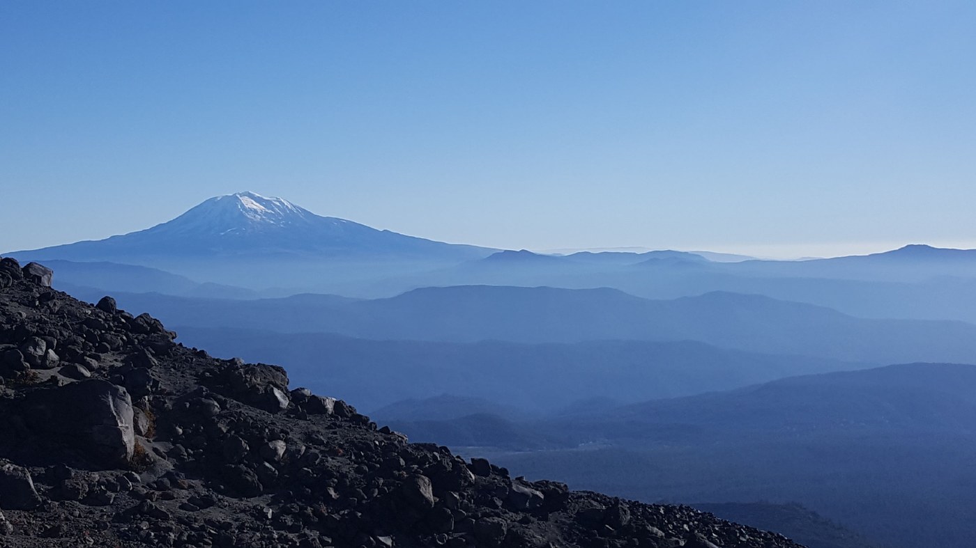
Roughly 2.0 miles - 1,050' elevation gain up to the 4,800' mark. Well maintained trail, views of Mt. Hood on a clear day.
BOULDERS / MONITOR RIDGE:
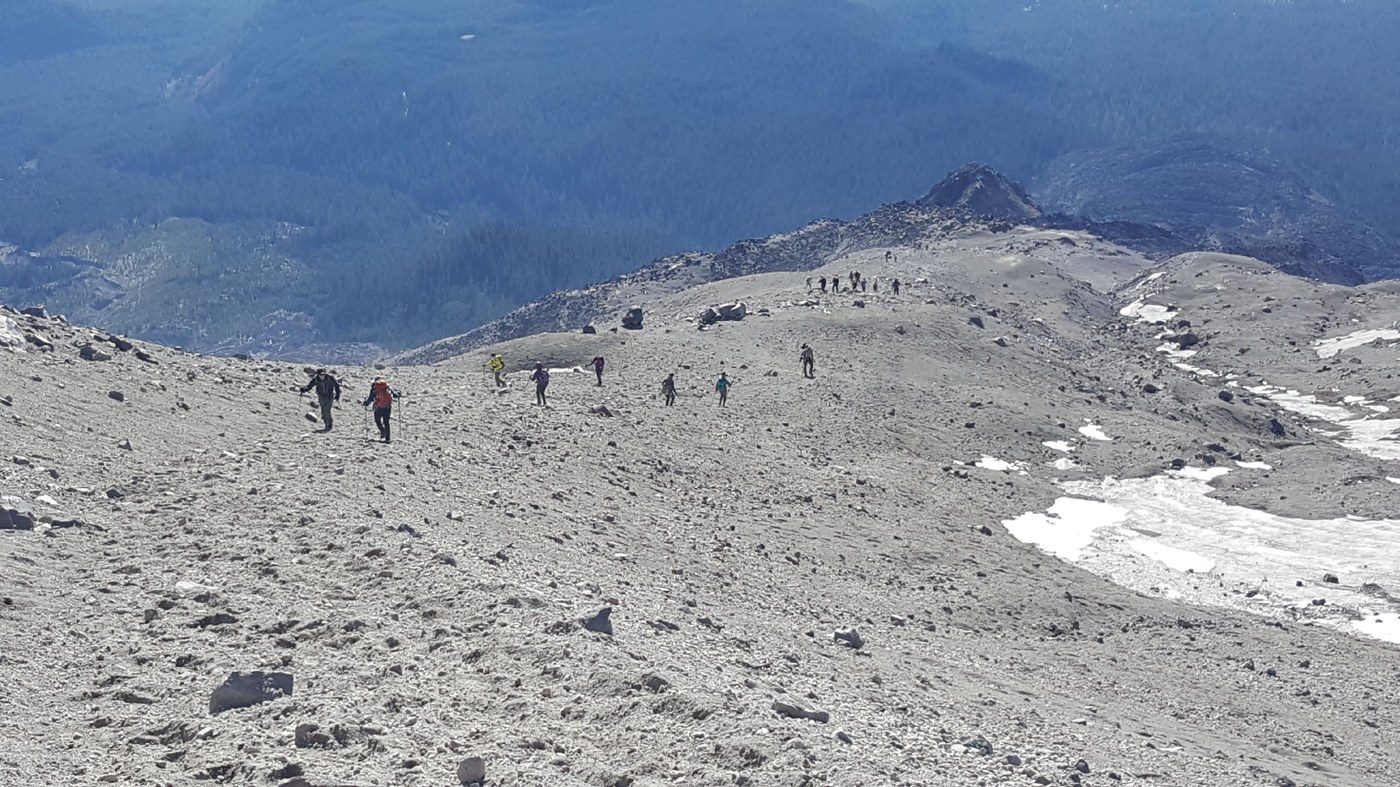
Roughly 1.5 miles - 2,400' elevation gain up to the 7,200' mark. Even the boulder field can kind of be broken into a few sections. There are wood posts up the ridge to keep you on track but there are many little "paths". The first section is just up, right left, center, you choose. After the first crest, I would stay either to the left or right of the ridge line (the posts go up the center). There are a couple of different "trails" up the left side but the bottom line is that the boulders are smaller on each side of the ridge. Choose your path and use the posts as a rough guide.
SOFT ASH / SAND:
Roughly .5 miles - 1,050' elevation gain up to the crater rim. Again there are several paths going up this section but for the most part it is straight up. This is the place where you can get sand / pebbles in your shoes but probably more so coming down than going up. It could also be very different in depending on weather conditions. While this section takes you to the crater rim, you aren't yet at the SUMMIT!!!
RIM TRAIL TO THE TRUE SUMMIT:
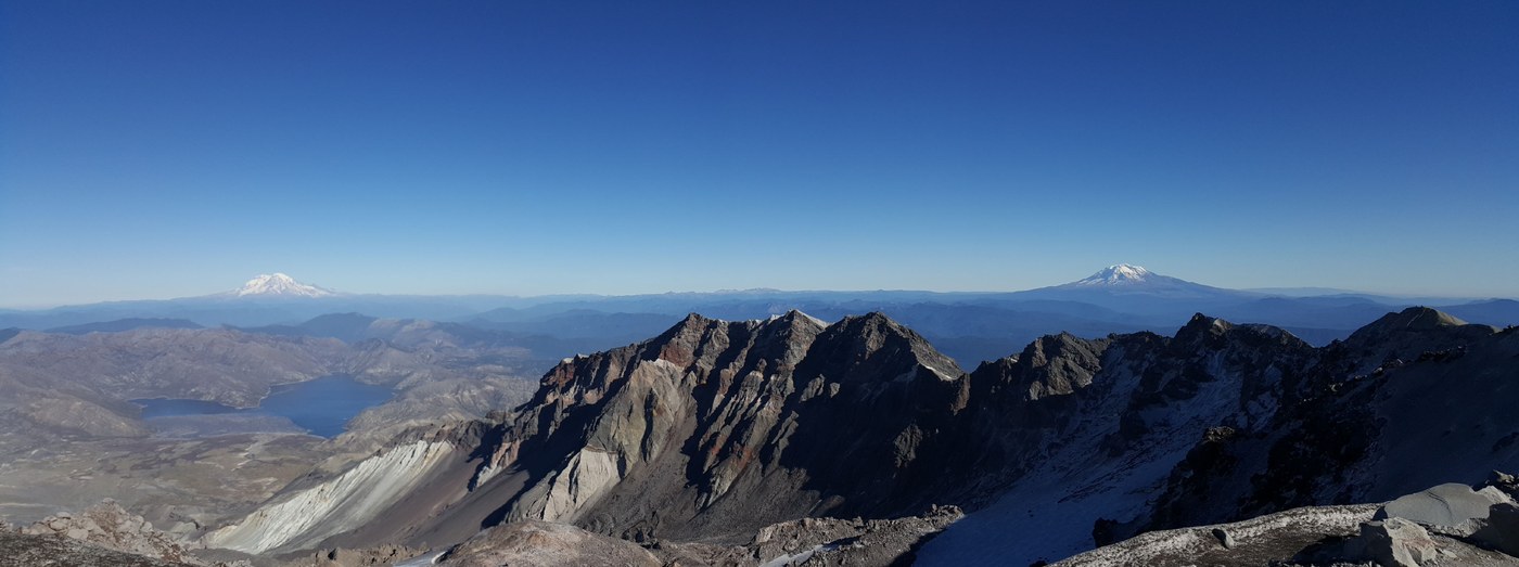
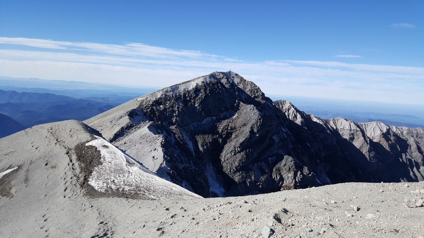
Roughly .4 miles to the left along the crater rim to the true summit! I was amazed at how many people stop at the first look over the rim and don't go all the way to the top! It is roughly 20 to 30 minutes up, down, up and over, but I thought it was totally worth it! I wasn't about to work that hard and not actually go to the TOP of the mountain! There were a LOT of people on the mountain and maybe 10 percent saw the true summit. I did feel the temptation to skip it, and it was an area I underestimated from the reports I read. It seemed like it was much closer from the photos I had seen. After arriving at the first view over the rim it took me exactly 1hr round trip over to the true summit and back which included stops for pictures along the way and at the top.
Trailhead to the true summit was 4hr 30min with a couple of rest stops and about a 20min snack break. Summit back to trailhead was 3hr 20min. No water on the trail, I brought 2.7 liters and drank about 2 liters. Also, the main description lists this as 10 miles, but Gaia had it at 8.8 miles and the Relive app calculated the route at 9.2.
While planning this hike I searched and read many of the trip reports which were very helpful but one thing I wasn't quite prepared for was the terrain. I mean I was and I wasn't, it just wasn't how I "pictured it" even though I had seen pictures. Now that I have experienced it, I know that the descriptions were good, what wasn't accurate was what I pictured in my mind! For some this is part of the fun and mystery of discovery, but if you would like to be a little better prepared for what you are in for or are a visual person you can watch a short RELIVE video that shows my route and photos/video of the terrain. (The video / link and Weather link does not show up on the app, you need to look at the trip report on the WTA website).
Comment if you have questions!


Comments
Jane P on Mount St. Helens - Monitor Ridge
Super helpful, generous detail!thanks so much!
Posted by:
Jane P on Nov 04, 2020 06:10 AM